Summary
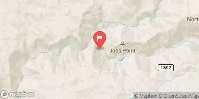
The ideal streamflow range for this run is between 200 and 800 cfs. The segment mileage for the Clavey River run is approximately 10 miles, beginning at the confluence of Bell and Lily Creeks and ending at 3N01.
This run is rated as Class IV-V and is not recommended for beginners. The rapids on this run include Technical, Clavey Falls, and Staircase, which are all challenging and require advanced paddling skills. The river also contains many obstacles such as boulders, logs, and steep drops.
There are specific regulations that need to be followed when paddling the Clavey River. The river is located in a protected wilderness area, and therefore, no motorized vehicles are allowed on or near the river. Camping is allowed in designated areas only, and all waste must be packed out. Additionally, all paddlers must obtain a permit from the Stanislaus National Forest Service.
Overall, the Clavey River run is a challenging and exciting experience for advanced paddlers. It is important to follow the regulations and safety guidelines to ensure a safe and enjoyable trip.
°F
°F
mph
Wind
%
Humidity
15-Day Weather Outlook
River Run Details
| Last Updated | 2026-01-26 |
| River Levels | 1700 cfs (9.16 ft) |
| Percent of Normal | 112% |
| Status | |
| Class Level | iv-v |
| Elevation | ft |
| Streamflow Discharge | cfs |
| Gauge Height | ft |
| Reporting Streamgage | USGS 11277300 |
5-Day Hourly Forecast Detail
Nearby Streamflow Levels
Area Campgrounds
| Location | Reservations | Toilets |
|---|---|---|
 Hull Creek Campground
|
||
 Hull Creek
|
||
 Fraser Flat
|
||
 Fraser Flat Campground
|
||
 Meadowview
|
||
 Meadowview Campground
|
River Runs
-
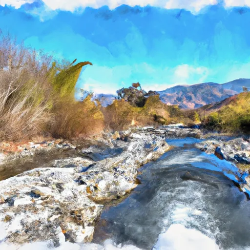 Clavey River At Confluence Of Bell And Lily Creeks To 3N01
-
 0.15 Mile Downstream From Road 4N26B To Confluence With Lilly Creek
-
 One-Tenth Mile Downstream Of Coffin Hollow To Confluence With Bell Creek And Clavey River
-
 Lilly Creek (Source At Chewing Gum Lake And Y Meadow Lake) To One-Tenth Mile Downstream Of Coffin Hollow
-
 Clavey River From 3N01 To Cottonwood Road
-
 One-Tenth Mile Upstream Of Crabtree Trailhead To 0.15 Mile Downstream Of Road 4N26B


