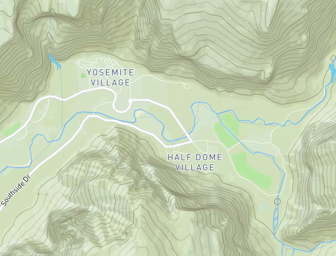
Summary
Regional Streamflow Levels
15-Day Long Term Forecast
River Run Details
| Last Updated | 2026-05-03 |
| River Levels | 9 cfs (4.34 ft) |
| Percent of Normal | 3% |
| Status | |
| Class Level | iii-iv |
| Elevation | ft |
| Streamflow Discharge | cfs |
| Gauge Height | ft |
| Reporting Streamgage | USGS 11015000 |
5-Day Hourly Forecast Detail
Area Campgrounds
| Location | Reservations | Toilets |
|---|---|---|
 Wooded Hill Group Campground
|
||
 Laguna Campground
|
||
 Burnt Rancheria
|
||
 El Prado Group Campground
|
||
 Laguna
|
||
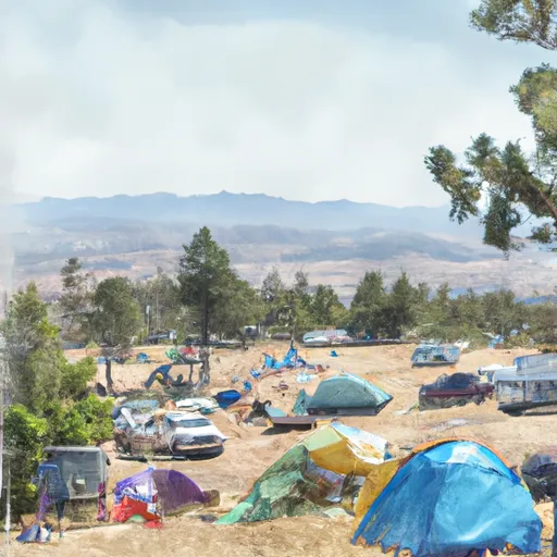 Burnt Rancheria Campground
|
River Runs
-
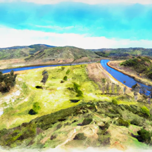 Crouch Ranch To Morena Reservoir
-
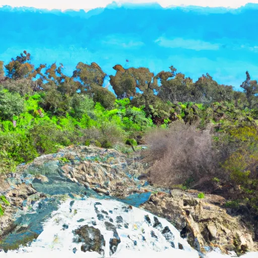 Forest Boundary, Above Zoo Creek Below Spillway (S1/2, Sec 3, T11S, R2E) To La Jolla Indian Reservation Boundary (N1/2, Sec 31, T10S, R2E)
-
 Cañon La Presa (Valle Las Palma to Presa Rodriguez)
-
 Confluence Of Fry And Iron Spring Creeks (E1/2, Sec 3, T10S,R1E To Se1/4 Sec 16, T10S, R2E
-
 Palm Canyon
-
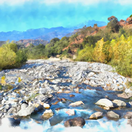 Santa Margarita River



 Cuyamaca Rancho State Park
 Sawtooth Mountains Wilderness
 Lake Morena County Park
 Wilderness Hauser
 Wilderness Pine Creek
 Cuyamaca Lake
 Barrett Lake (San Diego City)
 Barrett Lake
 El Capitan Reservoir
 Jennings Lake
 Continue with Snoflo Premium