Summary
The ideal streamflow range for this river is between 200 and 600 cfs, with the optimal time to go being during the spring snowmelt or after a heavy rain.
This river is classified as a Class III-IV, meaning it is moderately difficult and requires some experience and skill to navigate. The segment mileage of this river run is approximately 9 miles.
There are several notable rapids and obstacles on this river, including Devil's Slide Rapid, which is a Class IV rapid with a tricky move through a narrow chute, and The Narrows, a Class III rapid with tight turns and boulder obstacles.
It is important to note that this river is located on Camp Pendleton, a military base, and therefore specific regulations and permits are required to access and raft on the river. All river users must obtain a permit from the base's Natural Resources Office and follow all safety regulations and guidelines.
Overall, the Whitewater River Run in San Mateo Wilderness Boundaries to NF Boundary with Camp Pendleton is a challenging and exciting whitewater rafting destination, but it is important to follow all regulations and safety precautions to ensure a safe and enjoyable experience.
°F
°F
mph
Wind
%
Humidity
15-Day Weather Outlook
River Run Details
| Last Updated | 2025-06-28 |
| River Levels | 1 cfs (3.13 ft) |
| Percent of Normal | 0% |
| Status | |
| Class Level | iii-iv |
| Elevation | ft |
| Streamflow Discharge | cfs |
| Gauge Height | ft |
| Reporting Streamgage | USGS 11070500 |
5-Day Hourly Forecast Detail
Nearby Streamflow Levels
Area Campgrounds
| Location | Reservations | Toilets |
|---|---|---|
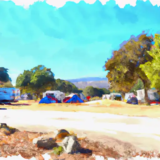 El Cariso
|
||
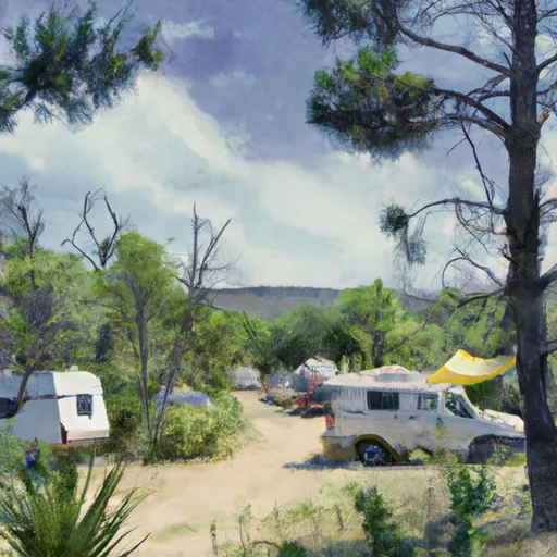 El Cariso Campground
|
||
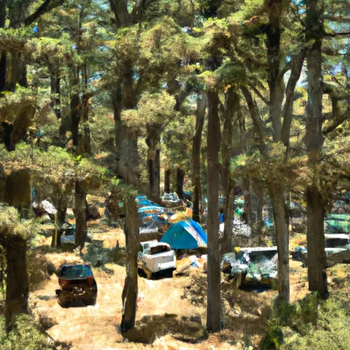 Upper San Juan Campground
|
||
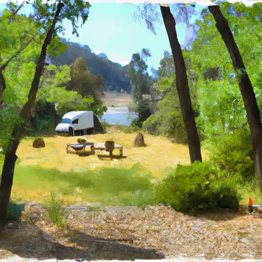 Upper San Juan
|
||
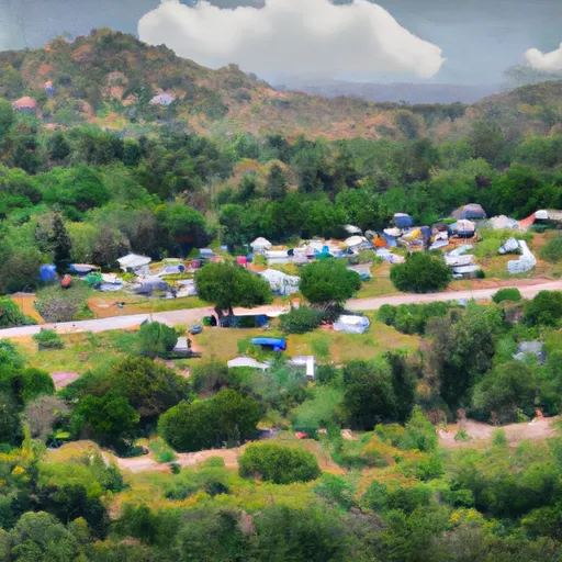 Wildomar
|
||
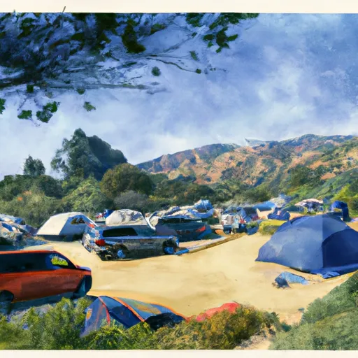 Wildomar Campground
|



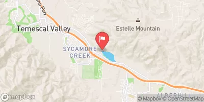
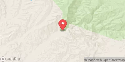



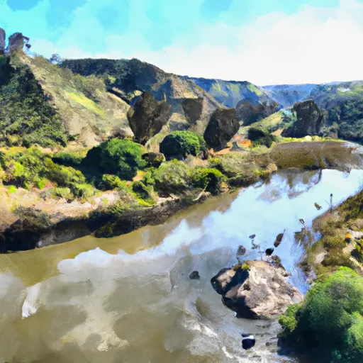 San Mateo Wilderness Boundary To Nf Boundary With Camp Pendleton
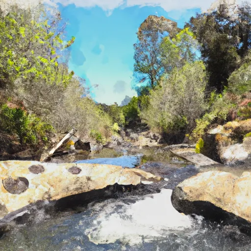 Devil Canyon Tributary To San Mateo Creek
 Elm Grove Recreation Area
 Lakepoint Park
 McVicker Canyon Park
 Swick and Matich Park
 Summer Lake Park