Summary
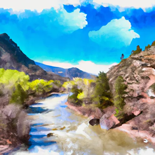
The ideal streamflow range for this run is between 500-1000 cfs, with peak flow occurring in late May to early June. The segment mileage for this run is approximately 11 miles long, starting in Section 1, T33N, R3E and ending at the confluence with the East Fork in Section 17, T33N, R4E.
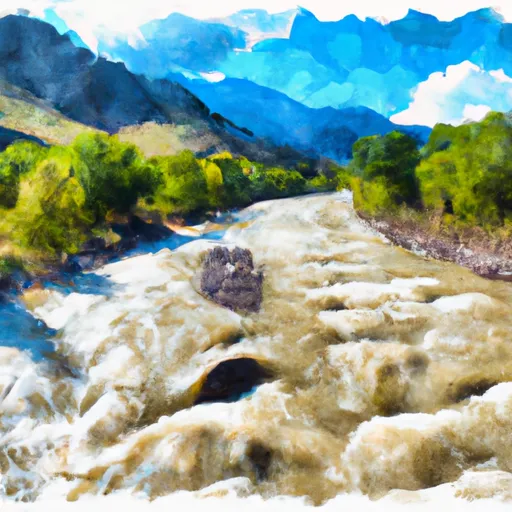
This run is classified as Class III-IV, with several challenging rapids and obstacles, including Pinball, Zoom Flume, and Sledgehammer. Pinball is a technical rapid that requires precise maneuvering through a series of rocks and boulders. Zoom Flume is a fast and steep drop that requires paddlers to navigate a narrow channel. Sledgehammer is a large hole that can flip rafts and cause kayakers to get stuck.
There are specific regulations in place for this area, including a required boater safety course and a permit system for commercial outfitters. Additionally, all participants must wear appropriate safety gear, including helmets and life jackets, and follow Leave No Trace principles while on the river.
°F
°F
mph
Wind
%
Humidity
15-Day Weather Outlook
River Run Details
| Last Updated | 2025-11-13 |
| River Levels | 600 cfs (4.18 ft) |
| Percent of Normal | 113% |
| Status | |
| Class Level | iii-iv |
| Elevation | ft |
| Streamflow Discharge | cfs |
| Gauge Height | ft |
| Reporting Streamgage | USGS 09344000 |
5-Day Hourly Forecast Detail
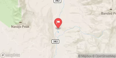
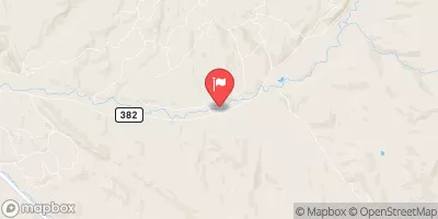
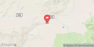
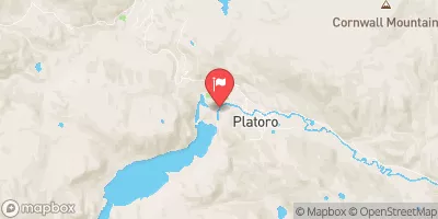
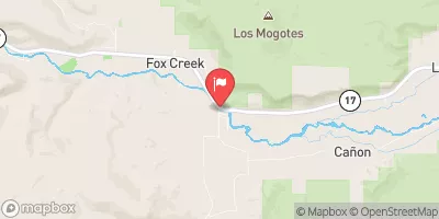
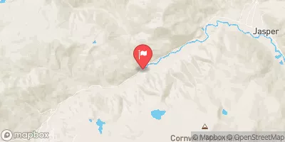
Nearby Streamflow Levels
Area Campgrounds
| Location | Reservations | Toilets |
|---|---|---|
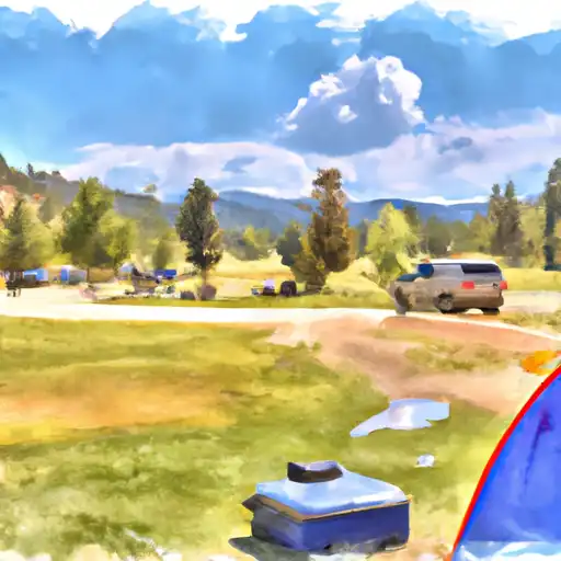 Trujillo Meadows
|
||
 Trujillo Meadows Campground
|
||
 Conejos
|
||
 Spectacle Lake
|
||
 Spectacle Lake Campground
|
||
 Elk Creek Overflow Campground
|
River Runs
-
 Sec 1, T33N, R3E To Confluence With East Fork--Sec 17, T33N, R4E
-
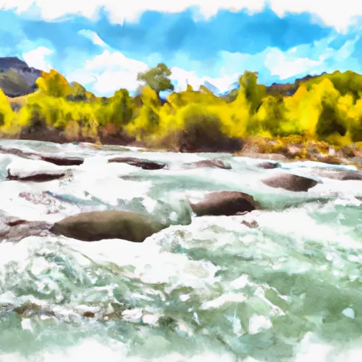 Dipping Lakes--Sec 5, T33N, R4E To Confluence With West Fork--Sec 17, T33N, R4E
-
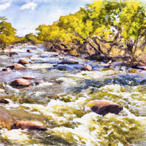 Lower Branch--Sec 28, T33N, R3E; Upper Branch--Sec 15, T33N, R3E To Sec 7, T32N, R4E
-
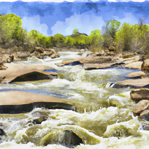 Sec 17, T35N, R4E To Sec 36, T35N, R4E
-
 Lake Fork--Confluence With South Fork To 1 Mile Below Town Of Platoro
-
 South Fork--Sec 19, T35N, R4E To Sec 36, T35N, R4 1/2E


 Trujillo Meadows Lake
 Spectacle Lake Fishing Site
 La Manga Creek (Beaver Ponds)