2026-02-20T23:00:00-07:00
* WHAT...Snow expected. Total snow accumulations between 3 to 6 inches. Winds gusting as high as 35 mph. * WHERE...Animas River Basin, Four Corners/Upper Dolores River, and San Juan River Basin. * WHEN...Until 11 PM MST Friday. * IMPACTS...Travel could be very difficult. The hazardous conditions could impact the Friday morning and evening commutes.
Summary
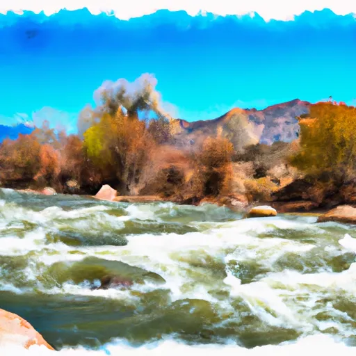
The ideal streamflow range for this segment is between 300 and 800 cubic feet per second (cfs), which offers exciting rapids while still being safe for experienced paddlers. The class rating of this segment ranges from class III to IV, with some challenging rapids like "Hell Hole" and "Pinball."
The total segment mileage of the Whitewater River Run is approximately 10 miles, and it typically takes around 3-4 hours to complete. Some notable rapids and obstacles along the way include "Entrance Exam," "Paddle Bitch," "Sledgehammer," and "Jaws." There are also some scenic spots along the river, like Indian Peaks Wilderness and the Arapaho National Recreation Area.
As for regulations, all boaters are required to have a personal flotation device (PFD) and a whistle. Commercial outfitters must have a permit to operate in the area. Additionally, it is important to respect private property along the river and properly dispose of all trash.
°F
°F
mph
Wind
%
Humidity
15-Day Weather Outlook
River Run Details
| Last Updated | 2025-11-20 |
| River Levels | 1110 cfs (3.0 ft) |
| Percent of Normal | 153% |
| Status | |
| Class Level | iii |
| Elevation | ft |
| Streamflow Discharge | cfs |
| Gauge Height | ft |
| Reporting Streamgage | USGS 09349800 |
5-Day Hourly Forecast Detail
Nearby Streamflow Levels
 Piedra River Near Arboles
|
113cfs |
 Los Pinos River Near Ignacio
|
14cfs |
 Vallecito Creek Near Bayfield
|
21cfs |
 San Juan River At Pagosa Springs
|
74cfs |
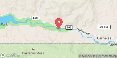 San Juan River Near Carracas
|
112cfs |
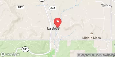 Spring Creek At La Boca
|
40cfs |
Area Campgrounds
| Location | Reservations | Toilets |
|---|---|---|
 Piedra Camp 3
|
||
 Piedra Camp 2
|
||
 Piedra Camp 1
|
||
 Lower Piedra Campground
|
||
 Lower Piedra
|
||
 Ute
Ute
|


 Fdr 631 To Indian Creek
 Indian Creek To Co Hwy 160