Summary
The ideal streamflow range for this segment is between 250-500 cfs, which provides a challenging but manageable ride. The class rating for this segment is Class III-IV, which means that there are some technical rapids and obstacles that require skill and experience to navigate.
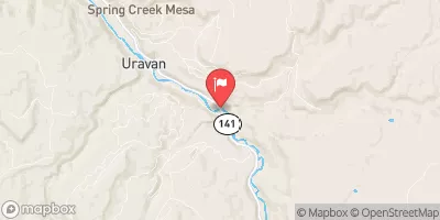
The San Miguel River Segment 6 is a 12-mile stretch of river that starts at the Beaver Creek Bridge and ends at the Society Turn Bridge. Along the way, there are several notable rapids and obstacles, including the S-Turn, Sawpit, and the Plunge. The S-Turn is a technical rapid that requires precise maneuvering to navigate, while the Sawpit is a steep drop with a narrow chute that requires proper line selection to avoid hazards. The Plunge is a Class IV rapid that features a large drop and requires strong paddling skills to navigate.
There are specific regulations in place for this area, including a permit system that limits the number of commercial outfitters allowed to operate on the river. Additionally, all boaters are required to wear personal flotation devices (PFDs) and carry a rescue rope. It is also important to follow Leave No Trace principles and pack out all trash and waste.
Overall, the San Miguel River Segment 6 offers a challenging and rewarding whitewater experience for experienced paddlers. It is important to check current streamflow conditions and plan accordingly for safety and enjoyment on the river.
°F
°F
mph
Wind
%
Humidity
15-Day Weather Outlook
River Run Details
| Last Updated | 2025-06-28 |
| River Levels | 1220 cfs (5.14 ft) |
| Percent of Normal | 50% |
| Status | |
| Class Level | iii-iv |
| Elevation | ft |
| Streamflow Discharge | cfs |
| Gauge Height | ft |
| Reporting Streamgage | USGS 09177000 |
5-Day Hourly Forecast Detail
Nearby Streamflow Levels
Area Campgrounds
| Location | Reservations | Toilets |
|---|---|---|
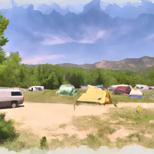 Free Campground (The Ball Park)
|
||
 Dolores River Camp 1
|
||
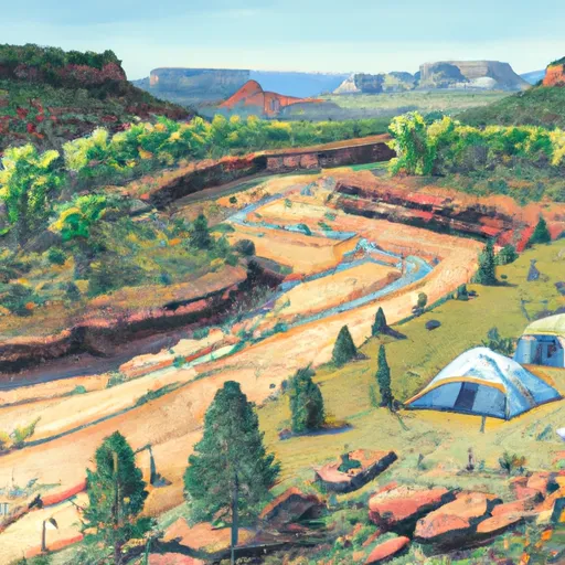 Dolores River Camp 2
|
||
 Dolores River Camp 3
|
||
 Dolores River Camp 4
|
||
 Dolores River Camp 5
|


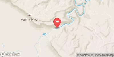
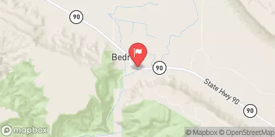
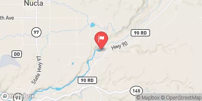
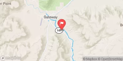
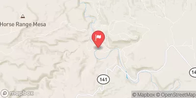
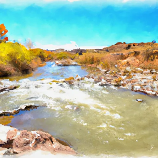 San Miguel River Segment 6
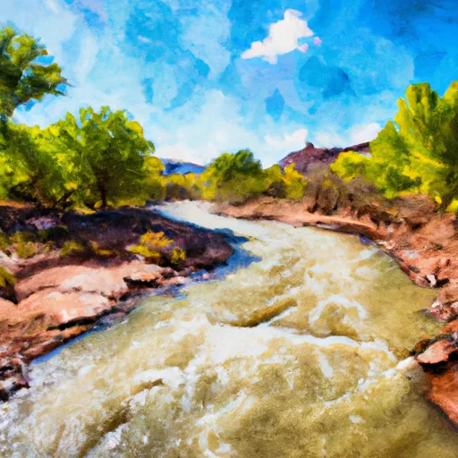 Lower Dolores River
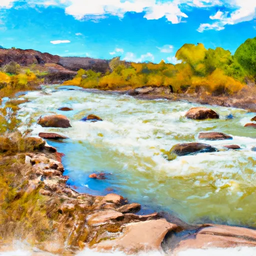 Dolores River Segment 2
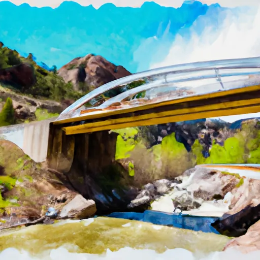 Little Gypsum Valley Bridge To One Mile Above Hwy 90 Bridge
 Paradox and Mesa Canyon (Bedrock to Gateway)