Summary
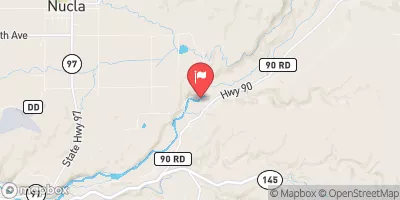
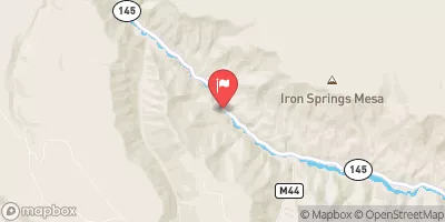
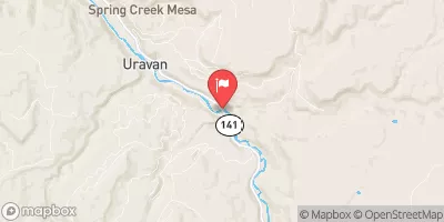
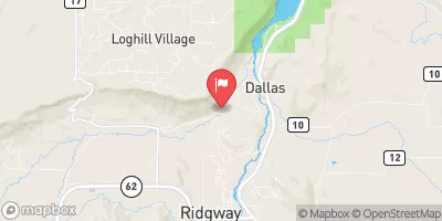
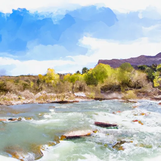
The ideal streamflow range for this segment is between 500 and 1,000 cubic feet per second (cfs) during the late spring and early summer months, but can run higher during peak runoff. The class rating for this segment is Class III-V, with steep drops, narrow channels, and numerous obstacles that require precise maneuvering. The segment covers approximately 14 miles from Specie Creek to the town of Uravan, offering stunning views of red rock canyons and desert landscapes.
Some of the specific rapids and obstacles on this segment include "The Plunge," a steep and narrow chute with a large boulder at the bottom, and "S-Turn," a twisting rapid with several boulders and drops. Other notable rapids include "Pinball," "Sneak Right," and "Boulder Garden." Due to the high level of difficulty, the San Miguel River Segment 3 is recommended for experienced paddlers only.
It is important to note that there are specific regulations in place for this area, including mandatory permits for commercial outfitters and restrictions on camping and campfires. Additionally, boaters should be aware of private property boundaries and respect them to avoid conflicts with landowners. Overall, the San Miguel River Segment 3 is a challenging and rewarding whitewater river run for those with the necessary skills and experience to navigate its rapids and obstacles.
°F
°F
mph
Wind
%
Humidity
15-Day Weather Outlook
River Run Details
| Last Updated | 2025-06-28 |
| River Levels | 1070 cfs (4.15 ft) |
| Percent of Normal | 49% |
| Status | |
| Class Level | iii-v |
| Elevation | ft |
| Streamflow Discharge | cfs |
| Gauge Height | ft |
| Reporting Streamgage | USGS 09174600 |
5-Day Hourly Forecast Detail
Nearby Streamflow Levels
Area Campgrounds
| Location | Reservations | Toilets |
|---|---|---|
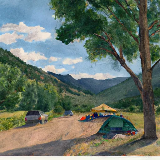 Horsefly Camp
|
||
 Blue Spruce Camp
|
||
 Ponderosa Camp
|
||
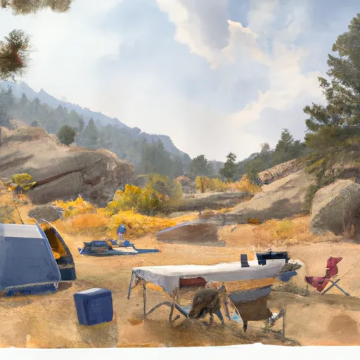 Little Bench Camp
|
||
 Ledges Rockhouse
|
||
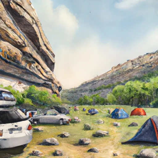 Ledges Cottonwood
|


 San Miguel River Segment 3
 Ledges
 San Miguel River Segment 2
 Naturita Creek
 Norwood Canyon