Summary
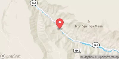
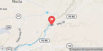
The ideal streamflow range for this segment is between 400-900 cfs, which typically occurs from May to June during snowmelt season. The segment covers a distance of 12.3 miles, starting from the town of Placerville and ending at the junction with the Dolores River.
There are several notable rapids and obstacles along this segment, including the S-Turn Rapid, The Boneyard, and the Rico-Silverton Gauge. The S-Turn Rapid is a class III+ rapid that requires precise maneuvering to navigate through tight turns. The Boneyard is a class IV rapid that features several large boulders and requires expert-level paddling skills to navigate safely. The Rico-Silverton Gauge is a crucial landmark for assessing water levels and determining whether it is safe to continue downstream.
There are specific regulations in place for the San Miguel River Segment 2. All boaters must wear a personal flotation device (PFD) and helmets are recommended. Additionally, there are no camping, fires, or alcohol allowed along the river corridor. It is important to respect private property rights and obtain permission before accessing any private land along the river. By following these regulations and respecting the natural environment, boaters can enjoy a safe and exhilarating whitewater experience on the San Miguel River Segment 2.
°F
°F
mph
Wind
%
Humidity
15-Day Weather Outlook
River Run Details
| Last Updated | 2025-06-28 |
| River Levels | 920 cfs (6.06 ft) |
| Percent of Normal | 59% |
| Status | |
| Class Level | iii+-iv |
| Elevation | ft |
| Streamflow Discharge | cfs |
| Gauge Height | ft |
| Reporting Streamgage | USGS 09172500 |
5-Day Hourly Forecast Detail
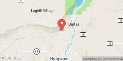
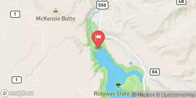
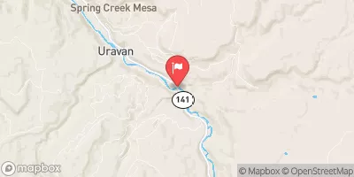
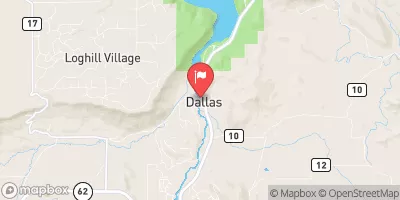
Nearby Streamflow Levels
Area Campgrounds
| Location | Reservations | Toilets |
|---|---|---|
 Little Bench Camp
|
||
 Ponderosa Camp
|
||
 Blue Spruce Camp
|
||
 Horsefly Camp
|
||
 Lower Beaver
|
||
 Ledges Rockhouse
|


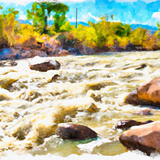 San Miguel River Segment 2
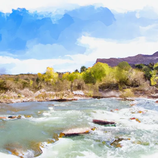 San Miguel River Segment 3
 Norwood Canyon
 Ledges
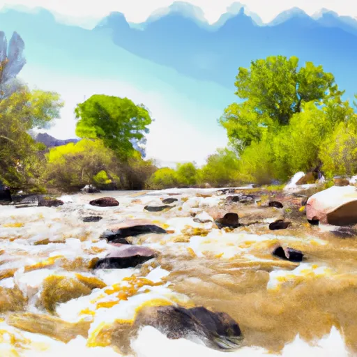 Naturita Creek