Summary
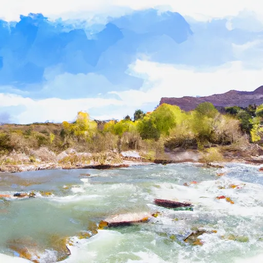
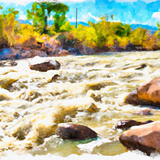
The run starts with a calm stretch, followed by a narrow and bumpy section called "Little Niagara." The river then flows through a series of ledges, creating exhilarating drops and rapids. The most challenging section is the "S-Turn," which requires precise maneuvering to avoid rocks and navigate through a narrow channel. The best time to float this section is during spring and early summer when water levels are higher, with recommended CFS of 500-1000. Overall, the Ledges River Run is perfect for intermediate-level rafters looking for an exciting adventure.
°F
°F
mph
Wind
%
Humidity
15-Day Weather Outlook
River Run Details
| Last Updated | 2023-06-13 |
| River Levels | 179 cfs (4.57 ft) |
| Percent of Normal | 109% |
| Optimal Range | 600-1200 cfs |
| Status | Too Low |
| Class Level | III |
| Elevation | 7,011 ft |
| Gradient | 50 FPM |
| Streamflow Discharge | 51.4 cfs |
| Gauge Height | 3.9 ft |
| Reporting Streamgage | USGS 09172500 |
5-Day Hourly Forecast Detail
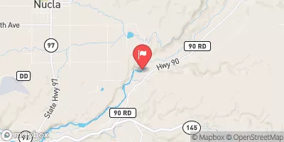
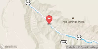
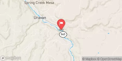
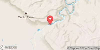
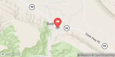
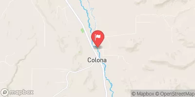
Nearby Streamflow Levels
Area Campgrounds
| Location | Reservations | Toilets |
|---|---|---|
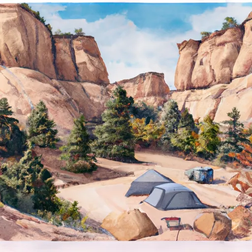 Ledges Rockhouse
|
||
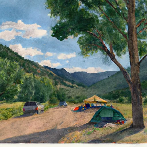 Horsefly Camp
|
||
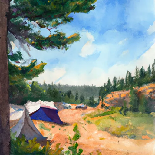 Blue Spruce Camp
|
||
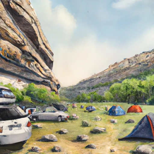 Ledges Cottonwood
|
||
 Ponderosa Camp
|
||
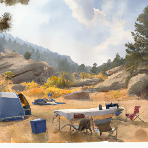 Little Bench Camp
|


 Ledges
 San Miguel River Segment 3
 San Miguel River Segment 2
 Naturita Creek
 Norwood Canyon