Summary
The ideal streamflow range for this run is between 200-500 cfs, with optimal conditions occurring after a good rainfall.
The segment mileage of Cottonwood Creek is approximately 5 miles, with a class rating of III-IV. This means that the run is considered to be moderately difficult to difficult, with significant rapids and obstacles that require technical paddling skills.
There are several notable rapids and obstacles on the Cottonwood Creek run. Some of the most challenging include "The Notch," a narrow and steep drop that requires precise maneuvering, and "The Squeeze," a tight and technical rapid that requires expert-level paddling.
In terms of regulations, Cottonwood Creek is located in a National Forest area, and all visitors are required to follow standard Leave No Trace principles. Additionally, there are restrictions on camping and fires in the area, and visitors are encouraged to check with local authorities for current regulations before embarking on their trip.
°F
°F
mph
Wind
%
Humidity
15-Day Weather Outlook
River Run Details
| Last Updated | 2025-06-28 |
| River Levels | 540 cfs (4.09 ft) |
| Percent of Normal | 53% |
| Status | |
| Class Level | None |
| Elevation | ft |
| Streamflow Discharge | cfs |
| Gauge Height | ft |
| Reporting Streamgage | USGS 09149500 |
5-Day Hourly Forecast Detail
Nearby Streamflow Levels
Area Campgrounds
| Location | Reservations | Toilets |
|---|---|---|
 Columbine Campground - Ouray RD
|
||
 Columbine Campground
|
||
 Escalante Potholes Rec Site
|


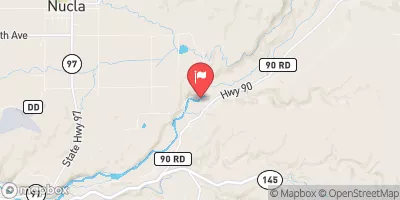
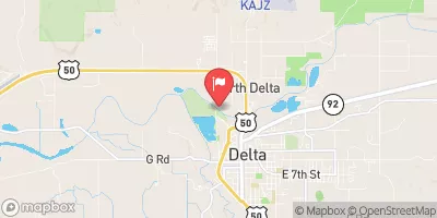
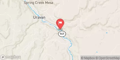
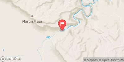
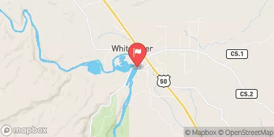
 Cottonwood Creek
 Monitor Creek
 Potter Creek
 Roubideau Creek Segment 1
 Roubideau Creek Segment 2