Make an Announcement

Communicate warnings, disperse advice, and share.


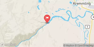
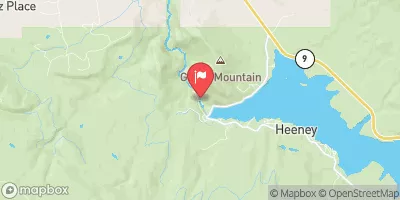
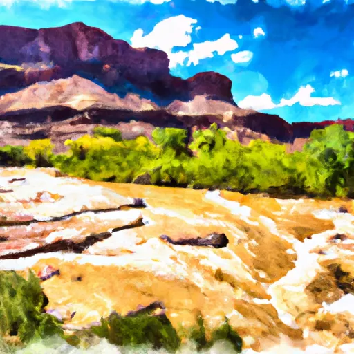
GORE CANYON

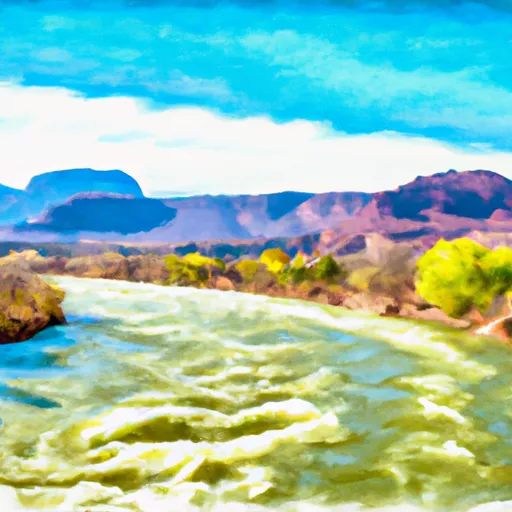
Whitewater River Run


Colorado Colorado River

Gore Canyon

Class IV TO V+ Easy

438 CFS

Runnable
23°, Partly Sunny Then Snow Likely

Suggested river levels for paddling this section of the Colorado River are between a bare minimum of 370cfs and a high of 2,400cfs. River conditions sourced from USGS 09058000, the Colorado River Near Kremmling Remember only watercraft are permitted at Gore Canyon.

Status Runnable
Class Level IV to V+
Elevation 7,356 ft
Run Length 9.0 Mi
Gradient 115 FPM
Streamflow Discharge 438 cfs
Gage Height 4.0 ft
Reporting Streamgage Colorado River Near Kremmling
USGS 09058000

Nearby Snowpack and Water Data

Gauge Streamflow Stage
Beaver Creek At Avon
USGS 09067000
8 cfs 2.0 ft
Ef Arkansas R At Us Hiway 24
USGS 07079300
17 cfs 2.5 ft
Booth Creek Near Minturn
USGS 09066200
1 cfs 3.0 ft
Michigan River At Walden
USGS 06617100
13 cfs 1.2 ft
Halfmoon Creek Near Malta
USGS 07083000
5 cfs 1.3 ft
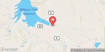
Williams Fork Near Parshall
USGS 09037500
44 cfs 2.1 ft
Williams Fork Near Leal
USGS 09036000
20 cfs 1.5 ft
Vasquez Creek At Winter Park
USGS 09025000
7 cfs 1.5 ft
Michigan River Near Cameron Pass
USGS 06614800
0 cfs 2.0 ft
Blue River Near Dillon
USGS 09046600
33 cfs 4.2 ft
Snotel Site Snowpack 24hr Change
Saint Elmo
SNOTEL 1100
53" -2"
Berthoud Summit
SNOTEL 335
66" -1"
Bear River
SNOTEL 1061
47" -1"
Brumley
SNOTEL 369
47" -1"
Dry Lake
SNOTEL 457
90" -1"
Jones Pass
SNOTEL 970
57" -1"
Jackwhacker Gulch
SNOTEL 935
45" -1"
Old Battle
SNOTEL 673
130" -2"
Mccoy Park
SNOTEL 1040
65" -2"
Summit Ranch
SNOTEL 802
51" -2"
Rawah
SNOTEL 1032
51" -2"
Deadman Hill
SNOTEL 438
64" -1"
Beaver Ck Village
SNOTEL 1041
53" -2"
Vail Mountain
SNOTEL 842
65" -1"
Hayden Pass
SNOTEL 1102
30" 2"
Brooklyn Lake
SNOTEL 367
79" -1"
Cinnabar Park
SNOTEL 1046
63" 1"
Whiskey Park
SNOTEL 859
116" 0"
Kiln
SNOTEL 556
52" -1"
South Brush Creek
SNOTEL 772
50" 0"
Stillwater Creek
SNOTEL 793
39" 1"
Upper Taylor
SNOTEL 1141
74" -1"
Phantom Valley
SNOTEL 688
49" -2"
Lynx Pass
SNOTEL 607
49" 0"
Buckskin Joe
SNOTEL 938
31" 0"
Buffalo Park
SNOTEL 913
59" 0"
Blackhall Mtn
SNOTEL 1119
111" -2"
Zirkel
SNOTEL 1033
91" -2"
Elk River
SNOTEL 467
82" -1"
Long Draw Resv
SNOTEL 1123
63" -3"
Rabbit Ears
SNOTEL 709
88" 2"
Elliot Ridge
SNOTEL 1120
76" -3"
Tower
SNOTEL 825
147" 0"
Chapman Tunnel
SNOTEL 1101
57" -1"
Porphyry Creek
SNOTEL 701
67" 0"
Grizzly Peak
SNOTEL 505
60" 0"
Rough And Tumble
SNOTEL 939
20" -1"
Willow Creek Pass
SNOTEL 869
63" -1"
Fremont Pass
SNOTEL 485
59" -1"
Independence Pass
SNOTEL 542
62" -1"
Med Bow
SNOTEL 1196
114" -2"
Copper Mountain
SNOTEL 415
52" -2"
Middle Fork Camp
SNOTEL 1014
49" 1"
Arapaho Ridge
SNOTEL 1030
89" -2"
Hoosier Pass
SNOTEL 531
52" 0"
Roach
SNOTEL 718
63" -3"
Sand Lake
SNOTEL 731
97" -1"
Park Cone
SNOTEL 680
57" -1"
Ivanhoe
SNOTEL 547
61" -1"
Webber Springs
SNOTEL 852
94" 0"
Loveland Basin
SNOTEL 602
64" 0"
Joe Wright
SNOTEL 551
79" -5"

Popular Destinations

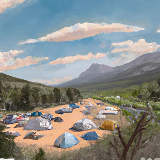
Campground Campsites Reservations Toilets Showers Elevation
Pumphouse 14 7,491 ft
Willows 35 7,973 ft
Cataract Creek 5 8,578 ft
Gore Creek 25 8,720 ft
Elliott Creek 15 8,018 ft
Ski Area Snowpack Air Temperature 5 Day Forecast
Breckenridge Ski Resort 52" 17° 2.24"
Vail 65" 17° 3.78"
Beaver Creek Resort 65" 26° 4.33"
Copper Mountain Resort 52" 17° 2.24"
Ski Cooper 31" 17° 1.19"
River Run Streamflow Length Class
Lower Eagle (Edwards Water Plant to Eagle) 250.0cfs 17.0 Mi III- to III+
Dowd Chute 150.0cfs 1.0 Mi III+ to IV+
Pumphouse 552.0cfs 14.0 Mi II- to III+
Lower Blue (Green Mountain to Spring Creek) 97.6cfs 3.8 Mi II+ to III
Lower Eagle (Edwards Water Plant to Eagle) 250.0cfs 17.0 Mi III- to III+
Upper Ten Mile 60.5cfs 2.0 Mi IV+ to V
State Bridge to Burns 552.0cfs 20.0 Mi I to II+
Middle Ten Mile 60.5cfs 3.0 Mi III+ to IV
Lower Blue (Green Mountain to Spring Creek) 97.6cfs 3.8 Mi II+ to III
Upper Gore Creek 56.9cfs 4.0 Mi II+ to III
Lower Blue (Green Mountain to Spring Creek) 97.6cfs 3.8 Mi II+ to III
Upper Blue (Blue River CG to Columbine Landing) 179.0cfs 3.0 Mi III to IV-
Silverthorne Town Run 42.4cfs 0.5 Mi II to III-
Upper-Upper Ten Mile 60.5cfs 3.0 Mi III+ to IV-
Upper Gore Creek 56.9cfs 4.0 Mi II+ to III
State Bridge to Two Bridges 552.0cfs 4.8 Mi I to II+
Lower Ten Mile 60.5cfs 3.0 Mi II to III
Gore Canyon 552.0cfs 9.0 Mi IV to V+

Log Your Visit

When was your last visit to Gore Canyon?

Add a Photo

How was it? How were conditions?

Rate the paddle


Submit

Leave A Review

Gore Canyon

Submit

Upload an Image

Gore Canyon
Login

Need an Account?

Forgot Your Password?

Delete User Account

Welcome to Snoflo


Continue with a free account

Already Have an Account?


Snoflo Premium

Your first week's free. Cancel anytime

Have a Promo Code?


Already Have an Account?

Signup for Basic Access


Welcome to Snoflo


Continue with a free account

Add Snoflo Premium


Already Have an Account?


Please Verify Your Account

Favorite Limit Reached
Signup for a Free Account

Already Have an Account?