Summary
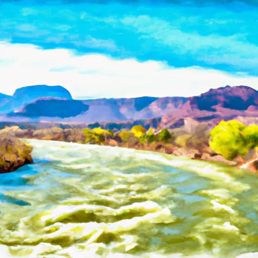
This stretch of water features several challenging rapids, including Yarmony Rapid, Eye of the Needle, and Pinball. The river run is considered to be of moderate difficulty, requiring some previous whitewater experience. The best time to float this section of water is during the spring and early summer, when water levels are high. The recommended flow rate for this river run is between 1,500 and 2,500 cfs. Overall, the Pumphouse River Run is an exciting and challenging adventure for experienced rafters and kayakers.
°F
°F
mph
Wind
%
Humidity
15-Day Weather Outlook
River Run Details
| Last Updated | 2023-06-13 |
| River Levels | 552 cfs (4.29 ft) |
| Percent of Normal | 99% |
| Optimal Range | 600-8000 cfs |
| Status | Too Low |
| Class Level | II- to III+ |
| Elevation | 7,356 ft |
| Run Length | 14.0 Mi |
| Gradient | 15 FPM |
| Streamflow Discharge | 490 cfs |
| Gauge Height | 3.6 ft |
| Reporting Streamgage | USGS 09058000 |


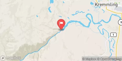
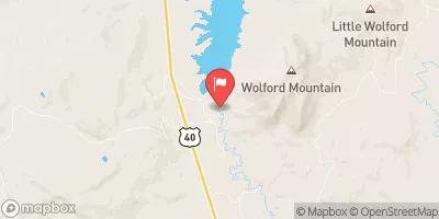
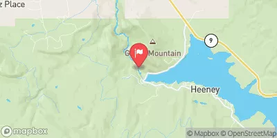
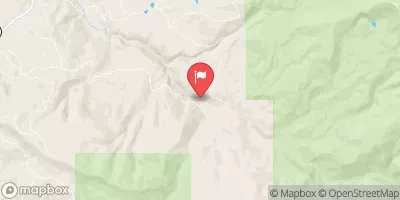
 Pumphouse Rec Site Campsite
 Ueberfluss Campsite
 Pumphouse Rec. Site Campground
 Pumphouse Rec Group Campsite A
 Pumphouse Rec Group Campsite B
 Pumphouse
 Radium Rec Site Boat Ramp
 Confluence Rec Site Boat Ramp
 State Bridge Boat Ramp
 State Bridge River Access
 Two Bridges Boat Ramp
 Pumphouse
 Colorado River Segment 5
 Colorado River Segment 4
 Gore Canyon
 South Section Line Sec 34, T1N, R83W To Confluence With Decker Creek
 State Bridge to Burns