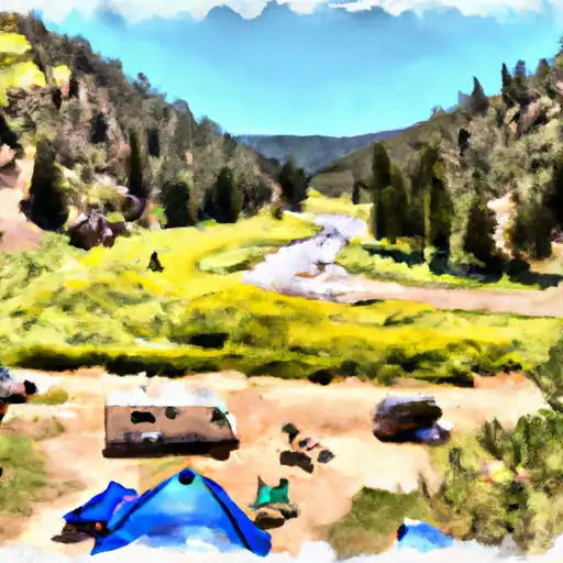
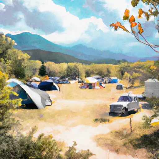
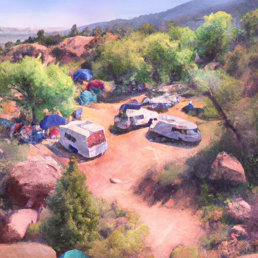
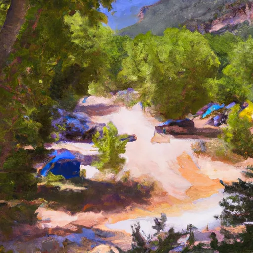
Lower Blue (Green Mountain To Spring Creek)
This is a scenic section of the Blue that is good for beginner boaters at the right flows. At flood flows or higher flows the rating steps up to a solid class III. Rapids are mainly pool drop here but obstacles and possible wood/strainers would make swimming less than desireable.
Suggested river levels for paddling this section of the Blue River are between a bare minimum of 300cfs and a high of 3,000cfs.
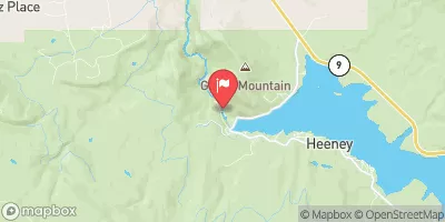
River conditions sourced from USGS 09057500, the Blue River Below Green Mountain Reservoir
Remember only watercraft are permitted
at Lower Blue (Green Mountain to Spring Creek).
Run Stats
Status | Runnable |
Class Level | II+ to III |
Elevation | 7,739 ft |
Run Length | 3.8 Mi |
Gradient | 50 FPM |
Streamflow Discharge | 322 cfs |
Gage Height | 4.1 ft |
Air Temperature | 35° |
River | Blue River |
Reporting Streamgage |
Blue River Below Green Mountain Reservoir
USGS 09057500 |
Mini Canyon
Class II to III |
All Day Wave
Class II- to III- |
The Wall
Class II to III |
Diversion Dams 1+2
Class II to II+ |
Gauge | Streamflow | Stage |
---|---|---|
Colorado River At Windy Gap
USGS 09034250 |
211 cfs | 4.0 ft |
Grand Lake Outlet Blw Chipmunk Ln At Grand Lk
USGS 09014050 |
466 cfs | 8.6 ft |
Ranch Creek Near Fraser
USGS 09032000 |
4 cfs | 4.6 ft |
Lake Creek Near Edwards
USGS 09067200 |
22 cfs | 0.5 ft |
S Clear Cr Abv Lwr Cabin Cr Res Spilwy Nr Georgtwn
USGS 06714500 |
1 cfs | 0.2 ft |
Monte Cristo Diversion Near Hoosier Pass
USGS 09041900 |
0 cfs | 0.0 ft |
Hunter Creek Near Aspen
USGS 09074000 |
8 cfs | 1.1 ft |
Eagle R Bl Wastewater Treatment Plant At Avon
USGS 09067020 |
134 cfs | 3.2 ft |
Yampa River At Steamboat Springs
USGS 09239500 |
167 cfs | 1.5 ft |
Wurtz Ditch Near Tenneessee Pass
USGS 09062500 |
-999 cfs | -4.1 ft |
Snotel Site | Snowpack | 24hr Change |
---|---|---|
Ivanhoe
SNOTEL 547 |
48" | 4" |
Elliot Ridge
SNOTEL 1120 |
49" | 4" |
Phantom Valley
SNOTEL 688 |
20" | 3" |
Fremont Pass
SNOTEL 485 |
48" | 2" |
Berthoud Summit
SNOTEL 335 |
59" | 6" |
cabin creek
SNOTEL GCRC2 |
20.91" | 4.1" |
Brumley
SNOTEL 369 |
33" | 2" |
south platte river
SNOTEL ANTC2 |
2.42" | -0.32" |
climax coop
SNOTEL CLXC2 |
36.92" | 0.39" |
Independence Pass
SNOTEL 542 |
40" | 4" |
Buckskin Joe
SNOTEL 938 |
33" | -1" |
Michigan Creek
SNOTEL 937 |
36" | 0" |
Upper Taylor
SNOTEL 1141 |
25" | 0" |
Arapaho Ridge
SNOTEL 1030 |
57" | 6" |
buena vista,co
SNOTEL BNVC2 |
1.88" | -0.11" |
Vail Mountain
SNOTEL 842 |
28" | 1" |
Webber Springs
SNOTEL 852 |
47" | 3" |
Hoosier Pass
SNOTEL 531 |
46" | 1" |
Chapman Tunnel
SNOTEL 1101 |
30" | 1" |
Kiln
SNOTEL 556 |
24" | 3" |
Loveland Basin
SNOTEL 602 |
60" | 5" |
Buffalo Park
SNOTEL 913 |
38" | 4" |
yampa 5.1 s, co
SNOTEL CO-RT-26 |
5.42" | 2.55" |
Beaver Ck Village
SNOTEL 1041 |
17" | 2" |
Lynx Pass
SNOTEL 607 |
14" | 1" |
nathrop 1.9 wsw, co
SNOTEL CO-CF-54 |
1.28" | -0.1" |
Butte
SNOTEL 380 |
23" | 1" |
Tower
SNOTEL 825 |
91" | 12" |
Rawah
SNOTEL 1032 |
23" | 6" |
Sargents Mesa
SNOTEL 1128 |
35" | 0" |
Brooklyn Lake
SNOTEL 367 |
66" | 1" |
tabernash 2.7 nw, co
SNOTEL CO-GR-68 |
0.36" | 0" |
vail 3.5 e, co
SNOTEL CO-EG-53 |
16.4" | 0.01" |
Saint Elmo
SNOTEL 1100 |
26" | 0" |
Never Summer
SNOTEL 1031 |
49" | 7" |
Willow Park
SNOTEL 870 |
58" | 3" |
Park Cone
SNOTEL 680 |
24" | 0" |
Med Bow
SNOTEL 1196 |
94" | 4" |
Jones Pass
SNOTEL 970 |
39" | 6" |
Whiskey Park
SNOTEL 859 |
53" | -1" |
Jackwhacker Gulch
SNOTEL 935 |
39" | 3" |
Little Snake River
SNOTEL 1047 |
45" | 0" |
fairplay 2.7 wnw, co
SNOTEL CO-PK-15 |
26.53" | 1.43" |
Old Battle
SNOTEL 673 |
81" | 1" |
North French Creek
SNOTEL 668 |
68" | 0" |
Blackhall Mtn
SNOTEL 1119 |
71" | 4" |
Dry Lake
SNOTEL 457 |
31" | 9" |
silverthorne 2.1 wsw, co
SNOTEL CO-SU-6 |
13.4" | 0.36" |
Hayden Pass
SNOTEL 1102 |
33" | -3" |
Summit Ranch
SNOTEL 802 |
17" | 2" |
co st forest st park
SNOTEL CSFC2 |
2.29" | 2.25" |
silverthorne 21 nw, co
SNOTEL CO-SU-35 |
0.37" | 0" |
Rabbit Ears
SNOTEL 709 |
40" | 8" |
nathrop 3.3 wsw, co
SNOTEL CO-CF-19 |
1.31" | -0.06" |
Campground | Campsites | Reservations | Toilets | Showers | Elevation |
---|---|---|---|---|---|
Williams Fork Reservoir - SWA | 24 | 7,848 ft | |||
Halfmoon | 7 | 10,294 ft | |||
Mcdonald Flats | 13 | 7,955 ft | |||
Willows | 35 | 7,973 ft | |||
Blodgett | 6 | 8,836 ft | |||
Camp Hale Memorial | 21 | 9,318 ft | |||
Elliott Creek | 15 | 8,018 ft | |||
Davis Springs | 7 | 7,984 ft | |||
Hornsilver | 7 | 8,843 ft | |||
Cataract Creek | 5 | 8,578 ft | |||
Prairie Point | 33 | 8,002 ft | |||
Gold Park | 11 | 9,246 ft | |||
Gore Creek | 25 | 8,720 ft | |||
Tigiwon | 9 | 9,994 ft |
Ski Area | Snowpack | Air Temperature | 5 Day Forecast |
---|---|---|---|
Breckenridge Ski Resort | 29" | 34° | 10.28" |
Ski Cooper | 33" | 27° | 10.52" |
Copper Mountain Resort | 29" | 34° | 10.28" |
Beaver Creek Resort | 18" | 42° | 6.58" |
Vail | 28" | 31° | 7.52" |
River Run | Streamflow | Length | Class |
---|---|---|---|
Upper Ten Mile | 42.9cfs | 2.0 Mi | IV+ to V |
Lower Blue (Green Mountain to Spring Creek) | 322.0cfs | 3.8 Mi | II+ to III |
Upper Gore Creek | 57.6cfs | 4.0 Mi | II+ to III |
Silverthorne Town Run | 37.5cfs | 0.5 Mi | II to III- |
Pumphouse | 739.0cfs | 14.0 Mi | II- to III+ |
Upper Blue (Blue River CG to Columbine Landing) | 246.0cfs | 3.0 Mi | III to IV- |
Lower Blue (Green Mountain to Spring Creek) | 322.0cfs | 3.8 Mi | II+ to III |
Lower (Bottom Four) | 36.4cfs | 1.0 Mi | V to V+ |
Lower Blue (Green Mountain to Spring Creek) | 322.0cfs | 3.8 Mi | II+ to III |
Dowd Chute | 65.5cfs | 1.0 Mi | III+ to IV+ |
Upper-Upper Ten Mile | 42.9cfs | 3.0 Mi | III+ to IV- |
Lower Eagle (Edwards Water Plant to Eagle) | 134.0cfs | 17.0 Mi | III- to III+ |
Middle Ten Mile | 42.9cfs | 3.0 Mi | III+ to IV |
Lower Blue (Green Mountain to Spring Creek) | 322.0cfs | 3.8 Mi | II+ to III |
Gore Canyon | 853.0cfs | 9.0 Mi | IV to V+ |
Lower Ten Mile | 41.7cfs | 3.0 Mi | II to III |
State Bridge to Burns | 739.0cfs | 20.0 Mi | I to II+ |
The Upper | 16.9cfs | 8.0 Mi | V to V+ |
Breckenridge Whitewater Park (Town Run) | 55.7cfs | 0.25 Mi | II+ to III |
Lower Eagle (Edwards Water Plant to Eagle) | 134.0cfs | 17.0 Mi | III- to III+ |