Shoshone (Power Plant To Grizzly Creek)
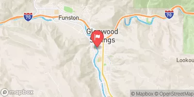
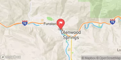
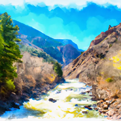
A solid and fun Class III section with good river access and a paved bike path along the river for hiking rapids to hit over and over again. Maneater rapid about half way down is a good spot to hike and hit numerous times. Watch out for commercial rafting traffic which can be heavy during the weekends of July and early August.
Suggested river levels for paddling this section of the Colorado River are between a bare minimum of 500cfs and a high of 10,000cfs.
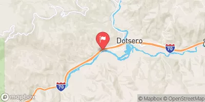
River conditions sourced from USGS 09070500, the Colorado River Near Dotsero
Remember only watercraft are permitted
at Shoshone (Power Plant to Grizzly Creek).
Run Stats
Status | Runnable |
Class Level | III- to IV |
Elevation | 6,113 ft |
Run Length | 1.7 Mi |
Gradient | 49 FPM |
Streamflow Discharge | 1310 cfs |
Gage Height | 2.7 ft |
Air Temperature | 52° |
River | Colorado River |
Reporting Streamgage |
Colorado River Near Dotsero
USGS 09070500 |
China Wall
Class III to IV |
Maneater
Class III |
Tombstone
Class III |
All Day Wave
Class I |
Gauge | Streamflow | Stage |
---|---|---|
Castle Creek At Aspen
USGS 09075400 |
43 cfs | ft |
North Fork Gunnison River Below Paonia
USGS 09134100 |
48 cfs | 0.7 ft |
Smith Fork Near Lazear
USGS 09129600 |
0 cfs | 4.4 ft |
White River Below North Elk Creek Near Buford
USGS 09304115 |
318 cfs | 2.3 ft |
N.F. Gunnison R Blw Leroux Cr
USGS 09135950 |
73 cfs | 7.7 ft |
Hunter Creek Near Aspen
USGS 09074000 |
8 cfs | 1.1 ft |
Eagle River Below Gypsum
USGS 09070000 |
212 cfs | 4.3 ft |
Surface Creek Near Cedaredge
USGS 09143000 |
9 cfs | 2.4 ft |
Colorado River Near Dotsero
USGS 09070500 |
1,310 cfs | 2.7 ft |
Yampa River At Steamboat Springs
USGS 09239500 |
167 cfs | 1.5 ft |
Snotel Site | Snowpack | 24hr Change |
---|---|---|
Crosho
SNOTEL 426 |
20" | 5" |
North Lost Trail
SNOTEL 669 |
29" | 5" |
glenwood springs 7.0 nw, co
SNOTEL CO-GF-67 |
0.32" | 0" |
Whiskey Park
SNOTEL 859 |
53" | -1" |
yampa 5.1 s, co
SNOTEL CO-RT-26 |
5.42" | 2.55" |
Mc Clure Pass
SNOTEL 618 |
18" | 3" |
Wager Gulch
SNOTEL 1188 |
17" | -1" |
Old Battle
SNOTEL 673 |
81" | 1" |
Buffalo Park
SNOTEL 913 |
38" | 4" |
Webber Springs
SNOTEL 852 |
47" | 3" |
Ripple Creek
SNOTEL 717 |
57" | 6" |
Lynx Pass
SNOTEL 607 |
14" | 1" |
Blackhall Mtn
SNOTEL 1119 |
71" | 4" |
Slumgullion
SNOTEL 762 |
32" | 1" |
Bear River
SNOTEL 1061 |
29" | 4" |
Independence Pass
SNOTEL 542 |
40" | 4" |
Red Mountain Pass
SNOTEL 713 |
54" | 2" |
gothic
SNOTEL GTHC2 |
36.32" | -0.38" |
Sandstone Rs
SNOTEL 732 |
23" | 1" |
Little Snake River
SNOTEL 1047 |
45" | 0" |
Trapper Lake
SNOTEL 827 |
14" | 6" |
Kiln
SNOTEL 556 |
24" | 3" |
Burro Mountain
SNOTEL 378 |
27" | 5" |
Idarado
SNOTEL 538 |
26" | 3" |
Rabbit Ears
SNOTEL 709 |
40" | 8" |
Divide Peak
SNOTEL 449 |
39" | 0" |
Dry Lake
SNOTEL 457 |
31" | 9" |
Tower
SNOTEL 825 |
91" | 12" |
Butte
SNOTEL 380 |
23" | 1" |
crested butte 6.2 n, co
SNOTEL CO-GN-18 |
29.46" | -0.07" |
Chapman Tunnel
SNOTEL 1101 |
30" | 1" |
Upper Taylor
SNOTEL 1141 |
25" | 0" |
Campground | Campsites | Reservations | Toilets | Showers | Elevation |
---|---|---|---|---|---|
Himes Peak | 11 | 8,794 ft | |||
Supply Basin | 7 | 10,767 ft | |||
Bogan Flats | 36 | 7,609 ft | |||
Deep Lake | 35 | 10,475 ft | |||
White Owl | 6 | 10,705 ft | |||
Coffee Pot Spring | 10 | 10,084 ft | |||
Avalanche | 13 | 7,320 ft | |||
Redstone | 17 | 7,299 ft | |||
Trappers Lake | 35 | 9,747 ft | |||
Sweetwater Lake | 9 | 7,739 ft | |||
McClure | 8 | 8,187 ft |
Ski Area | Snowpack | Air Temperature | 5 Day Forecast |
---|---|---|---|
Crested Butte Mountain Resort | 23" | 34° | 4.22" |
Snowmass | 25" | 35° | 4.78" |
Sunlight Mountain Resort | 18" | 39° | 3.62" |
River Run | Streamflow | Length | Class |
---|---|---|---|
Barrel Springs | 1310.0cfs | 4.0 Mi | IV+ to V+ |
Crystal Mill Falls | 138.0cfs | None Mi | V- to V |
Burns to Dotsero | 1310.0cfs | 29.0 Mi | I to IV |
South Canyon to Riverbend (Tibbet's) | 1880.0cfs | 3.5 Mi | II to III |
Avalanche Down | 138.0cfs | 12.0 Mi | III |
Barrel Springs | 1310.0cfs | 4.0 Mi | IV+ to V+ |
Cemetery | 564.0cfs | 12.0 Mi | II+ to III+ |
Oh Be Joyful | 415.0cfs | 1.0 Mi | V |
South Canyon to Riverbend (Tibbet's) | 1880.0cfs | 3.5 Mi | II to III |
Two Rivers to South Canyon | 1880.0cfs | 5.0 Mi | II+ to III |
Glenwood Springs Whitewater Park | 1980.0cfs | 0.25 Mi | II to IV- |
Waterfall to Confluence | 257.0cfs | 1.0 Mi | V- |
New Castle to Silt | 1880.0cfs | 7.6 Mi | II |
Shoshone (Power Plant to Grizzly Creek) | 1310.0cfs | 1.7 Mi | III- to IV |
Grizzly Creek to Two Rivers Park | 1310.0cfs | 6.0 Mi | II to III |
Shoshone (Power Plant to Grizzly Creek) | 1310.0cfs | 1.7 Mi | III- to IV |
Riverbend (Tibbet's) to New Castle | 1880.0cfs | 3.25 Mi | II |
Carbondale to Westbank (Pink to Black) | 564.0cfs | 7.0 Mi | II |
South Canyon to Riverbend (Tibbet's) | 1880.0cfs | 3.5 Mi | II to III |
Riverbend (Tibbet's) to New Castle | 1880.0cfs | 3.25 Mi | II |
Catherine Store Section | 304.0cfs | 4.0 Mi | II to II+ |
South Canyon to Riverbend (Tibbet's) | 1880.0cfs | 3.5 Mi | II to III |
Bogan Canyon | 138.0cfs | 6.85 Mi | III to III+ |
South Canyon to Riverbend (Tibbet's) | 1880.0cfs | 3.5 Mi | II to III |