Colorado River Segment 4 river run
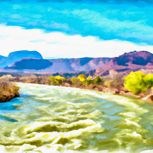
Colorado River Segment 4
This segment is approximately 10 miles long and offers several exciting rapids and obstacles. Some of the most notable rapids include Eye of the Needle, Funnel Falls, and Tombstone. These rapids offer a thrilling experience for experienced paddlers, but can be challenging for novice paddlers.
There are specific regulations in place for this area to ensure the safety of visitors. Personal flotation devices (PFDs) are required for all individuals on the river, and helmets are strongly recommended. Additionally, visitors must follow Leave No Trace principles and pack out all trash.
Plan your run down to the hour
Same weather feed Snoflo's iOS app uses -- updated continuously from NOAA / yr.no. Watch the precipitation column on the meteogram; rain ahead of a run typically lifts flows 12-48 hours later depending on the basin.
Next 5 days, hour by hour
Temperature line with weather symbols on top, snow + rain accumulation as columns, humidity as a dotted line.
5-day forecast table
Every 3 hours, broken out across temperature, snow, rain, humidity, and wind. Each cell is colour-coded relative to the column min/max.
| Time | Condition | Temp (°F) | Snow (in) | Rain (in) | Humidity (%) | Wind (mps) | Wind dir |
|---|---|---|---|---|---|---|---|
| Loading detailed forecast… | |||||||
15-day temperature & precipitation
Daily temperatures, snow, and rain projected over the next two weeks -- the upstream story that drives next week's flows.
Regional streamflow levels
USGS streamgauges around Colorado River Segment 4 -- useful for spotting upstream pulses and gauging which tributary is contributing what.
| Streamgauge | Discharge | View |
|---|---|---|
| Colorado River Near Kremmling | 220 cfs | → |
| Muddy Crk Blw Wolford Mtn Reser. Nr Kremmling | 20 cfs | → |
| Muddy Creek Above Antelope Creek Nr. Kremmling | 73 cfs | → |
| Blue River Below Green Mountain Reservoir | 63 cfs | → |
| Williams Fork Below Williams Fork Reservoir | 18 cfs | → |
| Williams Fork Near Parshall | 75 cfs | → |
Plan a longer trip
The closest boat launches, other paddle runs, and campgrounds so a day on the water can grow into a full weekend.
Boat launches
- Confluence Rec Site Boat Ramp
- Radium Rec Site Boat Ramp
- State Bridge Boat Ramp
- State Bridge River Access
- Co 9 Summit County
- Two Bridges Boat Ramp
Other river runs
Campgrounds
- Pumphouse
- Pumphouse Rec Site Campsite
- Pumphouse Rec. Site Campground
- Ueberfluss Campsite
- Pumphouse Rec Group Campsite A
- Pumphouse Rec Group Campsite B
Whitewater safety
- Check the flow before you run
- Use the linked-gauge card and Regional Flow panel above. Class ratings change with flow -- a Class III at low water can become Class IV+ at high water.
- Know your skill ceiling
- Pick runs comfortably below your ceiling. Cold-water and big-water runs raise the consequences of any mistake.
- Wear the right gear
- Helmet, PFD, drysuit / wetsuit when water is below 60°F. Throw bag, knife, and whistle on your person, not in the boat.
- Scout, set safety, and run with a team
- Scout new rapids on foot, set safety with throw bags above the consequence pool, and run with at least one other competent paddler.
- Respect the river
- Strainers, undercuts, low-head dams, and wood can kill at any class rating. When in doubt, portage.
Set push alerts in the Snoflo app
Save Colorado River Segment 4 as a favorite, set a discharge threshold (e.g. "alert me when flow hits 600 cfs"), and the iOS app pushes the moment the linked gauge crosses.
About Colorado River Segment 4
What's the optimal flow for Colorado River Segment 4?
The optimal flow depends on the section and the craft. Check the Run Details panel for the linked gauge and current status.
How fresh is the cfs reading on this page?
The linked USGS streamgauge reports continuously (every 15 minutes); Snoflo refreshes throughout the day. Hover the streamflow sparkline to read individual datapoints.
What's the whitewater class?
See the Run Details panel for the class rating Snoflo tracks for this run. Class ratings change with flow -- a Class III at low water can become Class IV in high water.
Where do I put in / take out?
Tap Directions in the hero above to open driving directions to the put-in. For shuttle planning, check the Nearby Boat Launches panel and the river run operator's site.
Can I get alerts when flows hit the optimal range?
Yes -- alerts are managed in the Snoflo iOS app. Favorite this run, set a discharge threshold, and you'll get a push the moment the gauge crosses.
Other runs near here
Snoflo-tracked paddle runs within driving distance of Colorado River Segment 4.