2026-02-20T11:00:00-05:00
* WHAT...Visibility one quarter mile or less in dense fog. * WHERE...Coastal Bay, Coastal Dixie, Coastal Franklin, Coastal Jefferson, Coastal Taylor, Coastal Wakulla, Coastal Gulf, and South Walton Counties. * WHEN...Until 11 AM EST /10 AM CST/ Friday. * IMPACTS...Low visibility could make driving conditions hazardous.
Summary
The ideal streamflow range for this river is between 150 and 300 cubic feet per second (cfs). The river is rated as a Class II-III, which means it has moderate rapids and waves with some obstacles that may require maneuvering. The segment mileage from the Forest Service Property Boundary to St. Marks Wildlife Refuge Boundary is approximately 6.5 miles.
The Whitewater River has several rapids and obstacles that add to the adventurous experience. Some of the notable rapids include the Eagle's Nest Rapid, Triple Drop Rapid, and the Rooster Tail Rapid. Kayakers and canoeists are required to wear a personal flotation device (PFD) at all times and must follow specific regulations to preserve the river's natural resources.
The St. Marks Wildlife Refuge is an important conservation area that is home to several wildlife species, including manatees, alligators, and migratory birds. As such, visitors are required to follow specific regulations when accessing the river. For instance, launching motorboats or personal watercraft is not allowed, and visitors are not allowed to enter closed areas or disturb wildlife habitat.
In conclusion, the Whitewater River Run in Florida is a beautiful and challenging destination for kayakers and canoeists. With ideal streamflow, moderate rapids, and notable obstacles, the river offers an unforgettable experience. Visitors must follow specific regulations and respect the natural resources to preserve the river's beauty and wildlife habitat.
°F
°F
mph
Wind
%
Humidity
15-Day Weather Outlook
River Run Details
| Last Updated | 2025-07-02 |
| River Levels | 16 cfs (13.73 ft) |
| Percent of Normal | 52% |
| Status | |
| Class Level | ii-iii |
| Elevation | ft |
| Streamflow Discharge | cfs |
| Gauge Height | ft |
| Reporting Streamgage | USGS 02330400 |
5-Day Hourly Forecast Detail
Nearby Streamflow Levels
 Sopchoppy River Nr Sopchoppy
|
23cfs |
 Lost Creek At Arran Fla
|
3cfs |
 Ochlockonee River Nr Smith Creek
|
813cfs |
 Wakulla River Near Crawfordville
|
528cfs |
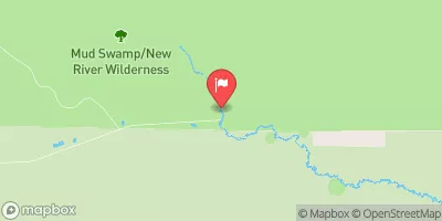 New River Nr Sumatra Fla
|
233cfs |
 St. Marks River Near Newport
|
286cfs |
Area Campgrounds
| Location | Reservations | Toilets |
|---|---|---|
 Ochlockonee River State Park
|
||
 Myron B. Hodge City Park
|
||
 Woodlake Camp
|
||
 Bent Sapling Camp
|
||
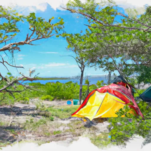 Bradwell Island Camp
|
||
 Hitchcock Lake
|


 Ochlockonee River State Park
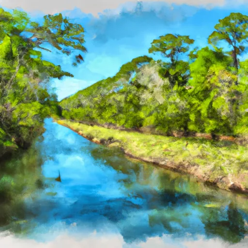 Forest Service Property Bounday To St. Marks Wildlife Refuge Boundary
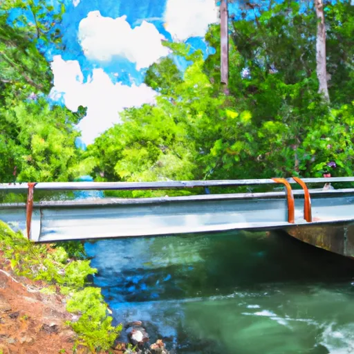 Tirce Creek Bridge (Monkey Creek) To Forest Service Property Boundary In Sec 13
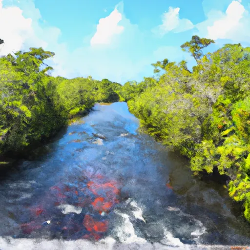 Bradwell Bay Wilderness (Northern Boundary) To Bradwell Bay Wilderness Boundary At Trice Bridge On Fr 329
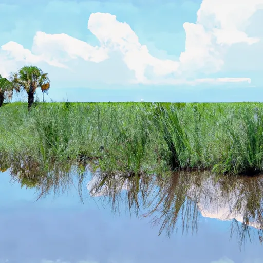 St. Marks National Wildlife Refuge
 Wilderness Bradwell Bay
 Womack Creek Unit - Tate's Hell Wildlife Management Area
 Bald Point State Park