Summary
With class III-IV rapids, paddlers will encounter obstacles such as boulder gardens and tight channels. The best time to float this section is between May and June with a recommended flow of 1,200-1,500 cfs. This 14-mile stretch of river offers a secluded and rugged experience, with limited access points and a permit system in place. Paddlers should be experienced and prepared for a physically demanding trip.
°F
°F
mph
Wind
%
Humidity
15-Day Weather Outlook
River Run Details
| Last Updated | 2023-06-13 |
| River Levels | 1030 cfs (2.98 ft) |
| Percent of Normal | 141% |
| Optimal Range | 600-2000 cfs |
| Status | Too Low |
| Class Level | III to IV- |
| Elevation | 6,081 ft |
| Run Length | 14.0 Mi |
| Gradient | 50 FPM |
| Streamflow Discharge | 36.7 cfs |
| Gauge Height | 1.2 ft |
| Reporting Streamgage | USGS 09132500 |


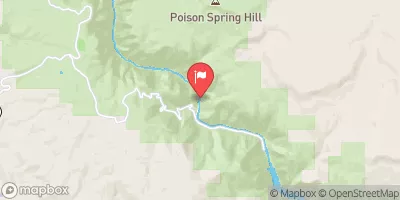
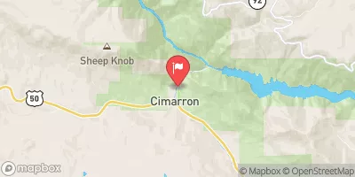
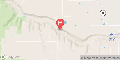
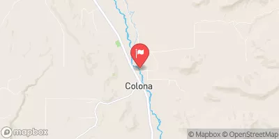
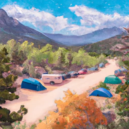 East Portal Campground
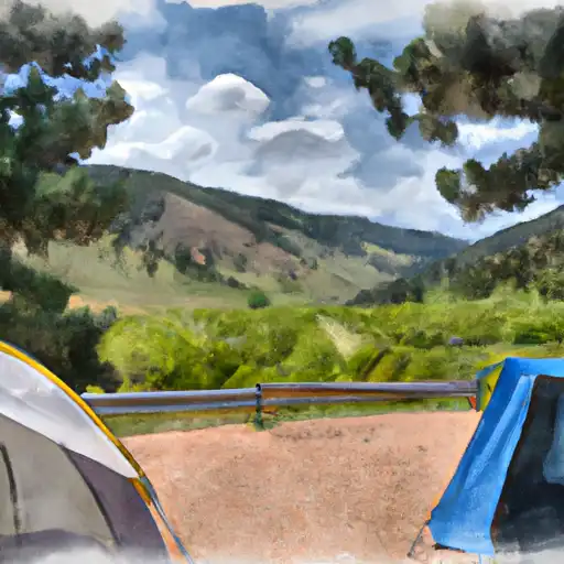 East Portal - Curecanti National Rec Area
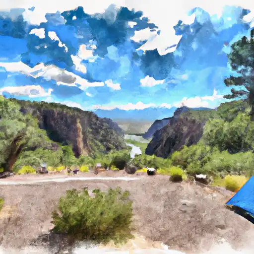 South Rim - Gunnison National Park
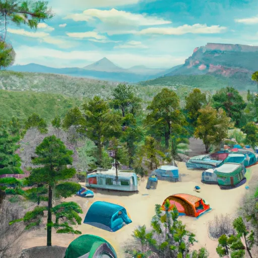 South Rim Campground
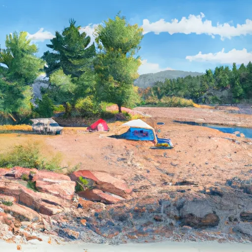 Crystal Creek Boat-In Campsite
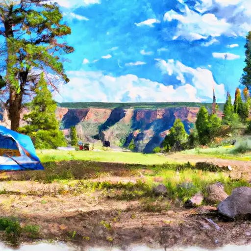 North Rim - Gunnison National Park
 Gunnison Gorge
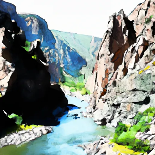 The Southern Boundary Of The Black Canyon Gunnison National Monument
To The Painted Wall
 The Painted Wall
To The Black Canyon Gunnison National Monument-Gunnison Gorge Wilderness Boundary