Summary
The ideal streamflow range for this run is between 300 and 1,500 cubic feet per second (cfs), with the best conditions occurring in late spring and early summer. The class rating for this run is class III, with a few class IV rapids depending on the water level.
The segment mileage for this run is approximately 8 miles, starting at the West Fork Big Wood River and ending at the confluence with the Big Wood River. Along the way, paddlers will encounter several notable rapids and obstacles, including "The Narrows," a tight, technical section of the river, and "Sunbeam Dam," a large, dangerous diversion dam that must be portaged.
Specific regulations to the area include the requirement of a permit for commercial outfitters, a prohibition on camping within 200 feet of the river, and a limit on the number of visitors allowed in the area at any given time. It is important for paddlers to also be aware of the potential for high water flows and to always wear appropriate safety gear, including a helmet and personal flotation device.
°F
°F
mph
Wind
%
Humidity
15-Day Weather Outlook
River Run Details
| Last Updated | 2026-02-07 |
| River Levels | 432 cfs (6.69 ft) |
| Percent of Normal | 119% |
| Status | |
| Class Level | iii-iv |
| Elevation | ft |
| Streamflow Discharge | cfs |
| Gauge Height | ft |
| Reporting Streamgage | USGS 13135520 |
5-Day Hourly Forecast Detail
Nearby Streamflow Levels
Area Campgrounds
| Location | Reservations | Toilets |
|---|---|---|
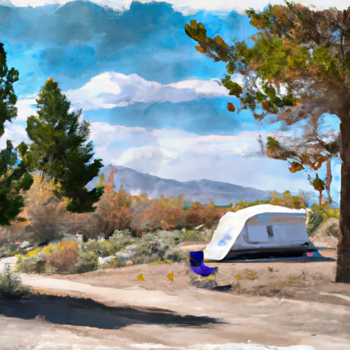 Murdock
|
||
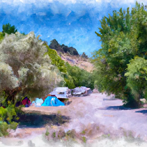 Murdock Campground
|
||
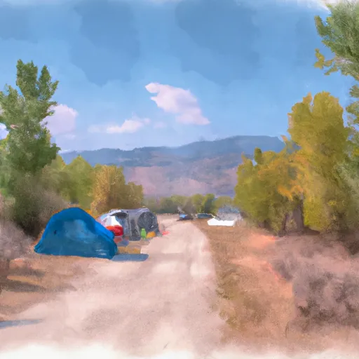 Wood River campground
|
||
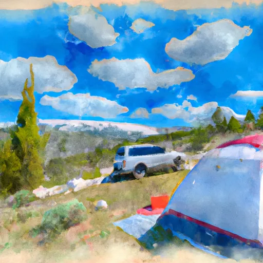 Caribou
|
||
 Easley
|
||
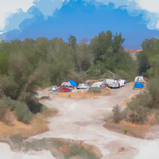 Easley Campground (Wood River Valley Area)
|
River Runs
-
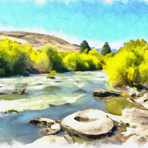 West Fork Big Wood River To Confluence With Big Wood River
-
 Headwaters To Sawtooth Nf Boundary
-
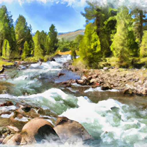 Headwaters To Confluence With North Fork Big Wood River
-
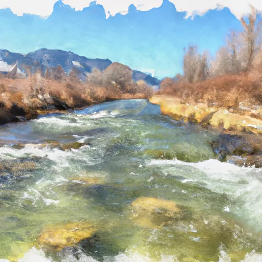 Headwaters To Confluence With West Fork Big Wood River
-
 Headwaters To Confluence With Corral Creek
-
 Headwaters To Point Where Creek Turns Ne, Near Trail Creek Summit





 Guy Coles Skate Park
 Knob Hill Natural Area
 Little Park
 Ketchum Bike Park
 Lucy Loken Park