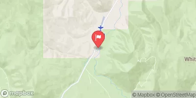
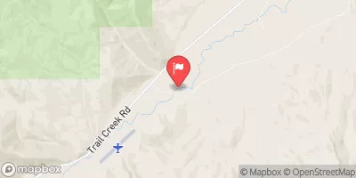
Summary
The ideal streamflow range for this run is between 200-500 cfs, which can vary depending on the season and precipitation levels.
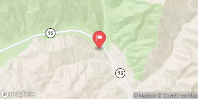
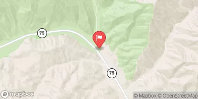
This river run is rated Class III-IV, offering a mix of challenging rapids and calm stretches. The segment mileage for this run is approximately 5 miles, making for a short but exciting trip.
Some specific rapids and obstacles on this run include The Maze, a tight and technical section that requires precise maneuvering, as well as The Slide, a long and steep drop that can be quite exhilarating.
It's important to note that specific regulations apply to this area, including a requirement for all boaters to wear a personal floatation device and to carry a whistle and a proper watercraft permit. Additionally, boaters must respect private property rights and avoid any littering or damage to the natural environment.
°F
°F
mph
Wind
%
Humidity
15-Day Weather Outlook
River Run Details
| Last Updated | 2026-02-07 |
| River Levels | 645 cfs (6.92 ft) |
| Percent of Normal | 111% |
| Status | |
| Class Level | iii-iv |
| Elevation | ft |
| Streamflow Discharge | cfs |
| Gauge Height | ft |
| Reporting Streamgage | USGS 13135500 |
5-Day Hourly Forecast Detail
Nearby Streamflow Levels
Area Campgrounds
| Location | Reservations | Toilets |
|---|---|---|
 Caribou
|
||
 Murdock Campground
|
||
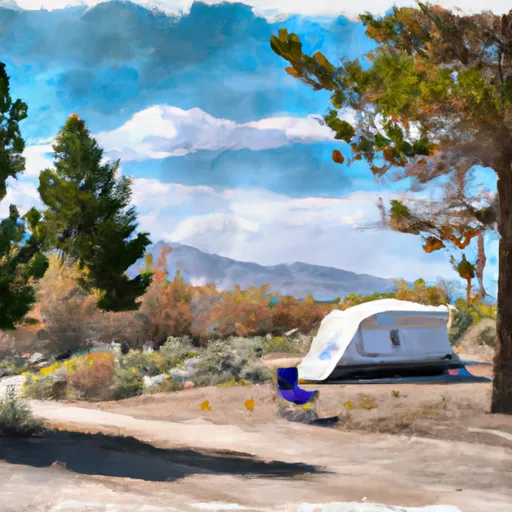 Murdock
|
||
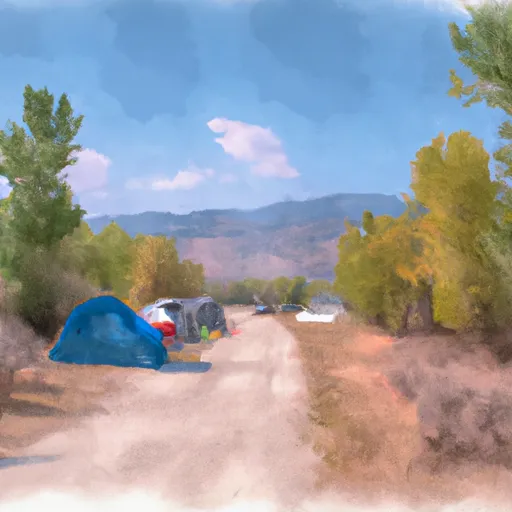 Wood River campground
|
||
 Easley
|
||
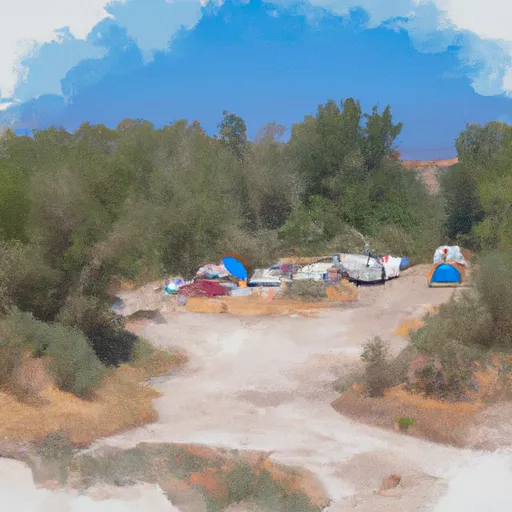 Easley Campground (Wood River Valley Area)
|
River Runs
-
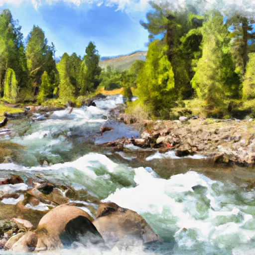
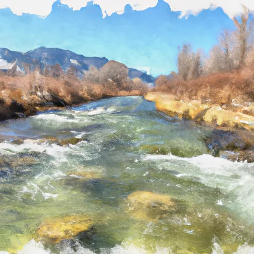 Headwaters To Confluence With West Fork Big Wood River
-
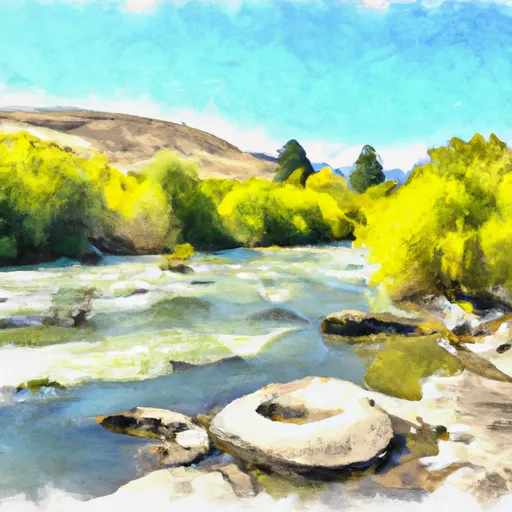
 Headwaters To Confluence With North Fork Big Wood River
-
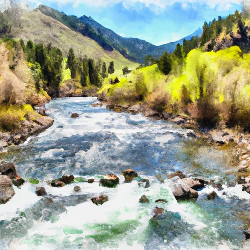
 West Fork Big Wood River To Confluence With Big Wood River
-
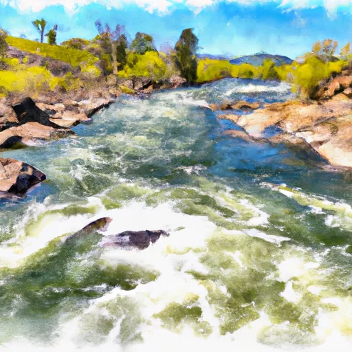
 Headwaters To Confluence With East Fork Salmon River
-
 Confluence With South Fork East Fork Salmon To Confluence With Unnamed Creek In Section 6


