Summary
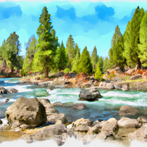
The ideal streamflow range for this section of the river is between 1,000 and 4,000 cubic feet per second (cfs). The class rating of the run is Class III to Class IV, with some sections reaching Class V during high water.
The segment mileage of this run is approximately 16 miles, with several challenging rapids and obstacles, including House Rock, Triple Steps, and Grand Finale. The House Rock rapid is a Class IV rapid that requires precise maneuvering and can be dangerous at high water flows. The Triple Steps rapid is a series of three drops that require careful navigation through tight channels. The Grand Finale is a Class V rapid that is the most challenging section of the run and requires expert-level skills to navigate.
Specific regulations to the area include a permit requirement for overnight camping and a strict pack-in, pack-out policy for all trash and waste. Visitors are also required to follow Leave No Trace principles and respect designated wilderness areas.
°F
°F
mph
Wind
%
Humidity
15-Day Weather Outlook
River Run Details
| Last Updated | 2026-02-07 |
| River Levels | 206 cfs (3.24 ft) |
| Percent of Normal | 11% |
| Status | |
| Class Level | iii-iv |
| Elevation | ft |
| Streamflow Discharge | cfs |
| Gauge Height | ft |
| Reporting Streamgage | USGS 13236500 |
5-Day Hourly Forecast Detail
Nearby Streamflow Levels
Area Campgrounds
| Location | Reservations | Toilets |
|---|---|---|
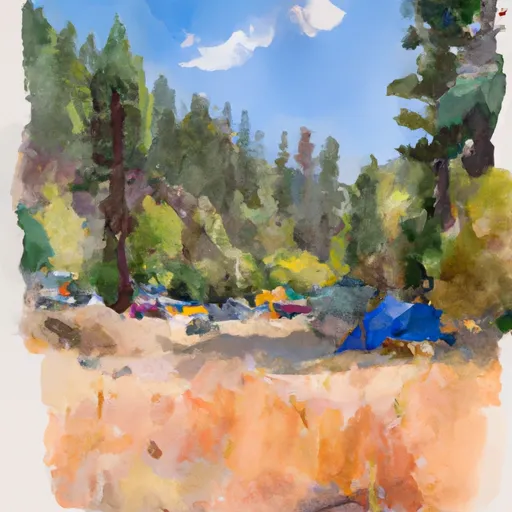 Bear Valley Campground
|
||
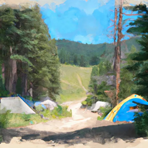 Bear Valley
|
||
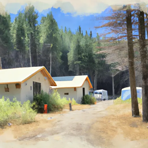 Elk Creek Guard Station - Rental Cabins
|
||
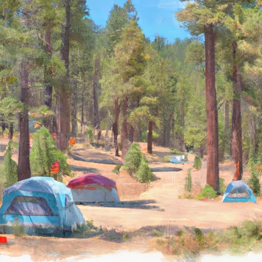 Fir Creek Campground
|
||
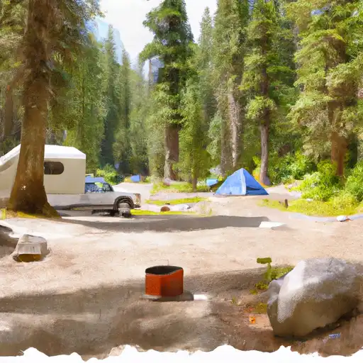 Fir Creek
|
||
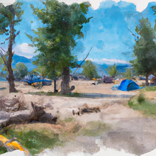 Banner Creek Campground
|


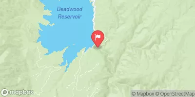
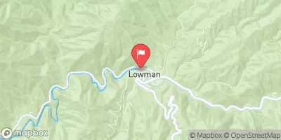
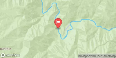
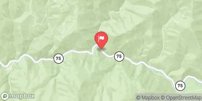
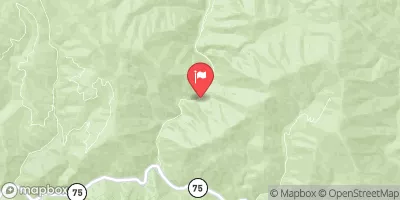
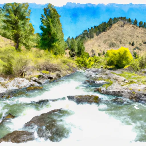 Confluence Bear Valley Creek To Fcronr Wilderness Boundary
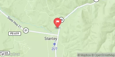
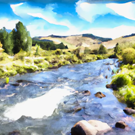 Headwaters To Confluence With Elk Creek
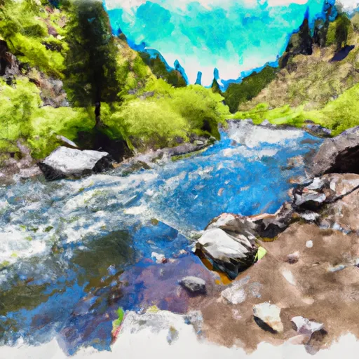 Elk Creek To Fir Creek Campground
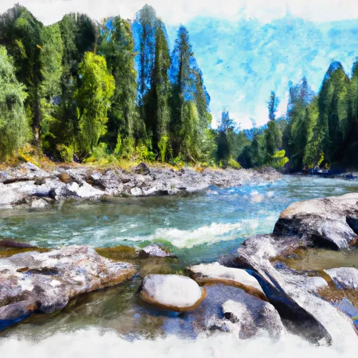 Fcronr Wilderness Boundary To Confluence With North Fork Elk Creek
 Fir Creek Campground To Boise Nf Boundary