Summary
The ideal streamflow range for this section of the river is between 800 and 2,000 cubic feet per second (cfs), according to the Idaho Whitewater Association. The class rating for this section is Class III-IV, offering a challenging run for experienced paddlers.
The segment mileage of this section of the river is approximately 11.2 miles, with several notable rapids and obstacles, including Devil's Slide, a steep, narrow, and technical rapid that requires precise maneuvering. Other obstacles include Big Kahuna, a large wave, and The Chute, a narrow and technical section that requires careful navigation.
Specific regulations for the area include a permit system for commercial outfitters, as well as restrictions on camping and campfires. The use of glass containers is also prohibited on the river. It is recommended that all paddlers wear proper safety equipment, including helmets and life jackets.
In summary, the Whitewater River Run from Fcronr Wilderness Boundary to Confluence With North Fork Elk Creek in Idaho offers a challenging and scenic run for experienced whitewater paddlers. With a Class III-IV rating, ideal streamflow range of 800-2,000 cfs, and notable rapids and obstacles, this section of the river requires careful navigation and proper safety equipment. Additionally, specific regulations apply to the area, including permit requirements, camping restrictions, and a ban on glass containers.
°F
°F
mph
Wind
%
Humidity
15-Day Weather Outlook
River Run Details
| Last Updated | 2026-02-07 |
| River Levels | 206 cfs (3.24 ft) |
| Percent of Normal | 11% |
| Status | |
| Class Level | iii-iv |
| Elevation | ft |
| Streamflow Discharge | cfs |
| Gauge Height | ft |
| Reporting Streamgage | USGS 13236500 |
5-Day Hourly Forecast Detail
Nearby Streamflow Levels
Area Campgrounds
| Location | Reservations | Toilets |
|---|---|---|
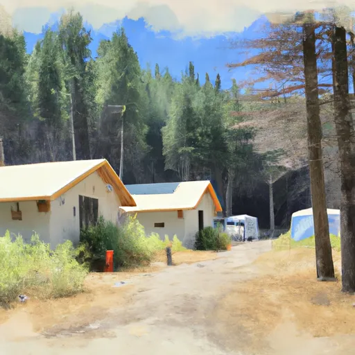 Elk Creek Guard Station - Rental Cabins
|
||
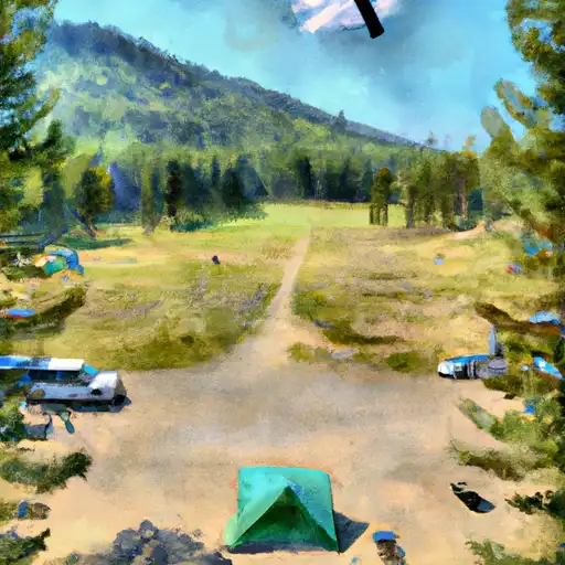 Deer Flat
|
||
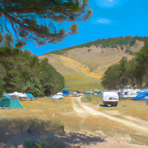 Deer Flat Campground
|
||
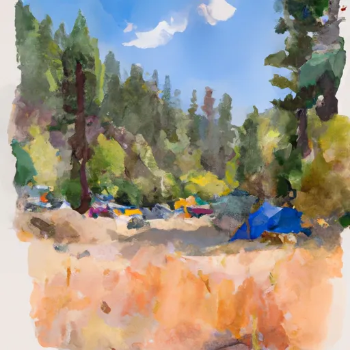 Bear Valley Campground
|
||
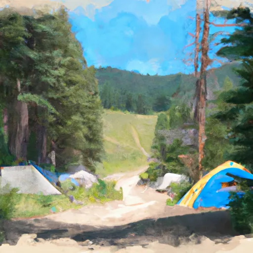 Bear Valley
|
||
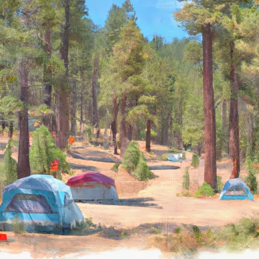 Fir Creek Campground
|


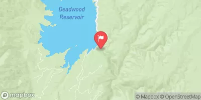
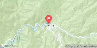
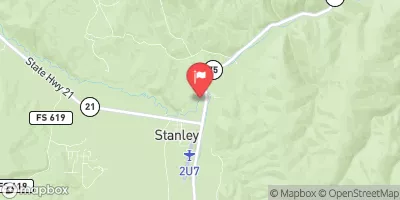
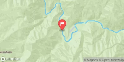
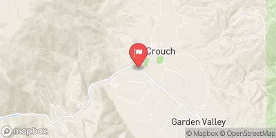
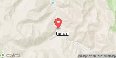
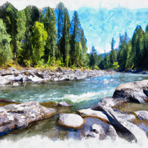 Fcronr Wilderness Boundary To Confluence With North Fork Elk Creek
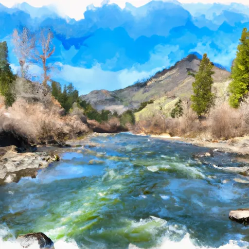 Headwaters To Confluence With Elk Creek
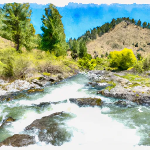 Confluence Bear Valley Creek To Fcronr Wilderness Boundary
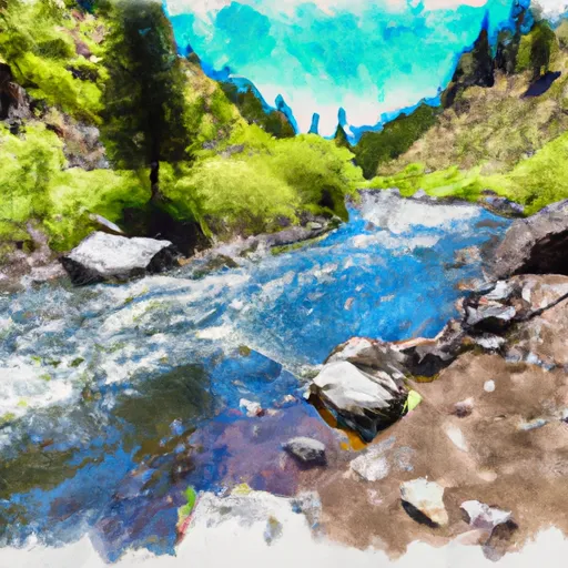 Elk Creek To Fir Creek Campground
 Headwaters To Deadwood Reservoir