Summary
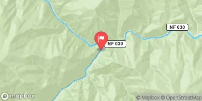
The Whitewater River Run from Headwaters to Confluence with Pole Creek in Idaho is a thrilling adventure for experienced rafters. The ideal streamflow range for this run is between 800 and 1,500 cfs, which typically occurs during the spring and early summer months. The segment mileage for this run is approximately 11 miles, and it is rated as a Class III-IV rapid, with some sections reaching Class V.
Some of the specific river rapids and obstacles to watch out for on this run include "Boxcar" and "Little Niagara," which are Class V rapids that require advanced technical skills to navigate. "Little Falls," "Corner Pocket," and "Chicken Hawk" are also challenging Class IV rapids that demand precision maneuvering. Rafters should be aware of rock gardens and boulder fields throughout the run, which can create dangerous obstructions.
There are specific regulations in place for this area that rafters should be aware of. The use of motorized watercraft is prohibited on this section of the river. Additionally, all boaters must wear a personal flotation device (PFD) at all times. The river is also located on public lands, so visitors must follow Leave No Trace principles and pack out all trash.
In summary, the Whitewater River Run from Headwaters to Confluence with Pole Creek in Idaho is a challenging and exhilarating adventure for experienced rafters. With its Class III-IV rapids and technical obstacles, this run demands skill and precision from those who attempt it. Rafters should be prepared for a physically demanding trip and should always follow regulations and best practices to protect this beautiful and fragile ecosystem.
°F
°F
mph
Wind
%
Humidity
15-Day Weather Outlook
River Run Details
| Last Updated | 2026-02-07 |
| River Levels | 4320 cfs (4.34 ft) |
| Percent of Normal | 110% |
| Status | |
| Class Level | iii-iv |
| Elevation | ft |
| Streamflow Discharge | cfs |
| Gauge Height | ft |
| Reporting Streamgage | USGS 13309220 |
5-Day Hourly Forecast Detail
Nearby Streamflow Levels
Area Campgrounds
| Location | Reservations | Toilets |
|---|---|---|
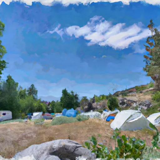 Lost Spring Campground
|
||
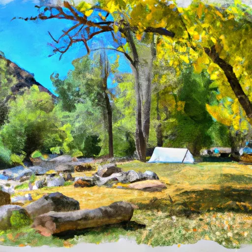 Camas Creek Campsite
|
||
 Tiny Tappan Campsite
|
||
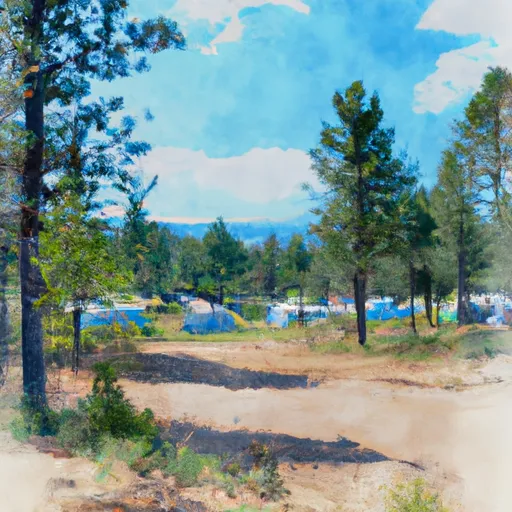 Cub Creek Campsite
|
||
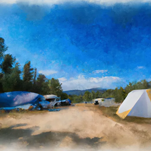 Mahoney Complex
|
||
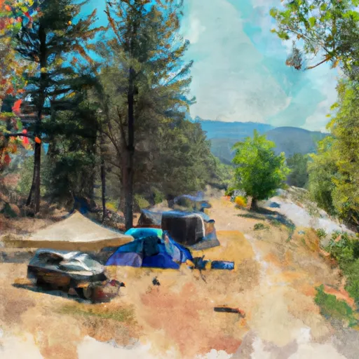 Tappan Falls Campsite
|


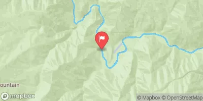
 Headwaters To Confluence With Pole Creek
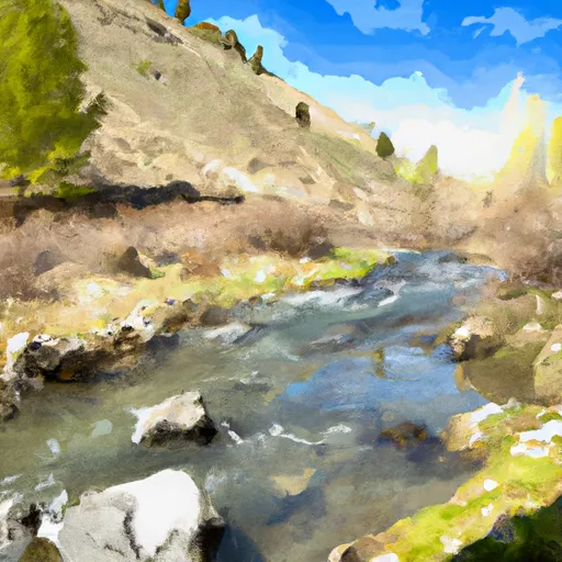 Headwaters To Hammer Creek
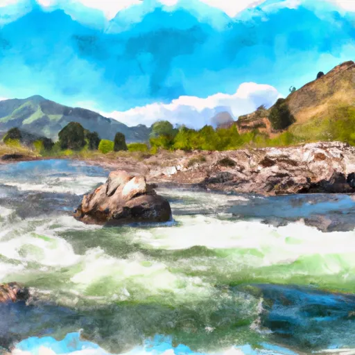 Hammer Creek To Confluence With Middle Fork Salmon River
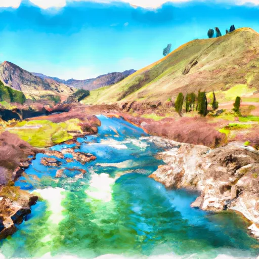 Phillips Creek Transfer Camp To Confluence With Middle Fork Salmon River
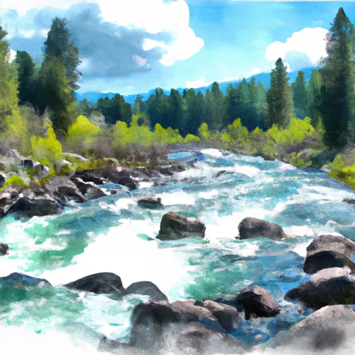 Headwaters To Confluence With Loon Creek