Summary
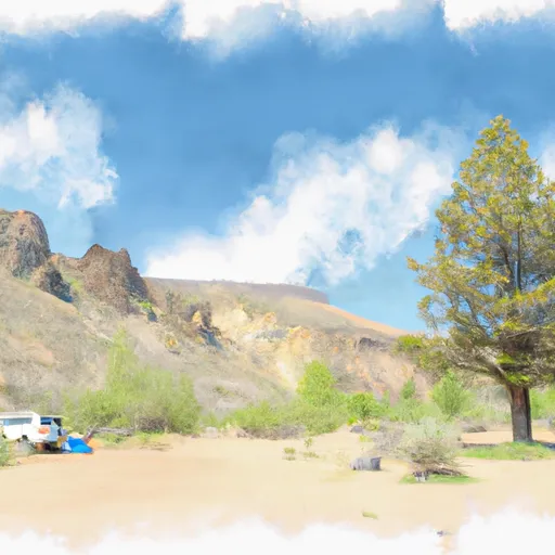
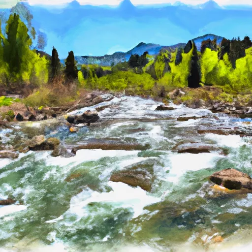
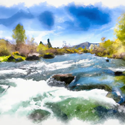
The ideal streamflow range for this run is between 500-3000 cfs, which offers challenging rapids while still allowing for safe navigation. The segment mileage for this run is approximately 4 miles, with a class rating of III-IV. This class rating means that the rapids in this section of the river are moderate to difficult and require experienced paddlers with good control and maneuverability.
Some of the specific river rapids/obstacles that paddlers will encounter on this run include Pinball, the Corkscrew, and Box Car. Pinball is a series of large boulders that create a fast and technical rapid. The Corkscrew is a steep and twisting rapid that requires precise maneuvering. Box Car is a large boulder that creates a powerful hydraulic, which can be difficult to navigate.
Specific regulations to the area include a requirement for all paddlers to wear a personal flotation device (PFD) at all times and to have a whistle attached to their PFD. It is also recommended that paddlers have a helmet, appropriate footwear, and a drysuit or wetsuit for cold water conditions.
In conclusion, the Whitewater River Run from Headwaters to Confluence with Alta Creek in Idaho is a thrilling adventure for experienced paddlers. With an ideal streamflow range of 500-3000 cfs, a class rating of III-IV, and exciting rapids such as Pinball, the Corkscrew, and Box Car, this run offers a challenging and unforgettable experience. However, paddlers should be aware of specific regulations and safety measures to ensure a safe and enjoyable trip.
°F
°F
mph
Wind
%
Humidity
15-Day Weather Outlook
River Run Details
| Last Updated | 2026-02-07 |
| River Levels | 3320 cfs (4.82 ft) |
| Percent of Normal | 135% |
| Status | |
| Class Level | None |
| Elevation | ft |
| Streamflow Discharge | cfs |
| Gauge Height | ft |
| Reporting Streamgage | USGS 13186000 |
5-Day Hourly Forecast Detail
Nearby Streamflow Levels
Area Campgrounds
| Location | Reservations | Toilets |
|---|---|---|
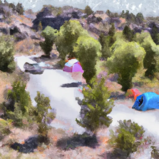 Chaparral
|
||
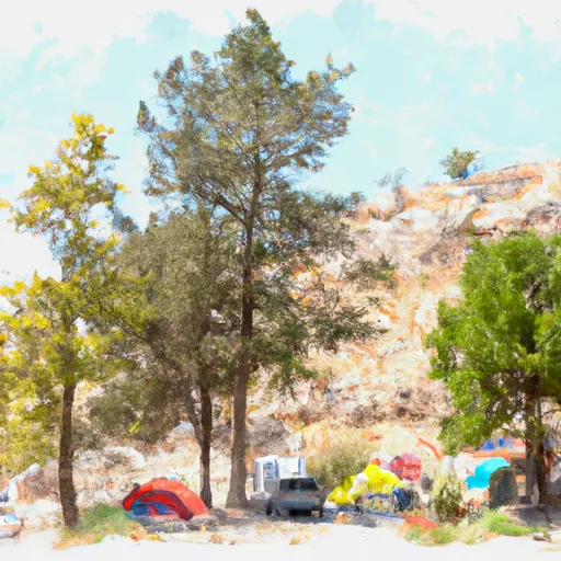 Chaparral Campground
|
||
 Abbot
Abbot
|
||
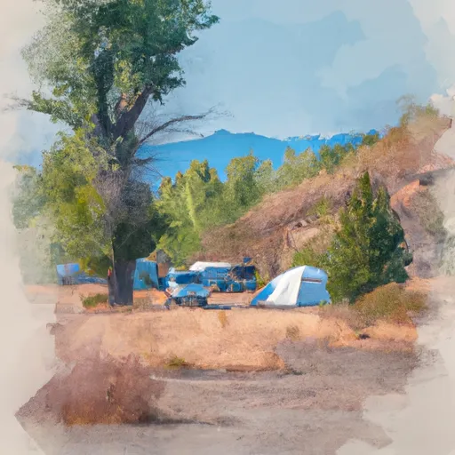 Bird Creek Campground
|
||
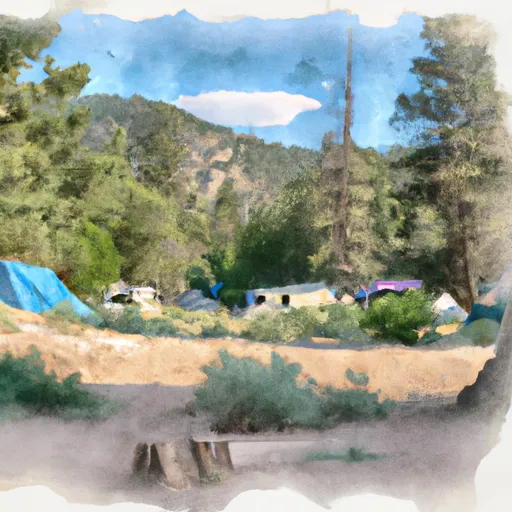 Abbot Campground
|
||
 Bird Creek
|


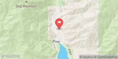
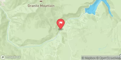
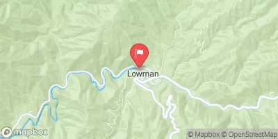
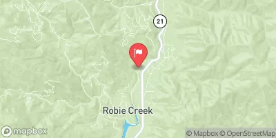
 Headwaters To Confluence With Alta Creek
 Alta Creek To Confluence With Feather River
 Headwaters To Sawtooth Nf Boundary
 Headwaters To Wilderness Boundary