Summary
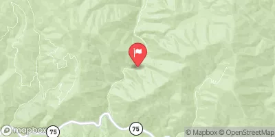
The ideal streamflow range for this run is between 1,000 and 5,000 cfs, although it can be run at higher flows with appropriate experience and equipment. The class rating ranges from Class II to Class IV depending on the segment of the river.
The segment mileage for this run is approximately 18 miles, with several notable rapids and obstacles throughout the course. Notable rapids include Tongue, The Chute, and Hell's Half Mile. The river also features several large boulders and narrow channels that require skillful navigation.
It is important to note that this run is located within the Payette National Forest and is subject to specific regulations. These regulations include a permit requirement for commercial outfitters, a group size limit of 8 people per group, and a mandatory safety briefing before beginning the run. Additionally, all participants must wear a personal flotation device and follow Leave No Trace principles to protect the natural environment.
°F
°F
mph
Wind
%
Humidity
15-Day Weather Outlook
River Run Details
| Last Updated | 2026-01-26 |
| River Levels | 595 cfs (2.09 ft) |
| Percent of Normal | 122% |
| Status | |
| Class Level | ii-iv |
| Elevation | ft |
| Streamflow Discharge | cfs |
| Gauge Height | ft |
| Reporting Streamgage | USGS 13295000 |
5-Day Hourly Forecast Detail
Nearby Streamflow Levels
Area Campgrounds
| Location | Reservations | Toilets |
|---|---|---|
 Sawtooth National Forest - Grandjean Campground
|
||
 Grandjean
|
||
 Grandjean Campground
|
||
 Bonneville Campground - reserve
|
||
 Bonneville Campground
|
||
 Bonneville
|


 Headwaters To Confluence With South Fork Payette River
 Headwaters To Confluence With Trail Creek
 Trail Creek To Sawtooth Nf Boundary
 Headwaters To Lady Face Falls
 Sawtooth Nra To Confluence With Wolf Creek