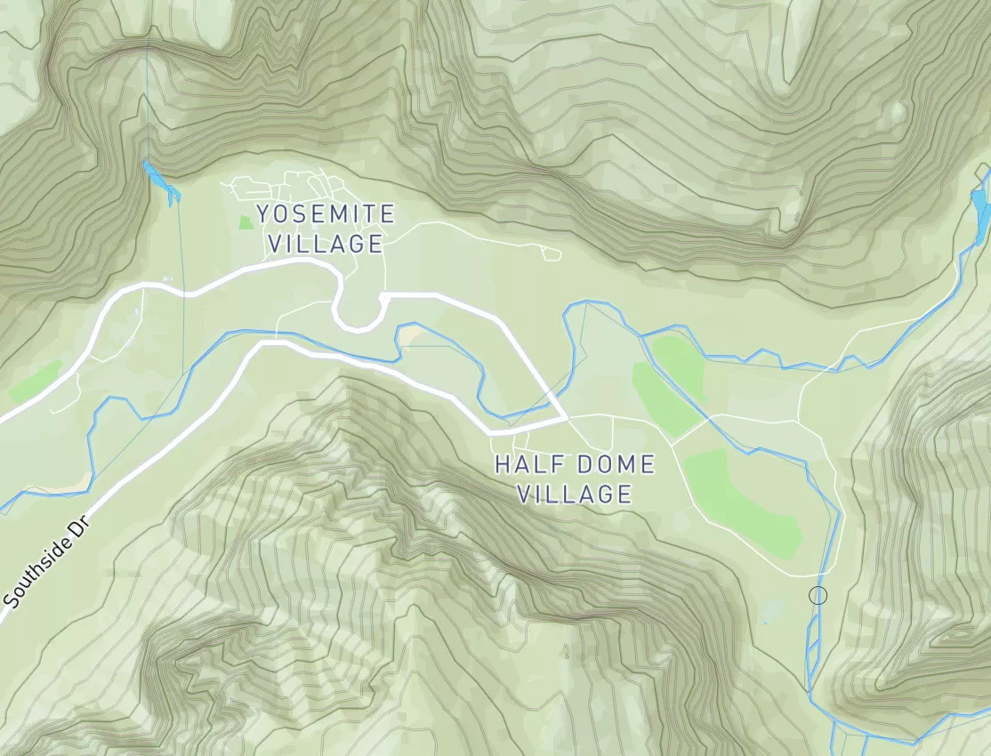
Summary
Regional Streamflow Levels
15-Day Long Term Forecast
River Run Details
| Last Updated | 2026-04-25 |
| River Levels | 505 cfs (3.82 ft) |
| Percent of Normal | 115% |
| Status | |
| Class Level | None |
| Elevation | ft |
| Streamflow Discharge | cfs |
| Gauge Height | ft |
| Reporting Streamgage | USGS 13120000 |
5-Day Hourly Forecast Detail
Area Campgrounds
| Location | Reservations | Toilets |
|---|---|---|
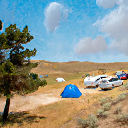 Wildhorse Campground
|
||
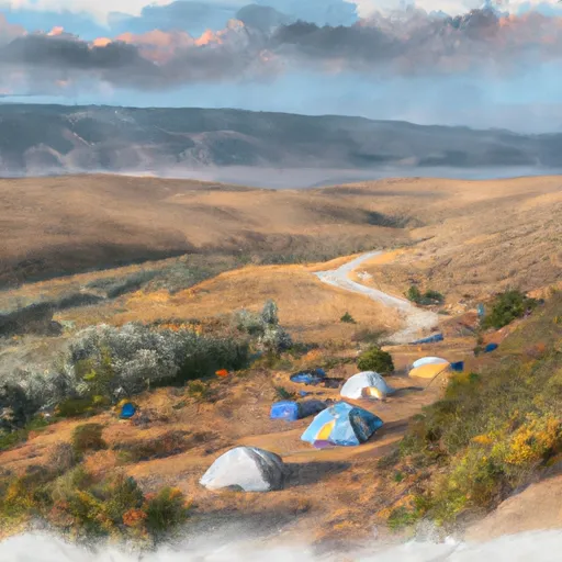 Wildhorse
|
||
 Phi Kappa Campground
|
||
 Phi Kappa
|
||
 Garden Creek Campground
|
||
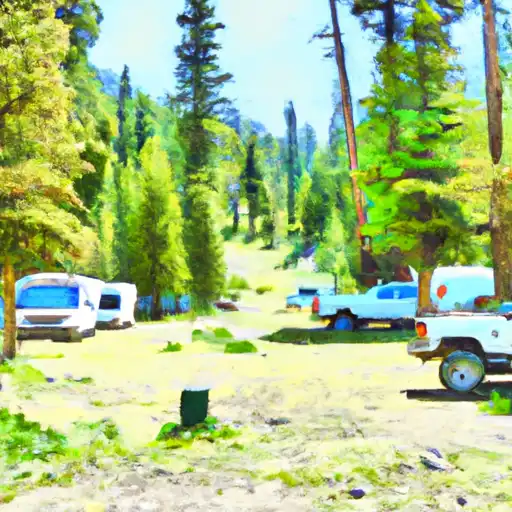 Garden Creek
|

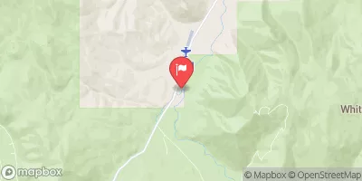

 Headwaters To Confluence With Wildhorse Creek
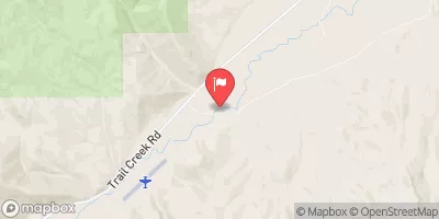
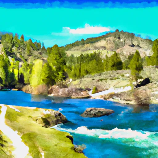 Arrowhead Lake To Wildhorse Campground
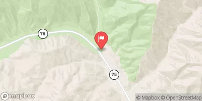
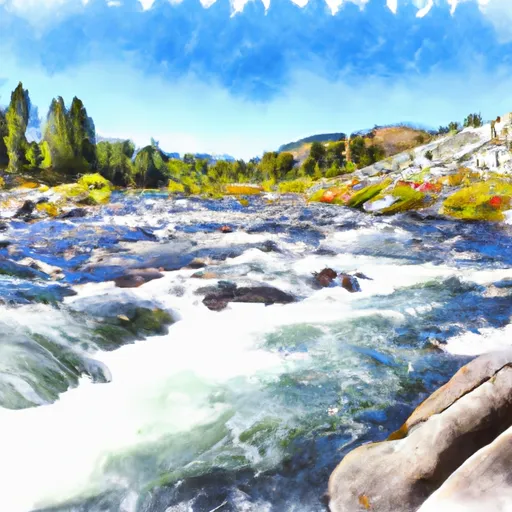 Kane Lake To Confluence With Summit Creek
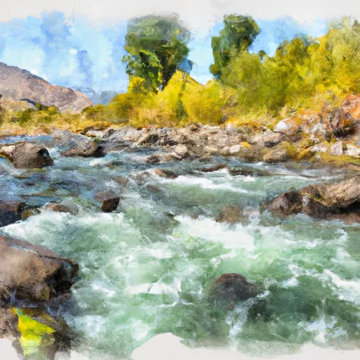 East Fork Big Lost River
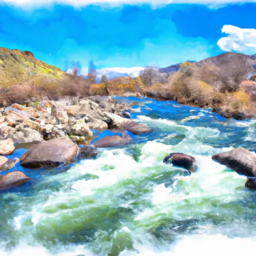 Big Lost River
 Headwaters To Nf Boundary
 Continue with Snoflo Premium