Summary
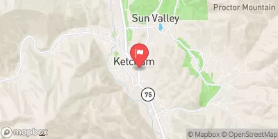
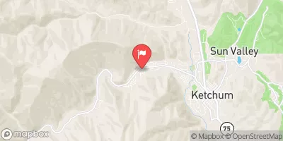
The ideal streamflow range for this river is between 200-500 cubic feet per second (cfs) during the summer months. The river is classified as a Class III-IV, making it suitable for intermediate to advanced paddlers. The segment mileage for the river run is approximately 9.5 miles, with a put-in at the East Fork Bridge and a take-out at the confluence with the Big Lost River.
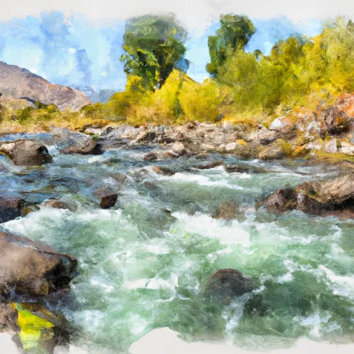
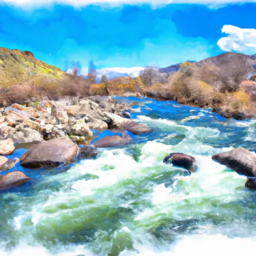
Some of the notable rapids and obstacles on the East Fork Big Lost River include The Slide, a Class IV rapid with a steep drop and a tight left turn; The Hole, a Class III rapid with a large hydraulic that can be tricky to navigate; and The Squeeze, a narrow section of the river with a rock formation that creates a challenging maneuver for paddlers.
There are specific regulations to be aware of when paddling on the East Fork Big Lost River. The area is managed by the Bureau of Land Management, and a permit is required for overnight camping. Additionally, boaters are required to carry a personal flotation device (PFD) and a whistle, and motorized watercraft are not allowed on the river.
°F
°F
mph
Wind
%
Humidity
15-Day Weather Outlook
River Run Details
| Last Updated | 2025-04-21 |
| River Levels | 505 cfs (3.82 ft) |
| Percent of Normal | 107% |
| Status | |
| Class Level | iii-iv |
| Elevation | ft |
| Streamflow Discharge | cfs |
| Gauge Height | ft |
| Reporting Streamgage | USGS 13120000 |
5-Day Hourly Forecast Detail
Nearby Streamflow Levels
Area Campgrounds
| Location | Reservations | Toilets |
|---|---|---|
 Garden Creek Campground
|
||
 Garden Creek
|
||
 Phi Kappa Campground
|
||
 Phi Kappa
|
||
 Wildhorse Campground
|
||
 Wildhorse
|


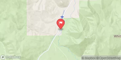
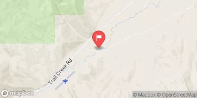
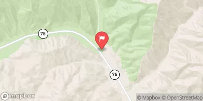
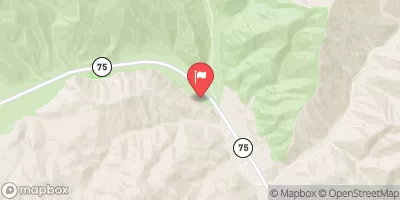
 East Fork Big Lost River
 Big Lost River
 Headwaters To Nf Boundary
 Kane Lake To Confluence With Summit Creek
 Headwaters To Confluence With Wildhorse Creek
 Arrowhead Lake To Wildhorse Campground