Summary
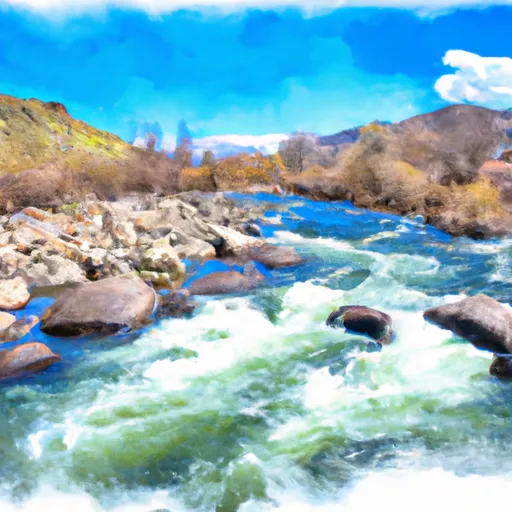
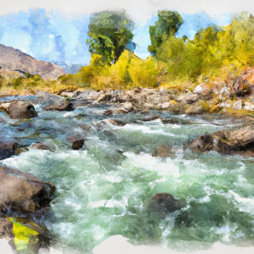
The ideal streamflow range for the river is between 500 and 1,500 cubic feet per second (cfs), with the best flow occurring in the late spring and early summer. The river is classified as a class III/IV rapids, with some sections reaching class V in difficulty. The run is approximately 14 miles long, with a drop of 1,500 feet in elevation.
Some notable rapids and obstacles on the Big Lost River include the "Entrance Rapid," which is a class IV drop that signals the start of the run, and "Highway to Hell," a class V rapid that is technical and challenging. Other notable rapids include "Boneyard," "Sonic Boom," and "Tumbleweed."
Specific regulations for the Big Lost River include the requirement of personal floatation devices (PFDs) for all participants and the prohibition of alcoholic beverages on the river. Additionally, there are designated put-in and take-out locations for the river, and access to the river is limited to designated areas to minimize environmental impact.
°F
°F
mph
Wind
%
Humidity
15-Day Weather Outlook
River Run Details
| Last Updated | 2025-04-21 |
| River Levels | 505 cfs (3.82 ft) |
| Percent of Normal | 107% |
| Status | |
| Class Level | iii/iv-v |
| Elevation | ft |
| Streamflow Discharge | cfs |
| Gauge Height | ft |
| Reporting Streamgage | USGS 13120000 |
5-Day Hourly Forecast Detail
Nearby Streamflow Levels
Area Campgrounds
| Location | Reservations | Toilets |
|---|---|---|
 Garden Creek Campground
|
||
 Garden Creek
|
||
 Phi Kappa Campground
|
||
 Phi Kappa
|
||
 Wildhorse Campground
|
||
 Wildhorse
|


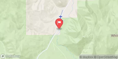
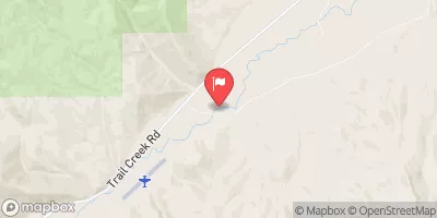
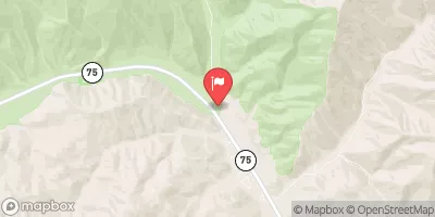
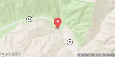
 Big Lost River
 East Fork Big Lost River
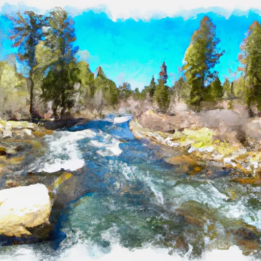 Headwaters To Nf Boundary
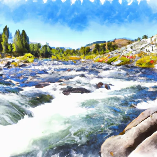 Kane Lake To Confluence With Summit Creek
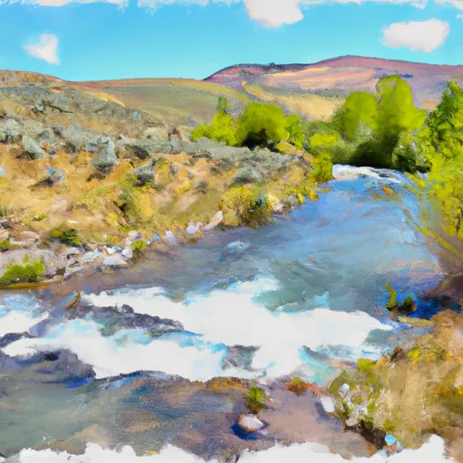 Headwaters To Confluence With Wildhorse Creek
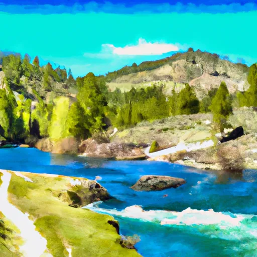 Arrowhead Lake To Wildhorse Campground