Summary
The ideal flow range for this stretch is between 1,000 to 8,000 cubic feet per second (cfs). This range provides enough water for exciting rapids while also being manageable for most experienced rafters and kayakers.
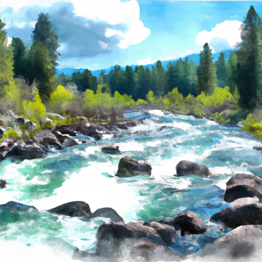
This segment is rated as a Class III-IV whitewater run, making it suitable for intermediate to advanced paddlers. The total segment mileage is approximately 20 miles and takes around 1-2 days to complete, depending on the flow and any stops for camping.
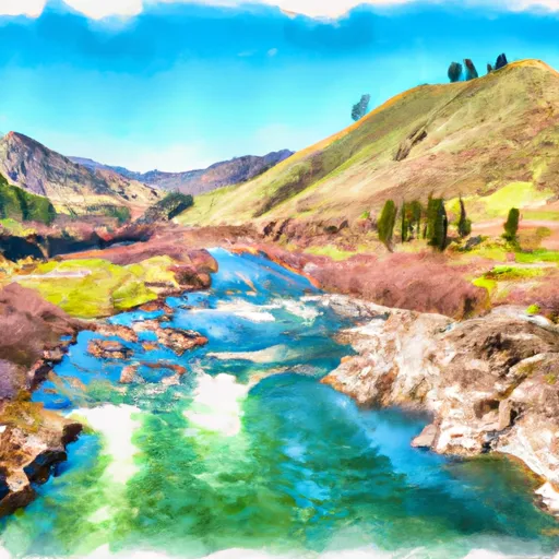
While there are several challenging rapids on this stretch, some of the notable ones include Class IV Devil's Tooth Rapid, Class III Eye of the Needle Rapid, and Class III+ Big Loon Rapid. Paddlers will also encounter several boulder gardens and tight canyons, making this run both technical and exciting.
There are specific regulations to the area, including the requirement for a permit to access the Middle Fork of the Salmon River. Additionally, all paddlers must follow Leave No Trace principles and pack out all waste. It's also important to note that fires are only allowed in designated campfire rings and that some areas may be closed off during certain times of the year for wildlife conservation.
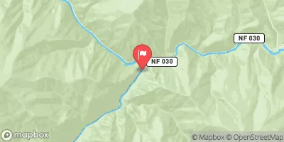
In conclusion, the Whitewater River Run from Phillips Creek Transfer Camp to Confluence with Middle Fork Salmon River is an exhilarating adventure that offers challenging rapids and stunning scenery. Paddlers should be experienced and prepared for the technical nature of this segment, while also adhering to specific regulations to preserve the area's natural beauty.
°F
°F
mph
Wind
%
Humidity
15-Day Weather Outlook
River Run Details
| Last Updated | 2026-02-07 |
| River Levels | 4320 cfs (4.34 ft) |
| Percent of Normal | 110% |
| Status | |
| Class Level | iii-iv |
| Elevation | ft |
| Streamflow Discharge | cfs |
| Gauge Height | ft |
| Reporting Streamgage | USGS 13309220 |
5-Day Hourly Forecast Detail
Nearby Streamflow Levels
Area Campgrounds
| Location | Reservations | Toilets |
|---|---|---|
 Big Loon Campsite
|
||
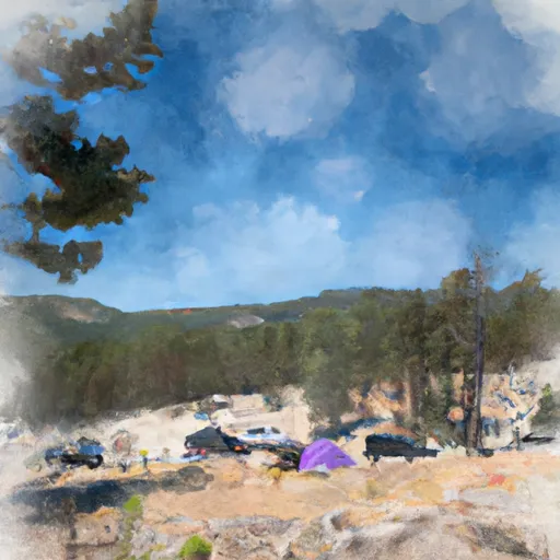 Shelf Campsite
|
||
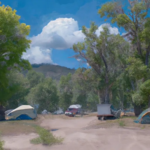 White Creek Campsite
|
||
 Hospital Bar Campsite
|
||
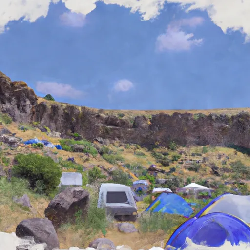 Cave Campsite
|
||
 Rock Island Campsite
|


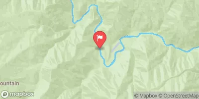
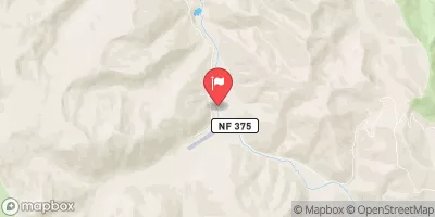
 Phillips Creek Transfer Camp To Confluence With Middle Fork Salmon River
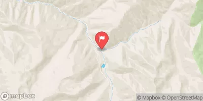
 Hammer Creek To Confluence With Middle Fork Salmon River
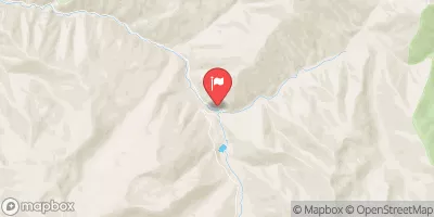
 Headwaters To Confluence With Pole Creek
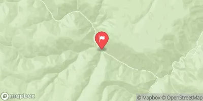
 Headwaters To Confluence With Loon Creek