Summary
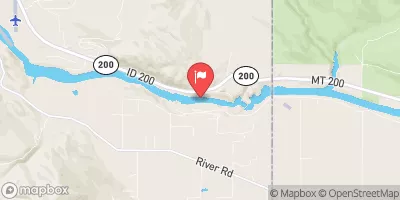
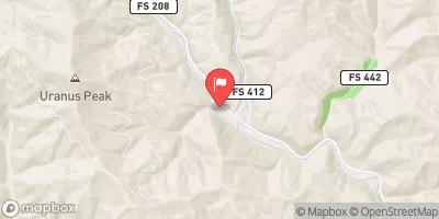
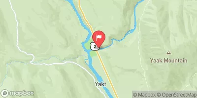
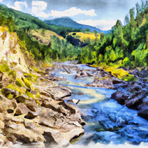
3, T27N, R32W to Bull River, Sec. 12, T27N, R33W in Idaho is a popular destination for whitewater enthusiasts. The ideal streamflow range for this run is between 500 and 1500 cfs. The class rating for this segment is Class III - IV, with a total distance of approximately 9 miles.
Some specific river rapids/obstacles on this run include Twisted Sister, Pocket Creek, and Hell's Gate. Twisted Sister is a narrow and technical rapid, while Pocket Creek offers a steep drop with a tight turn. Hell's Gate is the most difficult rapid on this run, featuring a large hole followed by a steep drop.
Specific regulations to the area include a permit system for overnight camping and a limit of 12 people per group. It is also important to note that this run is only recommended for experienced whitewater paddlers due to its technical nature and challenging rapids.
°F
°F
mph
Wind
%
Humidity
15-Day Weather Outlook
River Run Details
| Last Updated | 2026-02-07 |
| River Levels | 30700 cfs (13.8 ft) |
| Percent of Normal | 134% |
| Status | |
| Class Level | iii |
| Elevation | ft |
| Streamflow Discharge | cfs |
| Gauge Height | ft |
| Reporting Streamgage | USGS 12391950 |
5-Day Hourly Forecast Detail
Nearby Streamflow Levels
Area Campgrounds
| Location | Reservations | Toilets |
|---|---|---|
 Bull River Campground
|
||
 Bull River
|
||
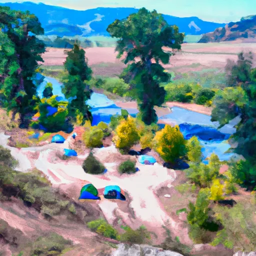 Bull River Campground and Group Site
|
||
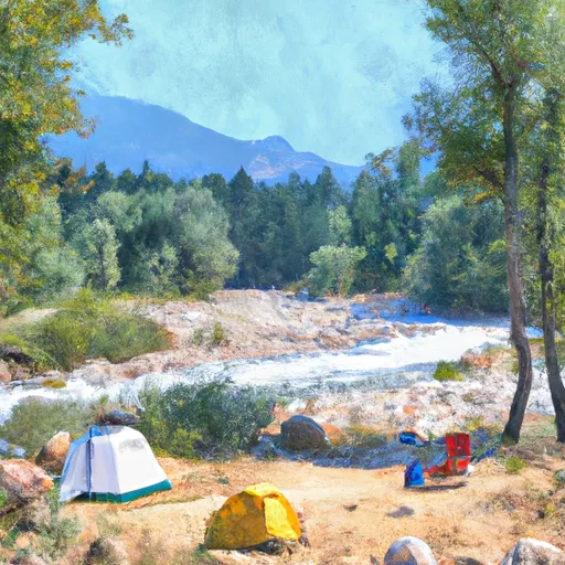 Big Eddy
|
||
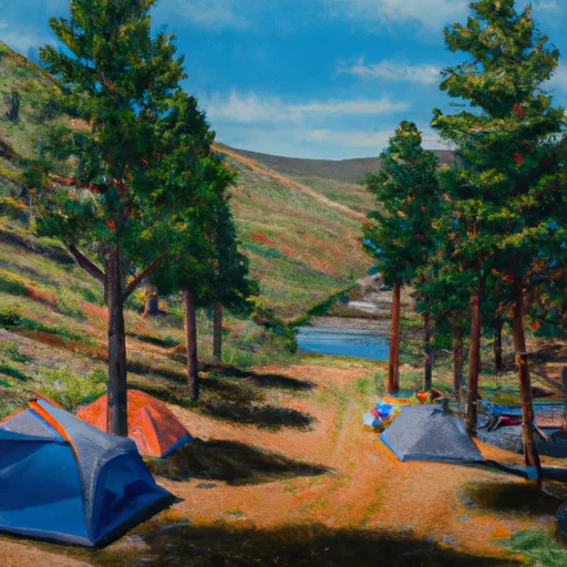 Bad Medicine
|
||
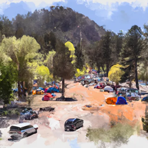 Big Eddy Campground
|
River Runs
-
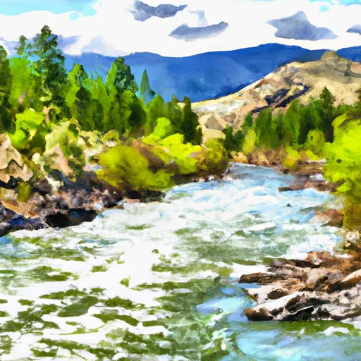 Cabinet Mtns Wilderness Boundary, Sec. 3, T27N, R32W To Bull River, Sec. 12, T27N, R33W
-
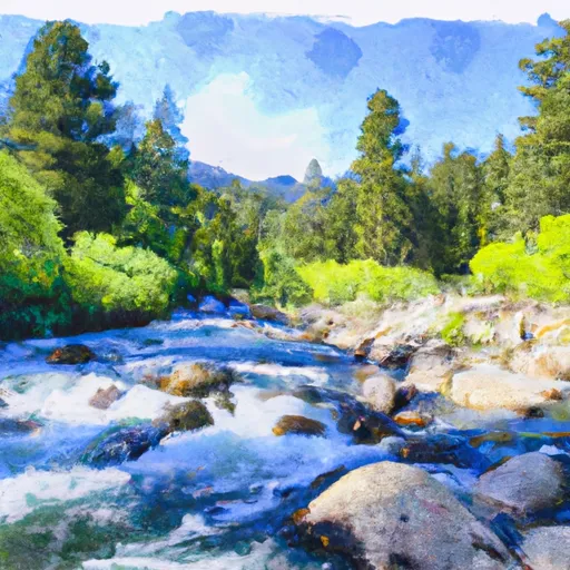 East Fork Bull River, Headwaters, Sec. 13, T27N, R32W To Cabinet Mountains Wilderness Boundary, Sec. 3, T27N, R32W
-
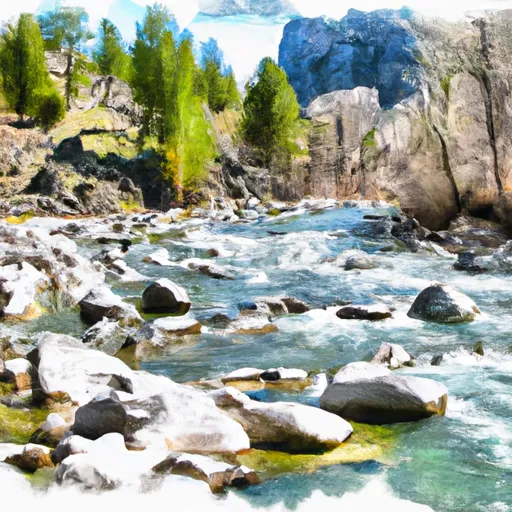 Middle Fork Bull River, Sec. 9, T28N, R33W To Proposed Addition To Cabinet Mtns Wilderness, Sec. 12, T28N, R33W
-
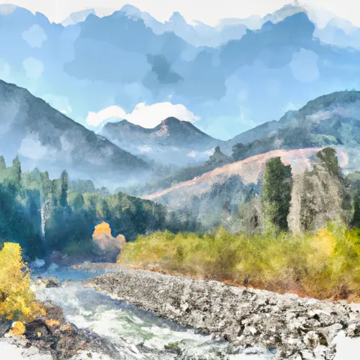 Boundary Proposed Addition Cabinet Mtns Wilderness, Sec. To Cabinet Gorge Reservoir
-
 North Fork Bull River, Sec. 32, T29N, R32W To Proposed Cabinet Mtns Wilderness Boundary, Sec. 1, T28N, R32W


