Summary
There is a West Fork of the Yaak River in Montana, but it is not in Idaho. Please provide accurate information so that I can assist you better.
°F
°F
mph
Wind
%
Humidity
15-Day Weather Outlook
River Run Details
| Last Updated | 2026-02-07 |
| River Levels | 394 cfs (4.3 ft) |
| Percent of Normal | 119% |
| Status | |
| Class Level | None |
| Elevation | ft |
| Streamflow Discharge | cfs |
| Gauge Height | ft |
| Reporting Streamgage | USGS 12306500 |
5-Day Hourly Forecast Detail
Nearby Streamflow Levels
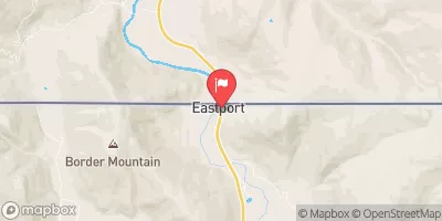 Moyie River At Eastport Id
|
390cfs |
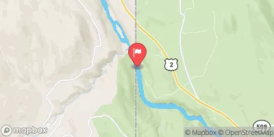 Kootenai River At Leonia Id
|
17300cfs |
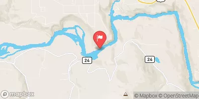 Kootenai River Bel Moyie River Nr Bonners Ferry Id
|
17600cfs |
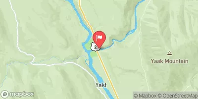 Yaak River Near Troy Mt
|
589cfs |
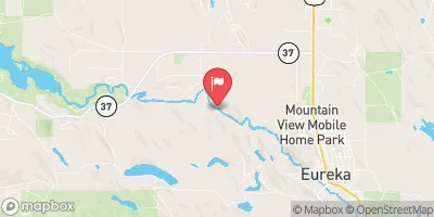 Tobacco River Near Eureka Mt
|
388cfs |
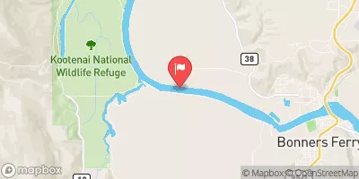 Kootenai River @ Tribal Hatchery Nr Bonners Ferry
|
15700cfs |
Area Campgrounds
| Location | Reservations | Toilets |
|---|---|---|
 Pete Creek
|
||
 Pete Creek Campground
|
||
 Caribou Campground
|


 West Fork Yaak River
 Vinal Creek System