2026-02-18T14:00:00-07:00
* WHAT...Snow expected. There is a likelihood of minor winter weather impacts. Total snow accumulations between 1 and 3 inches. * WHERE...Elk City, Highway 12 Lowell to Lolo Pass, and Dixie. * WHEN...From 11 PM this evening to 1 PM PST Wednesday. * IMPACTS...Winter traveling conditions. For MINOR winter weather impacts, expect a few inconveniences to normal activities. Use caution while driving. The hazardous conditions could impact the Wednesday morning commute, especially over higher passes.
Summary
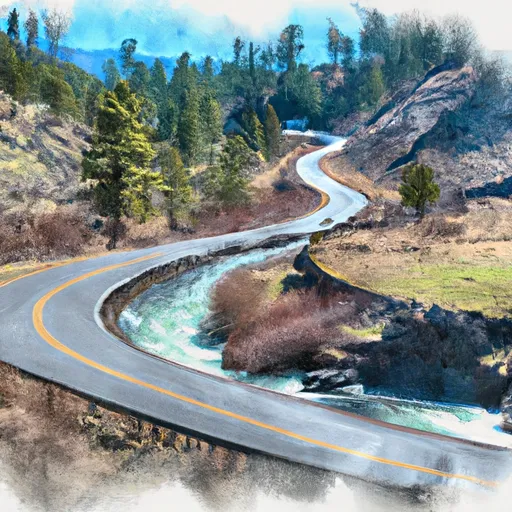
23, T26N, R10E to the North Boundary of the Frank-Church Wilderness, Road #468 in Idaho. The ideal streamflow range for this segment of the river is between 1,500 and 30,000 cubic feet per second (cfs). The Whitewater River run has a class III to IV rating, with rapids such as Snowhole, Weber, and Devil Creek. The segment covers a total of 22 miles.
The Snowhole rapid is a Class IV rapid with a tight chute that requires precise maneuvering. The Weber rapid is a Class III rapid that can be challenging due to its swirls and eddies. The Devil Creek rapid is a Class IV rapid with several challenging waves.
Specific regulations to the area include a permit requirement for all river users, as well as a fire ban in the Frank-Church Wilderness area. Additionally, all waste must be carried out, and camping is only allowed in designated areas.
In conclusion, the Whitewater River run on the Salmon River in Idaho is a challenging and exciting stretch of river with a Class III to IV rating, spanning 22 miles. The ideal streamflow range is between 1,500 and 30,000 cfs, and there are specific regulations in place to protect the area and ensure a safe and enjoyable experience for all river users.
°F
°F
mph
Wind
%
Humidity
15-Day Weather Outlook
River Run Details
| Last Updated | 2021-10-01 |
| River Levels | 42 cfs (4.68 ft) |
| Percent of Normal | 104% |
| Status | |
| Class Level | iii-iv |
| Elevation | ft |
| Streamflow Discharge | cfs |
| Gauge Height | ft |
| Reporting Streamgage | USGS 13337500 |
5-Day Hourly Forecast Detail
Nearby Streamflow Levels
 Sf Clearwater River Nr Elk City Id
|
42cfs |
 Middle Fork Salmon River At Mouth Nr Shoup Id
|
1220cfs |
 Selway River Nr Lowell Id
|
2200cfs |
 Salmon River Nr Shoup Id
|
1550cfs |
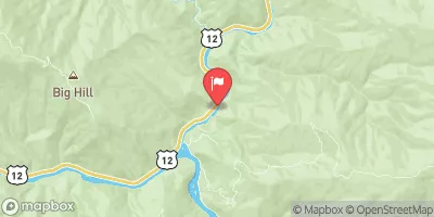 Lochsa River Nr Lowell Id
|
2030cfs |
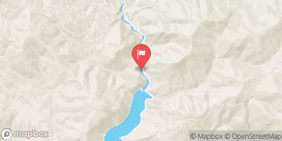 West Fork Bitterroot River Nr Conner Mt
|
139cfs |
Area Campgrounds
| Location | Reservations | Toilets |
|---|---|---|
 Bargamin Creek Campsite
|
||
 Hida Creek Campsite
|
||
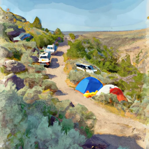 Bailey Bar Campsite
|
||
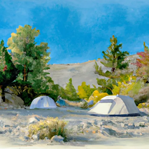 Magpie Creek Campsite
|
||
 Richardson Bar Campsite
|
||
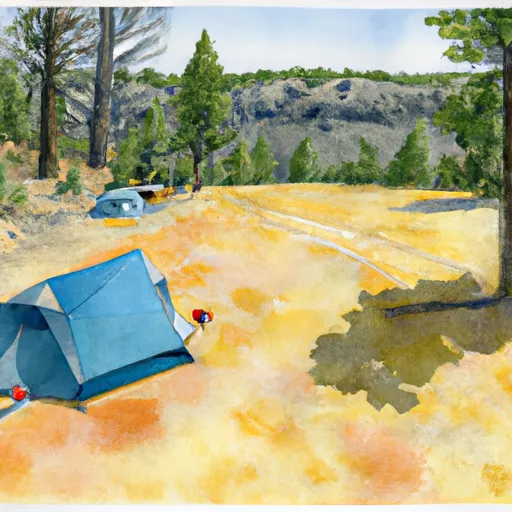 Upper Yellow Pine Bar Campsite
|


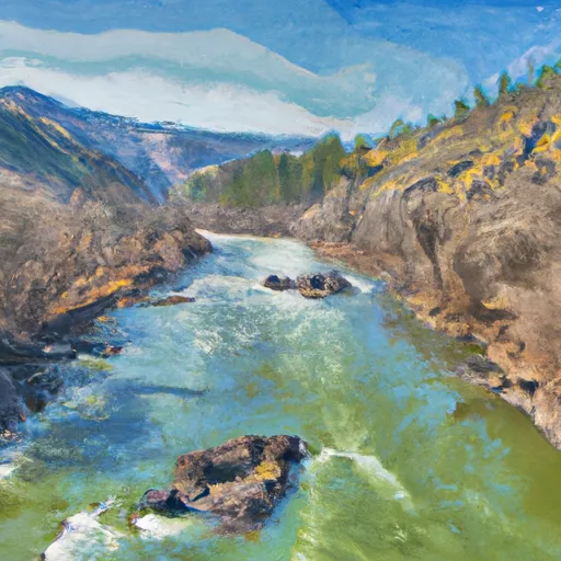 Salmon River, Sec. 23, T26N, R10E To North Boundary Frank-Church Wilderness, Road #468
 Road No. 468, To Headwaters, Sec. 3, T28N, R12E