Summary
468 to Headwaters in Idaho is a popular destination for kayakers and rafters. The ideal streamflow range for this stretch is between 800-1,200 cfs, which provides a challenging but manageable experience for experienced paddlers. This section of the river is rated as Class III-IV, with some challenging rapids and obstacles such as the "S-turns" and "Toilet Bowl."
The segment mileage for this stretch is approximately 8.5 miles, starting at the put-in on Road No. 468 and ending at the Headwaters campground. Paddlers can expect to encounter several rapids and obstacles along the way, including rocks, drops, and waves.
Specific regulations to the area include a permit system for overnight camping at the Headwaters campground. Visitors are required to obtain a permit from the Forest Service before camping in the area. Additionally, all paddlers are required to wear personal flotation devices (PFDs) while on the river.
Overall, the Whitewater River Run on Road No. 468 to Headwaters offers a thrilling whitewater paddling experience for experienced kayakers and rafters. It is important for visitors to be aware of the specific regulations in the area and to check current streamflow levels before embarking on their trip. Sources used for this information include American Whitewater and the U.S. Forest Service.
°F
°F
mph
Wind
%
Humidity
15-Day Weather Outlook
River Run Details
| Last Updated | 2021-10-01 |
| River Levels | 42 cfs (4.68 ft) |
| Percent of Normal | 104% |
| Status | |
| Class Level | iii-iv |
| Elevation | ft |
| Streamflow Discharge | cfs |
| Gauge Height | ft |
| Reporting Streamgage | USGS 13337500 |
5-Day Hourly Forecast Detail
Nearby Streamflow Levels
 Sf Clearwater River Nr Elk City Id
|
42cfs |
 Selway River Nr Lowell Id
|
2080cfs |
 West Fork Bitterroot River Nr Conner Mt
|
142cfs |
 Middle Fork Salmon River At Mouth Nr Shoup Id
|
1290cfs |
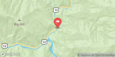 Lochsa River Nr Lowell Id
|
1860cfs |
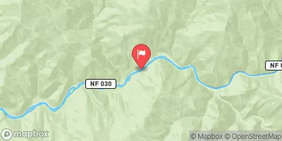 Salmon River Nr Shoup Id
|
1600cfs |
Area Campgrounds
| Location | Reservations | Toilets |
|---|---|---|
 Poet Creek
|
||
 Poet Creek Campground
|
||
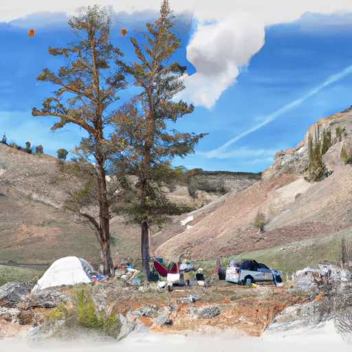 Dry Saddle Trailhead
|
||
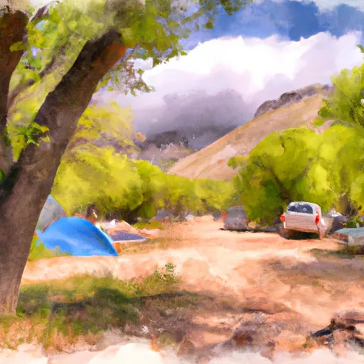 Granite Springs Campground
|
||
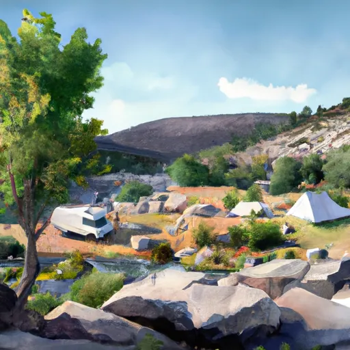 Granite Springs
|
||
 Bridge Creek
|


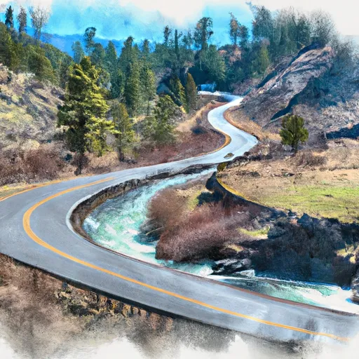 Road No. 468, To Headwaters, Sec. 3, T28N, R12E
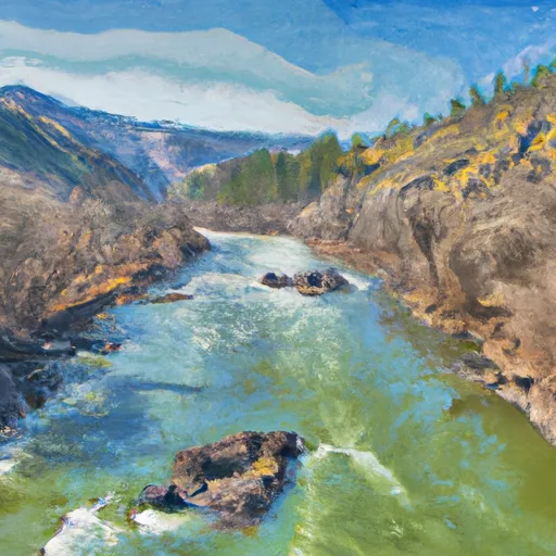 Salmon River, Sec. 23, T26N, R10E To North Boundary Frank-Church Wilderness, Road #468
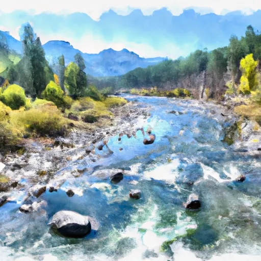 Wilderness Boundary To Headwaters