Summary
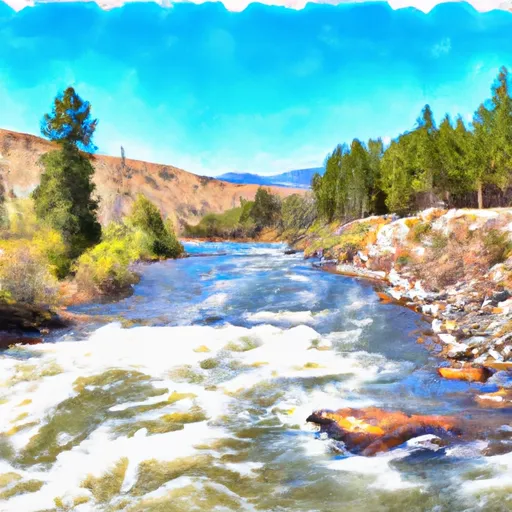
The ideal streamflow range for this river is between 400-1200 cfs, which usually occurs in the late spring and early summer months. The river is rated as a class IV-V, meaning it is considered to be a difficult and technical run with long and continuous rapids. The segment mileage of Canyon Creek is approximately 10 miles, starting near the town of Smiths Ferry and ending at the South Fork Payette River.
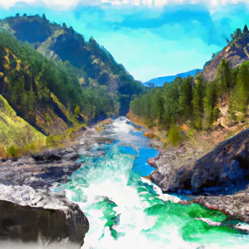
Some of the specific rapids and obstacles on this river include "The Narrows," a tight and technical section of the river that requires precision paddling, and "The S-Turn," a series of sharp turns that require quick maneuvering. Other notable rapids include "Boulder Garden" and "Powerhouse."
There are specific regulations in place for Canyon Creek, including a requirement for all boaters to wear a personal flotation device at all times while on the river. Additionally, there are restrictions on the use of motorized boats and the number of rafts allowed in a group. It is important for anyone planning to run Canyon Creek to research and follow all regulations and safety guidelines to ensure a safe and enjoyable experience.
°F
°F
mph
Wind
%
Humidity
15-Day Weather Outlook
River Run Details
| Last Updated | 2025-06-28 |
| River Levels | 1360 cfs (3.36 ft) |
| Percent of Normal | 56% |
| Status | |
| Class Level | iv-v |
| Elevation | ft |
| Streamflow Discharge | cfs |
| Gauge Height | ft |
| Reporting Streamgage | USGS 13052200 |
5-Day Hourly Forecast Detail
Nearby Streamflow Levels
 Teton River Ab South Leigh Creek Nr Driggs Id
|
235cfs |
 Snake River Nr Heise Id
|
1380cfs |
 Dry Bed Nr Ririe Id
|
98cfs |
 Willow Creek Nr Ririe Id
|
0cfs |
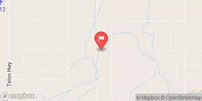 Teton River Nr St Anthony Id
|
397cfs |
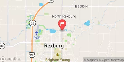 South Fork Teton River Nr Rexburg Id
|
263cfs |
Area Campgrounds
| Location | Reservations | Toilets |
|---|---|---|
 Warm Springs C
|
||
 Warm Springs B
|
||
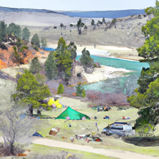 Warm Springs A
|
||
 Rattlesnake Point A
|
||
 Rattlesnake Point B
|
||
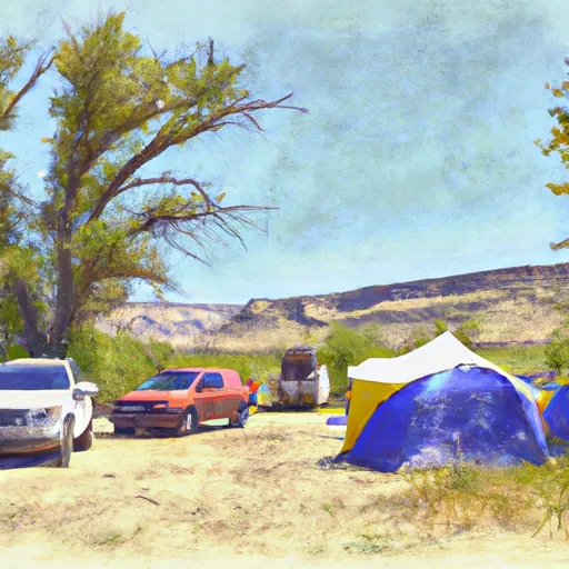 Fisher Bottom Recreation Site
|


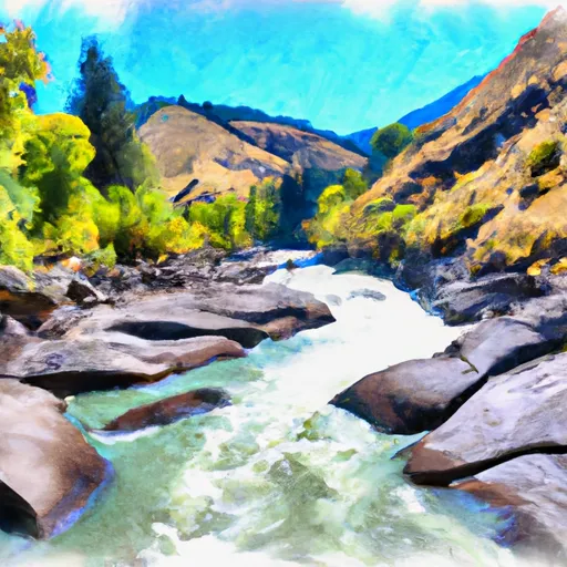 Canyon Creek
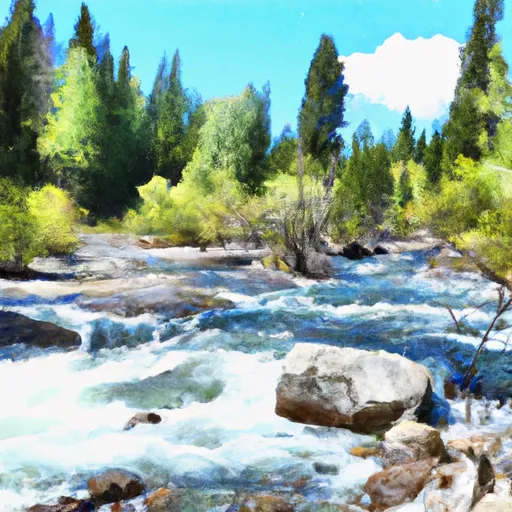 Just West Of Crystal Lake To Trailhead
 Pine Creek To Riley Diversion
 Tie Canyon To Targhee Nf Boundary