Summary
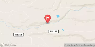
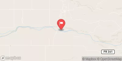
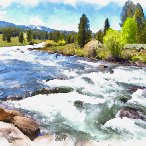
The ideal streamflow range for this river is between 250 to 800 cfs. This streamflow range provides adequate water levels for a thrilling adventure while maintaining safety. Bitch Creek is considered a class III to IV river, offering intermediate to advanced level rapids. The segment mileage of this river run is approximately 10 miles, starting from the confluence of Bitch Creek and Teton River and ending at the Teton Canyon.
Bitch Creek is known for its challenging rapids and obstacles. Some of the most notable rapids include Clawhammer, The S-Turn, and Devil's Slide. Paddlers must be experienced and have the appropriate equipment to navigate these rapids safely. The river also contains several boulder gardens and tight passages that require careful maneuvering.
There are specific regulations to the Bitch Creek area that paddlers must adhere to. The river run is located within the Targhee National Forest and is managed by the Forest Service. Paddlers must obtain a permit before entering the area, and these permits may be limited during peak season. Additionally, paddlers must follow Leave No Trace principles and properly dispose of any waste.
In conclusion, Bitch Creek is a challenging and exciting whitewater river run in Idaho. The ideal streamflow range, class rating, segment mileage, specific river rapids/obstacles, and specific regulations make this river a must-visit for experienced paddlers looking for an adventure.
°F
°F
mph
Wind
%
Humidity
15-Day Weather Outlook
River Run Details
| Last Updated | 2025-06-28 |
| River Levels | 2190 cfs (7.46 ft) |
| Percent of Normal | 49% |
| Status | |
| Class Level | iii |
| Elevation | ft |
| Streamflow Discharge | cfs |
| Gauge Height | ft |
| Reporting Streamgage | USGS 13046995 |


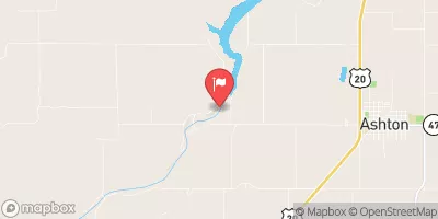
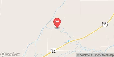
 Bitch Creek
 Headwaters Of North And South Fork And Mainstem To Targhee Nf Boundary
 Yellowstone Np To Targhee Nf Boundary
 Teton River