Make an Announcement

Communicate warnings, disperse advice, and share.


EAST FORK TO CHALLIS BRIDGE

Whitewater River Run


Idaho Salmon River

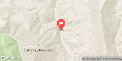
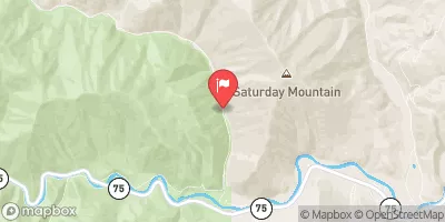
East Fork To Challis Bridge

Class II

STREAMFLOW: 8,330 CFS

Too High
83°, Sunny Then Slight Chance T-Storms

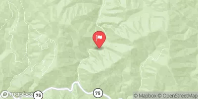
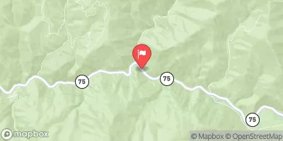
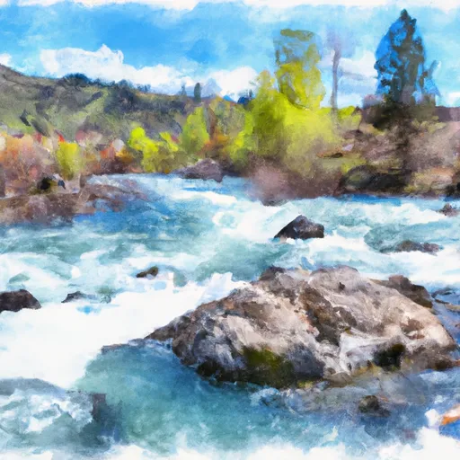
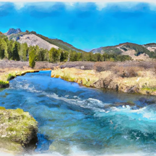
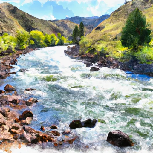
The East Fork to Challis Bridge river run in Idaho on the Salmon River is a Class III-IV whitewater rafting trip with challenging rapids and stunning scenery. This section of water is best navigated from mid-June to mid-July with recommended flows of 1,200-2,000 cfs. Obstacles include Big Mallard Rapid and Eightmile Rapid, both of which require technical maneuvering. The river run difficulty increases with higher water levels, making it best suited for experienced paddlers. Overall, this river run offers a thrilling adventure for those seeking a challenging and scenic rafting experience.

Weather today, A 20 percent chance of showers and thunderstorms after noon. Mostly sunny, with a high near 83. Light and variable wind becoming south southeast 5 to 10 mph in the afternoon.

Status Too High
Class Level II
Elevation 3,922 ft
Run Length 20.0 Mi
Gradient 19 FPM
Streamflow Discharge 8330 cfs
Gauge Height 6.2 ft
Reporting Streamgage Salmon River At Salmon Id
USGS 13302500

Nearby Snowpack and Streamflow Levels

Gauge Streamflow Stage
Trail Creek At Ketchum Id
USGS 13137500
439 cfs 7.0 ft
Big Wood River At Hailey Id Total Flow
USGS 13139510
2,840 cfs 5.7 ft
Big Wood River At Hailey Id
USGS 13139500
218 cfs ft
Big Wood River Nr Ketchum Id
USGS 13135500
711 cfs 7.0 ft
Nf Big Wood River Nr Sawtooth Nra Hq Nr Ketchum Id
USGS 13135520
438 cfs 6.7 ft
Big Lost River At Howell Ranch Nr Chilly Id
USGS 13120500
2,390 cfs 4.2 ft
Big Wood R At S Broadford Bridge Nr Bellevue
USGS 13140335
2,730 cfs 10.3 ft
Little Wood River Ab High Five Creek Nr Carey Id
USGS 13147900
574 cfs 4.1 ft
Warm Springs Cr At Guyer Hot Spr Nr Ketchum Id
USGS 13137000
552 cfs 11.4 ft
Little Wood River Nr Carey Id
USGS 13148500
649 cfs 4.1 ft
Snotel Site Snowpack 24hr Change
Vienna Mine
SNOTEL 845
18" -3"
Hyndman
SNOTEL 537
1" 0"
Mill Creek Summit
SNOTEL 627
2" -1"
Smiley Mountain
SNOTEL 926
14" 0"

Popular Destinations

Campground Campsites Reservations Toilets Showers Elevation
Big Bayhorse 11 8,596 ft
Phi Kappa 21 7,451 ft
Boulder White Clouds None 6,385 ft
Mosquito Flat Reservoir 18 6,987 ft
Mahoney Complex 10 8,426 ft
Park Creek 13 7,669 ft
Murdock 15 6,386 ft
Morgan Creek 4 5,553 ft
Easley 16 6,598 ft
Holman Creek 10 5,669 ft
Bayhorse None 5,164 ft
Deadman Hole Dispersed 4 5,250 ft
Caribou 7 6,530 ft
Ski Area Snowpack Air Temperature 5 Day Forecast
Sun Valley - Bald Mountain 0" 76° 0"
Sun Valley - Dollar Mountain 0" 76° 0"
Sun Valley 0" 76° 0"
River Run Streamflow Length Class
Pahsimeroi to Royal Gorge 8330.0cfs None Mi II- to III-
Torreys to East Fork 8330.0cfs 17.7 Mi II
East Fork to Challis Bridge 8330.0cfs 20.0 Mi II
Challis Bridge to Deer Gulch 8330.0cfs 23.0 Mi II
Salmon to North Fork 8330.0cfs 22.5 Mi II
Colston to the Town of Salmon 8330.0cfs 38.0 Mi II to II+

Log Your Visit

When was your last visit to East Fork to Challis Bridge?

Add a Photo

How was it? How were conditions?

Rate the paddle


Submit

Leave A Review

East Fork To Challis Bridge

Submit

Upload an Image

East Fork To Challis Bridge
Login

Need an Account?

Forgot Your Password?

Delete User Account

Welcome to Snoflo


Continue with a free account

Already Have an Account?


Snoflo Premium

Your first week's free. Cancel anytime

Have a Promo Code?


Already Have an Account?

Signup for Basic Access


Welcome to Snoflo


Continue with a free account

Add Snoflo Premium


Already Have an Account?


Please Verify Your Account

Favorite Limit Reached
Signup for a Free Account

Already Have an Account?