Summary
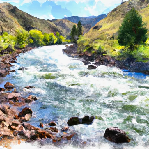
The ideal streamflow range for this river is between 1,200 to 15,000 cubic feet per second (cfs), which typically occurs during the months of May through June. The river is rated as a Class III-IV, making it an intermediate to advanced level of water navigation. The Salmon River has a total segment mileage of 425 miles, with the most popular section being the Lower Salmon River, which is approximately 80 miles long.
The Lower Salmon River is home to several challenging rapids and obstacles, including the Slide Rapid and the Ledge Rapid. The Slide Rapid, rated as Class III, is a long and technical rapid with a steep drop and a challenging turn. The Ledge Rapid, rated as Class IV, is a powerful and complex rapid with multiple drops that require precise navigation. Other notable rapids in the area include the Haystack Rapid and the China Rapid.
There are specific regulations in place to ensure the safety and preservation of the area. The Salmon River is managed by the Bureau of Land Management (BLM), and all individuals running the river must obtain a permit. Additionally, there are restrictions on the use of motorized boats, and all visitors must follow Leave No Trace principles to minimize their impact on the environment.
In summary, the Salmon River's Whitewater River Run is a popular destination for those seeking adventure and excitement. With an ideal streamflow range between 1,200 to 15,000 cfs, a Class III-IV rating, and several challenging rapids and obstacles, this river offers a unique and unforgettable experience. However, it is important to follow specific regulations and practice responsible recreation to ensure the safety and preservation of the area.
°F
°F
mph
Wind
%
Humidity
15-Day Weather Outlook
River Run Details
| Last Updated | 2025-06-28 |
| River Levels | 49 cfs (3.82 ft) |
| Percent of Normal | 51% |
| Status | |
| Class Level | iii-iv |
| Elevation | ft |
| Streamflow Discharge | cfs |
| Gauge Height | ft |
| Reporting Streamgage | USGS 13297330 |
5-Day Hourly Forecast Detail
Nearby Streamflow Levels
Area Campgrounds
| Location | Reservations | Toilets |
|---|---|---|
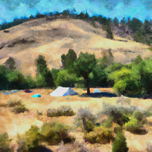 Holman Creek
|
||
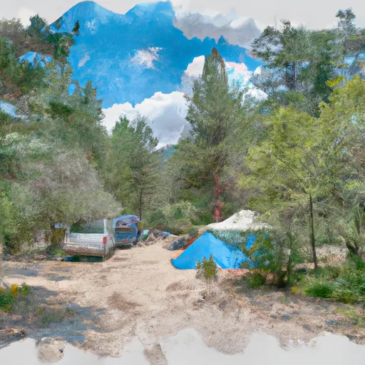 Holman Creek Campground
|
||
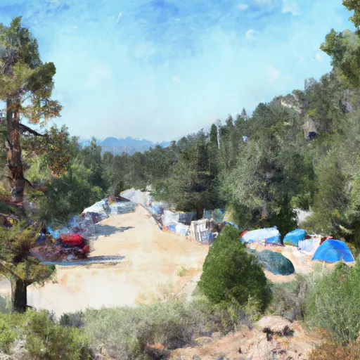 Whiskey Flats Campground
|
||
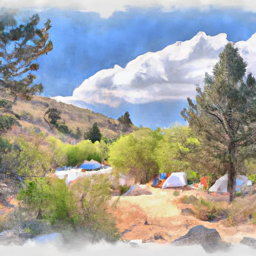 Marshall Creek Campground
|
||
 Lower Obrien
|
||
 Lower O'Brien Campground
|


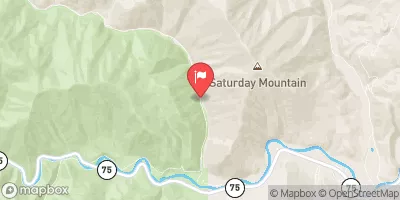
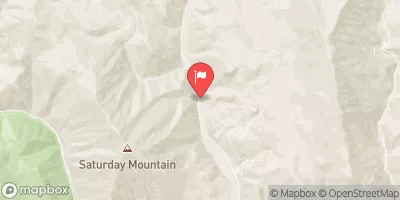
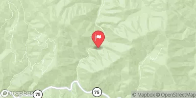
 Salmon River
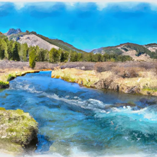 Headwaters To Sawtooth Nf Boundary
 Torreys to East Fork
 Squaw Creek
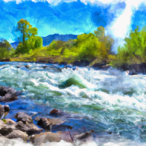 Thompson Creek
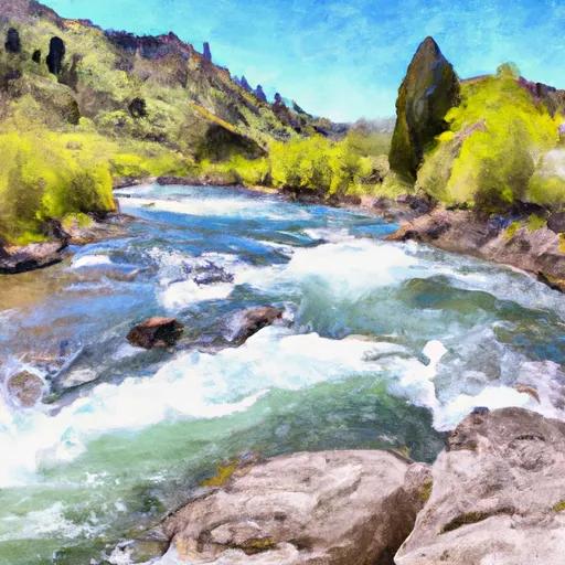 Headwaters To Confluence With Salmon River