Summary
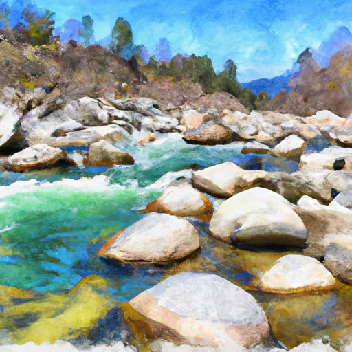
The run has several notable rapids, including Tumbleweed, Ten Pin, Grim Reaper, and Hammer Creek. The best time to float this section of water is typically in the spring or early summer when the water levels are higher. Recommended cfs levels for this run are between 5,000-10,000 cfs. It is important to note that this run is not recommended for beginners, and paddlers should have previous Class III whitewater experience before attempting it.
°F
°F
mph
Wind
%
Humidity
15-Day Weather Outlook
River Run Details
| Last Updated | 2023-06-13 |
| River Levels | 2490 cfs (3.74 ft) |
| Percent of Normal | 55% |
| Optimal Range | 500-20000 cfs |
| Status | Runnable |
| Class Level | III to IV |
| Elevation | 1,456 ft |
| Run Length | 11.0 Mi |
| Streamflow Discharge | 1860 cfs |
| Gauge Height | 3.3 ft |
| Reporting Streamgage | USGS 13337000 |
5-Day Hourly Forecast Detail
Nearby Streamflow Levels
Area Campgrounds
| Location | Reservations | Toilets |
|---|---|---|
 Wilderness Gateway
|
||
 Wilderness Gateway Campground
|
||
 Knife Edge Campground and River Access
|
||
 Knife Edge
|
||
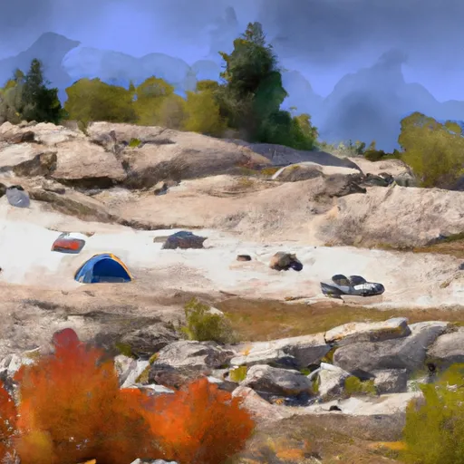 Rocky Ridge
|
||
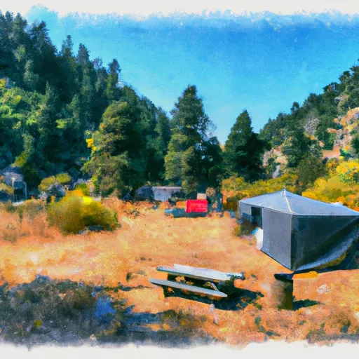 Liz Creek Cabin
|


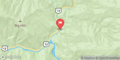
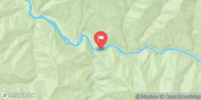
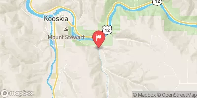
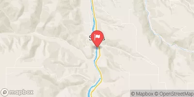
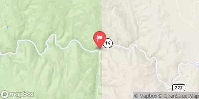
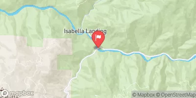
 Fish Creek to Split Creek
 Hungery Creek, Sec. 24, T35N, R8E To Lochsa River, Sec. 33, T35N, R9E
 Headwaters, Sec. 3, T35N, R7E To Fish Creek, Sec. 24, T35N, R8E
 Split Creek to Lowell