Summary
This segment has a class rating of III-IV and a total segment mileage of approximately 9 miles. The ideal streamflow range for this run is between 1000 and 5000 cfs, with the best time to go being late May to early July.
There are several notable rapids and obstacles on this run, including the Hungry Creek Falls, which is a class IV rapid and the first major obstacle on the run. Other notable sections include the Chinese Wall and the Lochsa Falls, which are both class III rapids.
There are specific regulations in place for this area, including required permits for commercial trips and a limit of 100 people per day during peak season. It is also important to note that this run is best suited for experienced whitewater enthusiasts, as the rapids and obstacles can be challenging.
Sources used:
- American Whitewater
- Idaho River Sports
- Northwest Rafting Company
°F
°F
mph
Wind
%
Humidity
15-Day Weather Outlook
River Run Details
| Last Updated | 2026-02-07 |
| River Levels | 4480 cfs (4.71 ft) |
| Percent of Normal | 74% |
| Status | |
| Class Level | iv-iii |
| Elevation | ft |
| Streamflow Discharge | cfs |
| Gauge Height | ft |
| Reporting Streamgage | USGS 13337000 |
5-Day Hourly Forecast Detail
Nearby Streamflow Levels
Area Campgrounds
| Location | Reservations | Toilets |
|---|---|---|
 Wilderness Gateway
|
||
 Wilderness Gateway Campground
|
||
 Knife Edge Campground and River Access
|
||
 Knife Edge
|
||
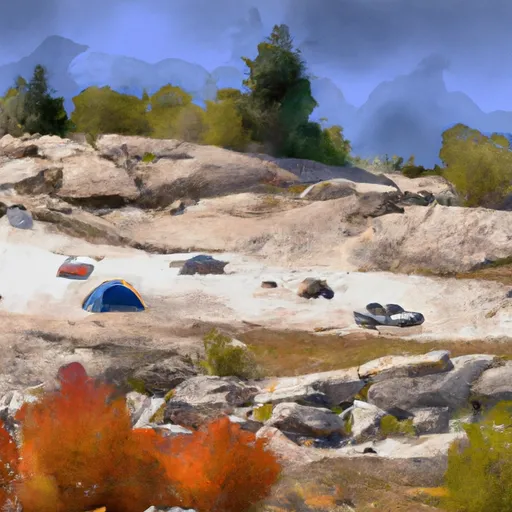 Rocky Ridge
|
||
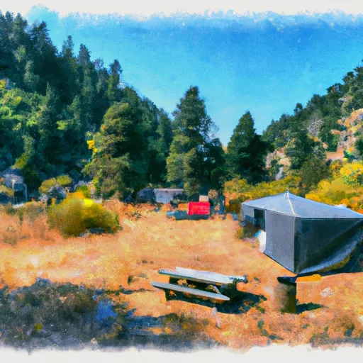 Liz Creek Cabin
|


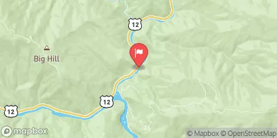
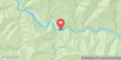
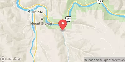
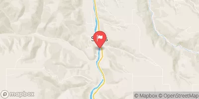
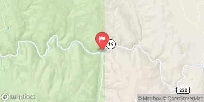
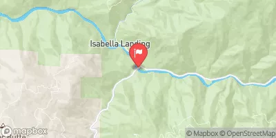
 Hungery Creek, Sec. 24, T35N, R8E To Lochsa River, Sec. 33, T35N, R9E
 Fish Creek to Split Creek
 Headwaters, Sec. 3, T35N, R7E To Fish Creek, Sec. 24, T35N, R8E
 Split Creek to Lowell
 Selway-Bitterroot Wilderness Boundary, Sec. 35, T33N, R9E To Headwaters, Sec. 33, T33N, R10E