Summary
The ideal streamflow range for this segment is between 800 and 2,500 cfs, which typically occurs during the spring runoff season. The segment is rated as Class III-IV, with several notable rapids along the way, including Lunch Counter, Big Kahuna, and Bailing Straits. The total segment mileage is approximately 12 miles, starting at Blodgett Lake Dam and ending at the S-B Wilderness Boundary.
There are specific regulations that apply to this area, including a permit requirement for all commercial outfitters and limitations on the number of private boaters allowed on the river at any given time. Additionally, the use of alcohol and drugs is strictly prohibited while on the river, and all boaters must wear appropriate safety gear, including a personal flotation device and a helmet.
°F
°F
mph
Wind
%
Humidity
15-Day Weather Outlook
River Run Details
| Last Updated | 2025-11-05 |
| River Levels | 3870 cfs (7.82 ft) |
| Percent of Normal | 80% |
| Status | |
| Class Level | iii-iv |
| Elevation | ft |
| Streamflow Discharge | cfs |
| Gauge Height | ft |
| Reporting Streamgage | USGS 12350250 |
5-Day Hourly Forecast Detail
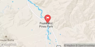
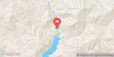
Nearby Streamflow Levels
Area Campgrounds
| Location | Reservations | Toilets |
|---|---|---|
 Blodgett Canyon Campground
|
||
 Blodgett Campground
|
||
 Schumaker
|
||
 Schumaker Campground
|
||
 Bear Creek Pass Campground
|


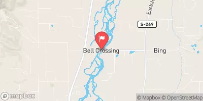
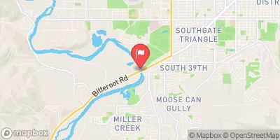
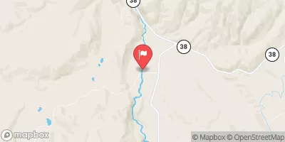
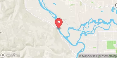
 Blodgett Lake Dam, Sec. 27, T6N, R23W To S-B Wilderness Boundary, Sec. 17, T6N, R21W
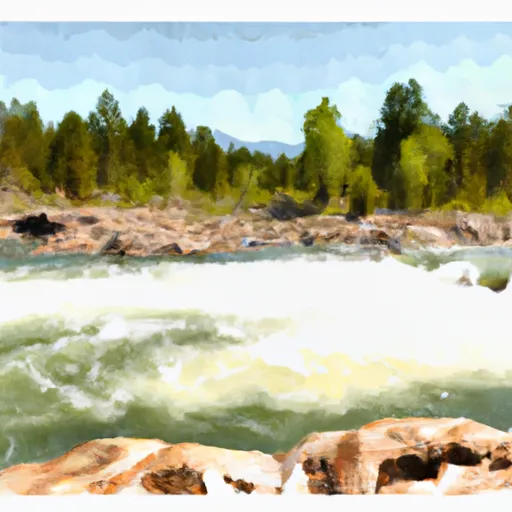 S-B Boundary, Sec. 17, T6N, R21W To Westside Of Blodgett Campground, Sec. 17, T6N, R22W
 West Side Blodgett Campground, Sec. 17, T6N, R21W To Bitterroot Forest Boundary, Sec. 17, T6N, R21W