Summary
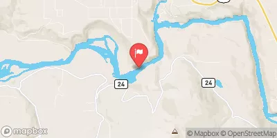
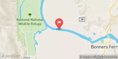
The Whitewater River Run in Montana is a popular destination for whitewater enthusiasts. The ideal streamflow range for this stretch of river is between 700 and 2,500 cubic feet per second (cfs). The class rating for the run ranges from Class III to Class IV, with several rapids and obstacles along the way. The segment mileage from the boundary of the Flagstaff Mountain Inventoried Roadless Area #690 downstream for three miles to the confluence of Main Quartz Creek is approximately 3 miles.
Some of the specific rapids and obstacles on this stretch of river include the "Narrows," "Two Log Jam," "Widowmaker," and "Pinball." These rapids require skill and experience to navigate safely. It is important to note that this stretch of river is only suitable for experienced whitewater paddlers.
There are specific regulations in place for this area, including a permit requirement for overnight camping and a limit on the number of users allowed per day. Additionally, visitors are required to pack out all trash and human waste to protect the delicate ecosystem of the area.
°F
°F
mph
Wind
%
Humidity
15-Day Weather Outlook
River Run Details
| Last Updated | 2026-02-23 |
| River Levels | 465 cfs (3.89 ft) |
| Percent of Normal | 100% |
| Status | |
| Class Level | iii-iv |
| Elevation | ft |
| Streamflow Discharge | cfs |
| Gauge Height | ft |
| Reporting Streamgage | USGS 12304500 |
5-Day Hourly Forecast Detail
Nearby Streamflow Levels
Area Campgrounds
| Location | Reservations | Toilets |
|---|---|---|
 Loon Lake
|
||
 Timberlane Campground
|
||
 Timberlane
|
||
 Kootenai River Campground
|
||
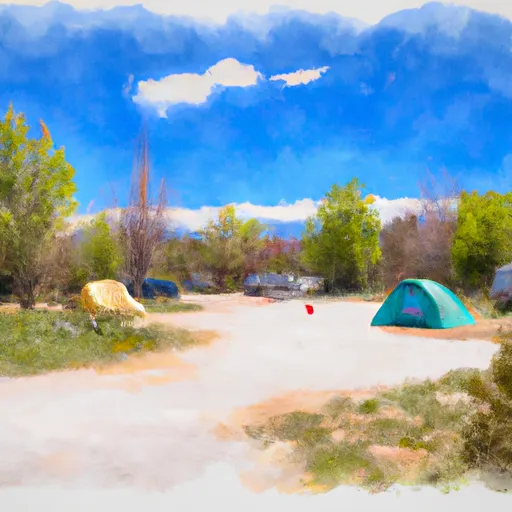 Kilbrennan Lake Campground
|
||
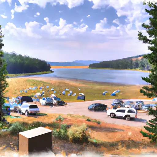 Kilbrennan Lake
|
River Runs
-
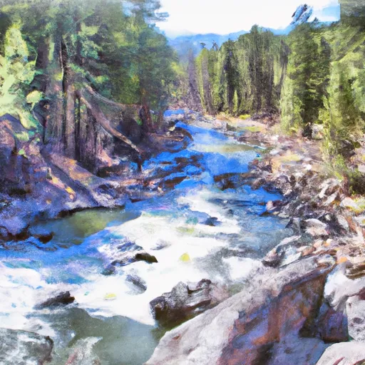 From The Boundary Of The Flagstaff Mountain Inventoried Roadless Area #690 Downstream For Three Miles To The Confluence Of Main Quartz Creek To
-
 From The Headwaters Of The West Fork Of Quartz Creek Downstream For Three Miles To The Boundary Of The Flagstaff Mountain Inventoried Roadless Area #690 To
-
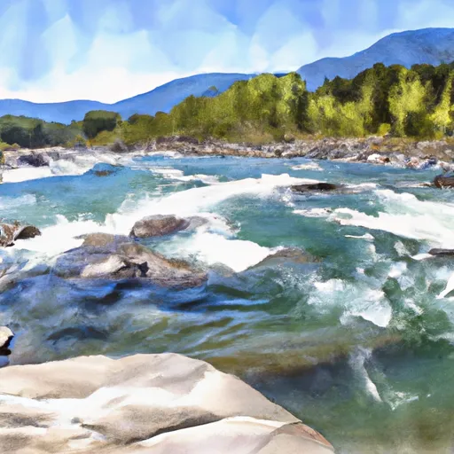 From The Junction Of Hennesey Creek Downstream For Nine Miles To The Confluence With The Kootenai River To
-
 10 Miles From Tub Gulch To Quartz Creek To 10 Miles From Tub Gulch To Quartz Creek
-
 9 Miles From Quartz Creek To Surprise Gulch,Two Miles Below Kootenai Falls To 9 Miles From Quartz Creek To Surprise Gulch,Two Miles Below Kootenai Falls
-
 10 Miles From Surprise Gulch To A Mile Below Kootenai Vista Estates To 10 Miles From Surprise Gulch To A Mile Below Kootenai Vista Estates


