Summary
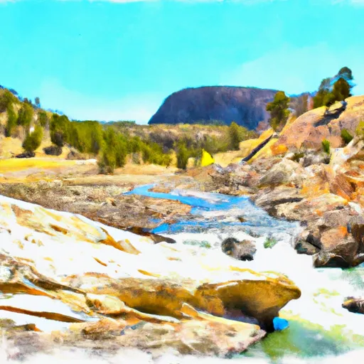
The Dry Fork River in Montana is an excellent whitewater river run for experienced paddlers. The ideal streamflow range for this river is between 500-1000 cfs. The segment mileage for this river is approximately 16 miles. The class rating for this river is Class III-IV, which means that it contains moderate to difficult rapids with powerful currents and significant obstacles.
Some of the specific river rapids and obstacles on this river include Big Timber Falls, which is a significant obstacle that paddlers must navigate. Another obstacle on this river is the Hammer, which is a Class IV rapid that requires precise maneuvering to avoid capsizing.
There are specific regulations for paddling on the Dry Fork River. One of the regulations is that paddlers must wear a personal flotation device at all times while on the river. Additionally, paddlers must have a permit to paddle on this river, which can be obtained from the U.S. Forest Service. Paddlers are also required to follow Leave No Trace principles and to pack out all trash and debris from the river.
Overall, the Dry Fork River in Montana is an exhilarating whitewater river run for experienced paddlers. It offers challenging rapids and obstacles, beautiful scenery, and specific regulations to protect the environment. Paddlers should ensure that they are prepared and have the necessary skills to navigate this river safely.
°F
°F
mph
Wind
%
Humidity
15-Day Weather Outlook
River Run Details
| Last Updated | 2026-02-07 |
| River Levels | 697 cfs (3.62 ft) |
| Percent of Normal | 106% |
| Status | |
| Class Level | iii-iv |
| Elevation | ft |
| Streamflow Discharge | cfs |
| Gauge Height | ft |
| Reporting Streamgage | USGS 06289000 |
5-Day Hourly Forecast Detail
Nearby Streamflow Levels
 Little Bighorn River At State Line Nr Wyola Mt
|
62cfs |
 West Pass Creek Near Parkman
|
10cfs |
 East Pass Creek Near Dayton
|
12cfs |
 Tongue River Near Dayton
|
48cfs |
 Shell Creek Near Shell
|
74cfs |
 Bighorn River At Kane
|
987cfs |
Area Campgrounds
| Location | Reservations | Toilets |
|---|---|---|
 Porcupine Campground
|
||
 Porcupine
|
||
 North Tongue
|
||
 North Tongue Campground
|
||
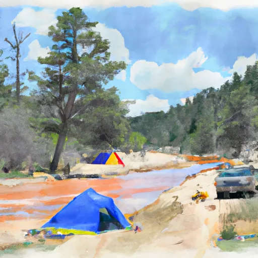 North Tongue River Campground
|


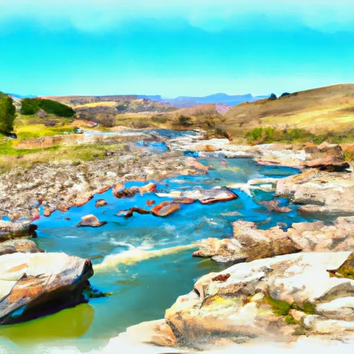 Dry Fork River From Its Confluence With Lake Creek To Confluence With Little Big Horn
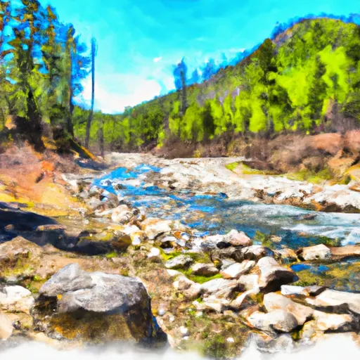 Wagon Box Creek To Dry Fork Trail
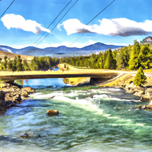 Fools Gold Crossing (Fdr 480) To Wagon Box Creek
 Nf Tongue From Burgess Picnic Ground To Pole Creek