Summary
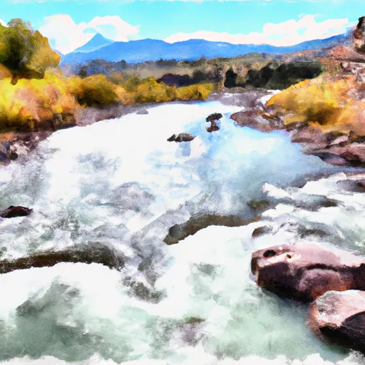
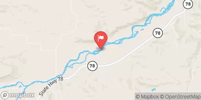
This segment covers 7.8 miles and is rated as a Class III-V run, with a recommended streamflow range of 1,000-2,000 cfs. The river is known for its challenging rapids, including the famous "Kitchen Sink" and "S-Turn" sections. It is recommended for experienced kayakers and rafters only, as the river can be dangerous and unpredictable.
There are specific regulations to the area, including permits and gear requirements. A permit is required for all river trips on the Whitewater River, and it is recommended to carry a first aid kit, emergency whistle, and personal flotation device. Additionally, all boaters must follow Leave No Trace principles and pack out all trash and waste.
Overall, the Whitewater River run in Montana is a challenging and exciting adventure for experienced kayakers and rafters. It is important to follow all regulations and safety guidelines to ensure a safe and enjoyable trip.
°F
°F
mph
Wind
%
Humidity
15-Day Weather Outlook
River Run Details
| Last Updated | 2026-02-07 |
| River Levels | 487 cfs (6.38 ft) |
| Percent of Normal | 98% |
| Status | |
| Class Level | iii-v |
| Elevation | ft |
| Streamflow Discharge | cfs |
| Gauge Height | ft |
| Reporting Streamgage | USGS 06209500 |
5-Day Hourly Forecast Detail
Nearby Streamflow Levels
Area Campgrounds
| Location | Reservations | Toilets |
|---|---|---|
 Sheridan Campground
|
||
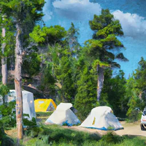 Basin Campground
|
||
 Rattine Campground
|
||
 Rattin Campground
|
||
 Parkside Campground and Group Campsites
|
||
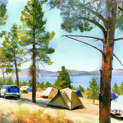 Greenough Lake Campground
|
River Runs
-
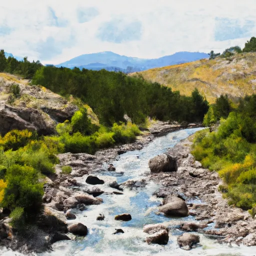 Custer Boundary, Sec. 6, T8S, R20E To Absaroka-Beartooth Wilderness Boundary
-
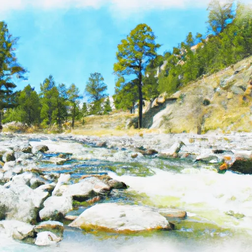 Custer Forest Boundary, Sec. 19, T8S, R20E To Absaroka-Beartooth Wilderness Boundary
-
 Confluence Rock Creek, Sec. 34, T8S, R19E To Absaroka-Beartooth Wilderness Boundary
-
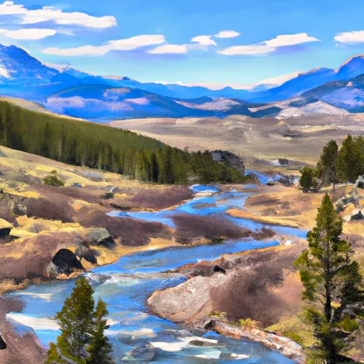 Absaroka-Beartooth Wilderness Boundary To Headwaters, Sec. 10, T9S, R17E
-
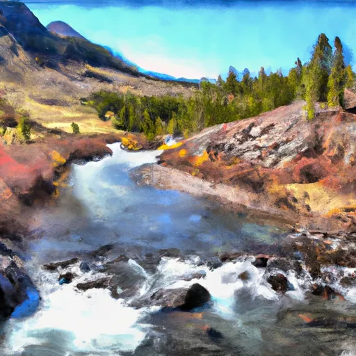 Absaroka-Beartooth Wilderness Boundary To Headwaters, Sec. 25, T8S, R17E


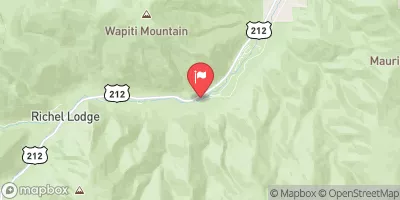
 Horsethief Station
 Beaver Lodge
 Bull Springs