Summary
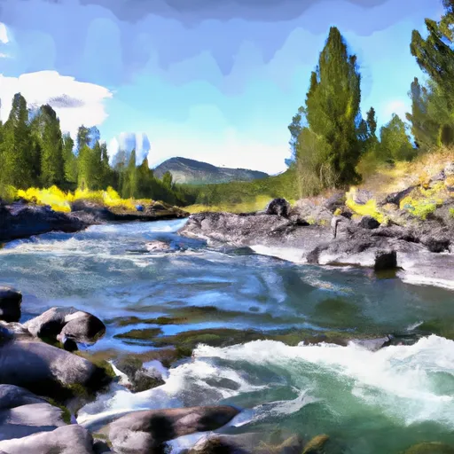
The ideal streamflow range for this section of the river is between 800 and 1500 cubic feet per second (cfs), with higher flows in the spring due to snowmelt. The segment mileage is approximately 12 miles with a class rating of III-IV.
There are several notable rapids and obstacles along this section of the river, including Cut Bank Rapid, which has a large rock in the middle of the channel, and a steep drop at the bottom. Another challenging rapid is Deadman's Eddy, which has a sharp turn followed by a narrow chute. The river also features several large boulders and narrow channels that require careful navigation.
Visitors to this area should be aware of specific regulations, including the requirement to obtain a permit from the U.S. Forest Service before launching on the river. Additionally, visitors should follow Leave No Trace principles, including packing out all trash and minimizing impact on the surrounding wilderness area.
Overall, the Whitewater River Run Wilderness Boundary to South Fork Sun River offers a thrilling and challenging whitewater experience for experienced rafters, with specific regulations in place to protect the natural environment.
°F
°F
mph
Wind
%
Humidity
15-Day Weather Outlook
River Run Details
| Last Updated | 2026-02-07 |
| River Levels | 1560 cfs (4.07 ft) |
| Percent of Normal | 64% |
| Status | |
| Class Level | None |
| Elevation | ft |
| Streamflow Discharge | cfs |
| Gauge Height | ft |
| Reporting Streamgage | USGS 06079000 |
5-Day Hourly Forecast Detail
Nearby Streamflow Levels
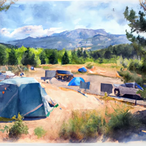
Area Campgrounds
| Location | Reservations | Toilets |
|---|---|---|
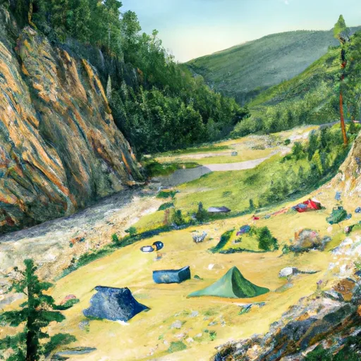 Mortimer Gulch Campground
|
||
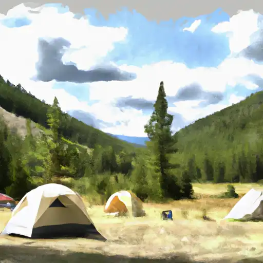 Mortimer Gulch
|
||
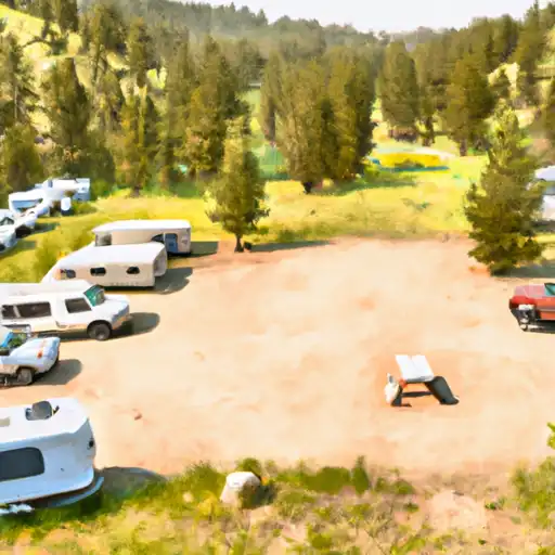 Home Gulch
|
||
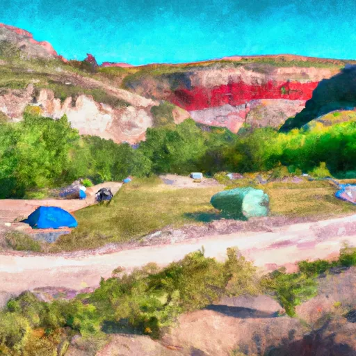 Home Gulch Campground
|
||
 Benchmark Campground
|
||
 Benchmark
|


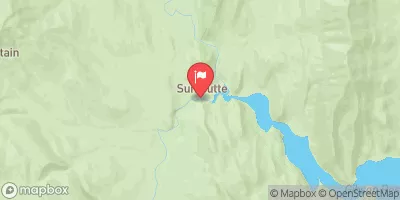
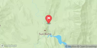
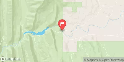
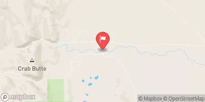
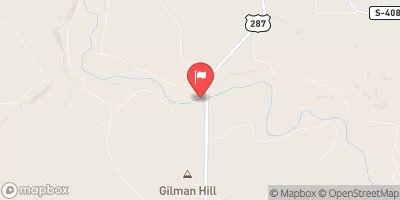
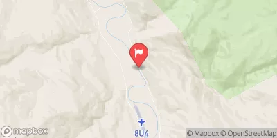
 Wilderness Boundary To South Fork Sun River, Sec. 26, T22N, R10W
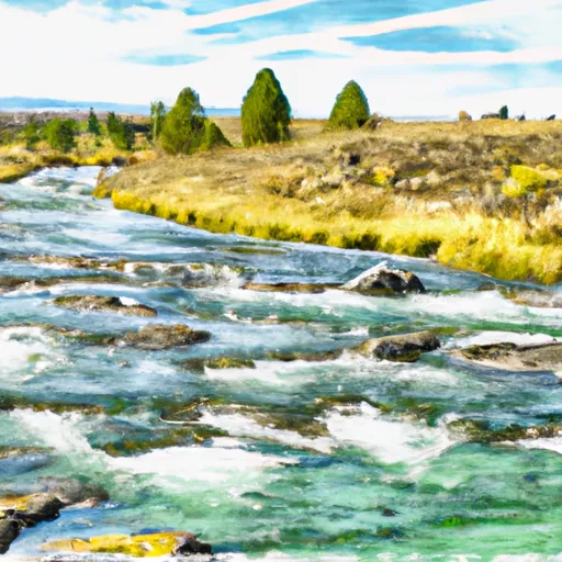 Headwaters, Sec. 4, T18N, R10W To North Fork Sun River, Sec. 26, T22N, R10W
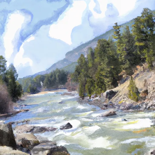 Fool Creek, Sec. 24, T25N, R11W To Wilderness Boundary