Summary
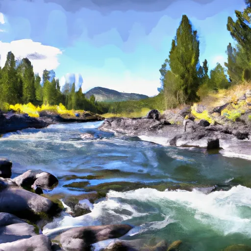
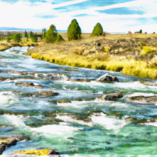
4, T18N, R10W to North Fork Sun River, Sec. 26, T22N, R10W in Montana is a challenging and exciting experience for experienced kayakers and rafters. The ideal streamflow range for this river run is between 1,000 and 3,000 cfs. The class rating for this run ranges from Class III to Class IV, depending on the section of the river.
The segment mileage for this run is approximately 23 miles, with several notable rapids and obstacles. The first few miles of the run are relatively calm, but as the river narrows and the gradient increases, the rapids become more challenging. One of the most notable obstacles is the "Boulder Garden," a section of the river with large boulders and technical rapids that require precise navigation.
There are specific regulations that apply to this area, including a permit requirement for commercial outfitters and a requirement for all boaters to wear personal flotation devices. Additionally, there are restrictions on camping and campfires along the river, as well as regulations regarding the use of motorized equipment.
Overall, the whitewater river run from Headwaters to North Fork Sun River is a thrilling and challenging experience for experienced boaters. However, it is important to be aware of the specific regulations and guidelines for the area to ensure a safe and enjoyable trip.
°F
°F
mph
Wind
%
Humidity
15-Day Weather Outlook
River Run Details
| Last Updated | 2026-02-07 |
| River Levels | 1560 cfs (4.07 ft) |
| Percent of Normal | 64% |
| Status | |
| Class Level | iii-iv |
| Elevation | ft |
| Streamflow Discharge | cfs |
| Gauge Height | ft |
| Reporting Streamgage | USGS 06079000 |
5-Day Hourly Forecast Detail
Nearby Streamflow Levels
Area Campgrounds
| Location | Reservations | Toilets |
|---|---|---|
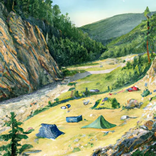 Mortimer Gulch Campground
|
||
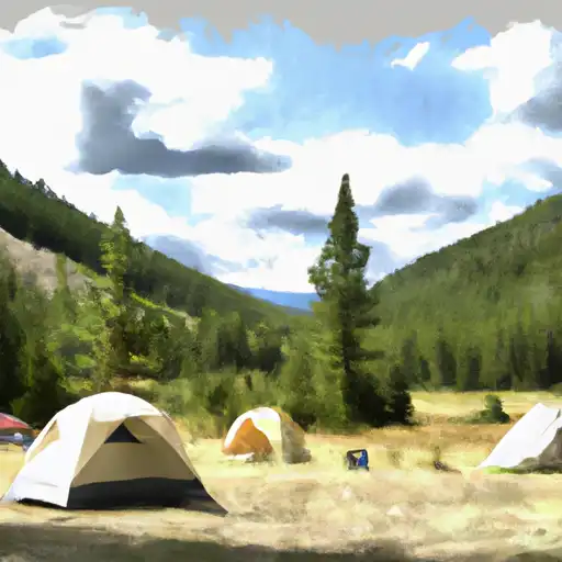 Mortimer Gulch
|
||
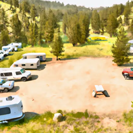 Home Gulch
|
||
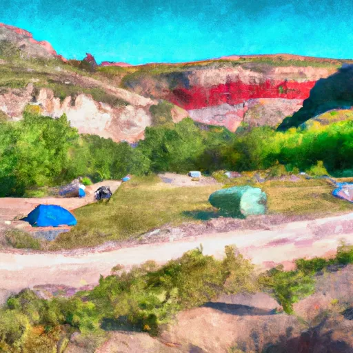 Home Gulch Campground
|
||
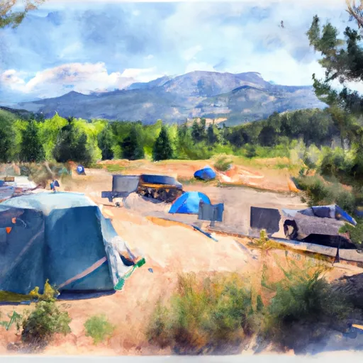 Benchmark Campground
|
||
 Benchmark
|


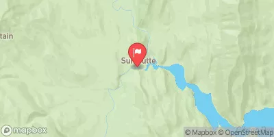
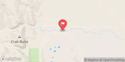
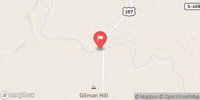
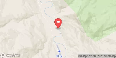
 Wilderness Boundary To South Fork Sun River, Sec. 26, T22N, R10W
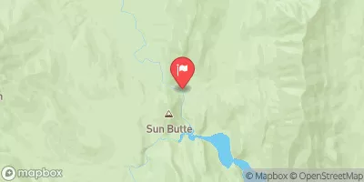
 Headwaters, Sec. 4, T18N, R10W To North Fork Sun River, Sec. 26, T22N, R10W
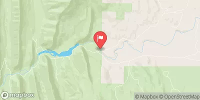
 Fool Creek, Sec. 24, T25N, R11W To Wilderness Boundary