Summary
Regional Streamflow Levels
 Blackfoot River Near Bonner Mt
|
3290cfs |
 Clark Fork At Turah Bridge Nr Bonner Mt
|
1740cfs |
 Rock Creek Near Clinton Mt
|
1060cfs |
 Clark Fork Above Missoula Mt
|
5030cfs |
 South Fork Jocko River Near Arlee Mt
|
174cfs |
 Clark Fork Near Drummond Mt
|
605cfs |
15-Day Long Term Forecast
River Run Details
| Last Updated | 2025-06-28 |
| River Levels | 3180 cfs (4.59 ft) |
| Percent of Normal | 30% |
| Status | |
| Class Level | ii-iv |
| Elevation | ft |
| Streamflow Discharge | cfs |
| Gauge Height | ft |
| Reporting Streamgage | USGS 12340000 |
5-Day Hourly Forecast Detail
Area Campgrounds
| Location | Reservations | Toilets |
|---|---|---|
 Thibodeau FAS
|
||
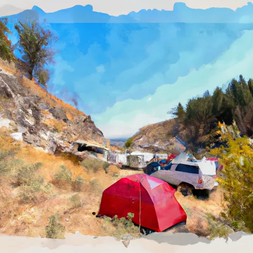 THIBODEAU CAMPGROUND
|
||
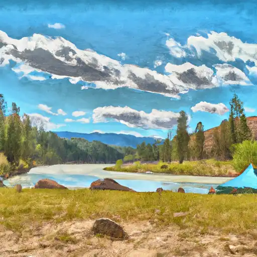 Corricks River Bend FAS
|
||
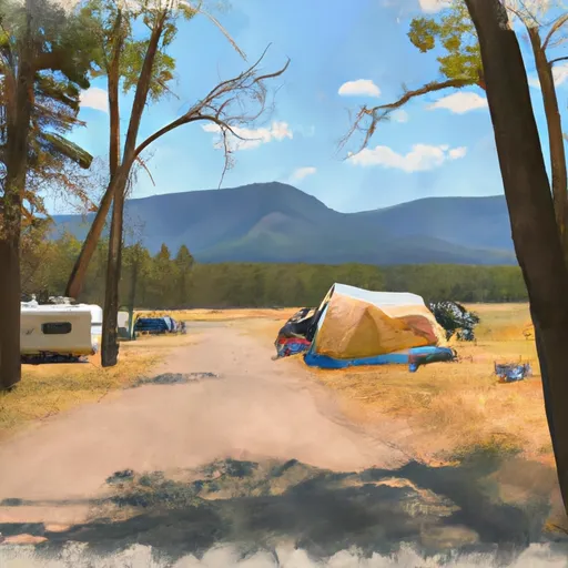 Johnsrud Park FAS
|
||
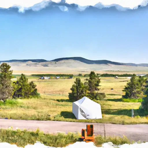 Ninemile Prairie FAS
|
||
 Clearwater Crossing
|


 Whitaker Boat Launch
 WHITAKER BRIDGE DAY USE
 Johnsrud Boat Launch
 MT 200 10495, Missoula County
 Blackfoot River
 Wilderness Rattlesnake
 Salmon Lake State Park
 Beavertail Hill State Park
 Mission Mountains Tribal Wilderness
 Greenough Park
 Blackfoot River
 River Junction Fishing Access
 Blacktail Lake
 Bitterroot River
 Lake Alva
 Continue with Snoflo Premium