2026-01-25T08:00:00-07:00
* WHAT...Heavy snow. Total snow accumulations between 4 and 8 inches across much of eastern New Mexico with higher amounts of 8 to 16 inches above 9,000 feet. Localized areas in eastern Torrance, Guadalupe, and De Baca counties will receive between 8 and 10 inches. Bitterly cold temperatures will accompany the snow. * WHERE...Much of central to east central New Mexico, including Interstate 40 from Tijeras to Santa Rosa to the Texas border. * WHEN...Until 8 AM MST Sunday. * IMPACTS...Travel will become very difficult to impossible for an extended period of time, most notably along I-40 from Tijeras Canyon to the Texas border. The weight of accumulating snow will stress the power grid, potentially creating outages. An extended period of cold temperatures will increase the risk of frostbite and hypothermia. * ADDITIONAL DETAILS...Bitterly cold temperatures will also accompany this winter storm, with the coldest temperatures in the eastern plains of New Mexico. Temperatures will be coldest Sunday and Monday mornings when much of the eastern half of New Mexico will be in the single digits with wind chills below zero.
Summary
The ideal streamflow range for this stretch of river is between 200-500 cfs, which typically occurs in the spring. The class rating for this section of river is Class II-III, meaning there are moderate rapids with regular waves and easy-to-navigate channels.
The segment mileage for this run is approximately 8 miles, starting from the headwaters of the Rio Pueblo and ending at the confluence with the Rio Grande. Along the way, paddlers will encounter several exciting rapids, including the Pinball rapid and the Racecourse rapid.
There are specific regulations that must be followed when paddling this section of river. All boaters are required to wear personal flotation devices (PFDs) at all times, and all boats must be equipped with a bowline and a throw bag. Additionally, camping and fires are prohibited along the banks of the river.
River Run Details
| Last Updated | 2025-12-08 |
| River Levels | 133 cfs (4.02 ft) |
| Percent of Normal | 212% |
| Status | |
| Class Level | ii-iii |
| Elevation | ft |
| Streamflow Discharge | cfs |
| Gauge Height | ft |
| Reporting Streamgage | USGS 08277470 |
Hourly Weather Forecast
Nearby Streamflow Levels
Area Campgrounds
| Location | Reservations | Toilets |
|---|---|---|
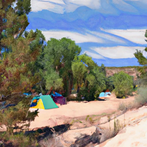 Agua Piedra
|
||
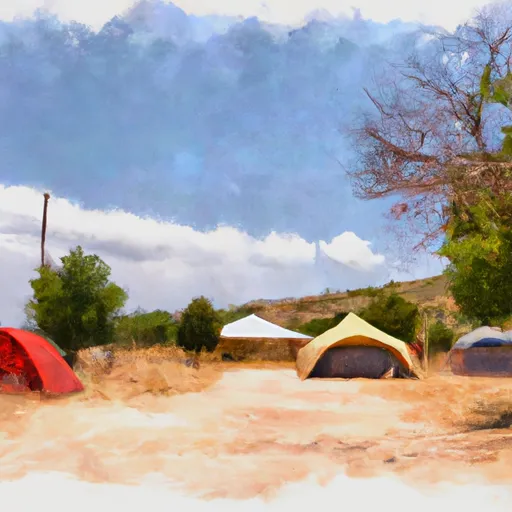 Agua Piedra Campground
|
||
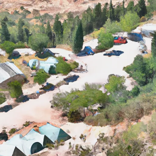 Agua Piedra Campground and Group Shelters
|
||
 Flechado
|
||
 La Junta Canyon
|
||
 Duran
Duran
|


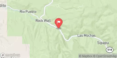
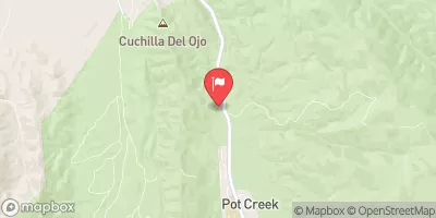
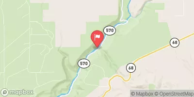
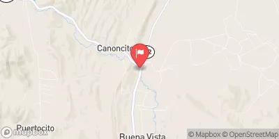
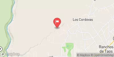
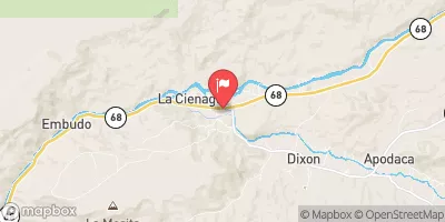
 Headwaters To Confluence With Rio Pueblo
 (La Cueva, Flechado, Gallegos, Tio Maes, La Presa) To Osha Diversion
 Headwaters To Santa Barbara Campground
 Santa Barbara Cg To Concrete Bridge On Fr 116
 Concrete Bridge To Nf Boundary