Summary
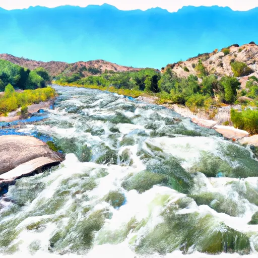
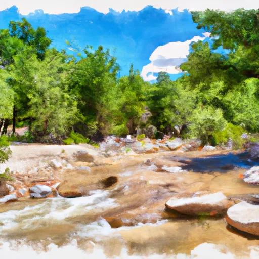
The Confluence with Rio Angostura to Osha Diversion is a popular whitewater river run located in the state of New Mexico. The ideal streamflow range for this segment is between 500 and 2000 cubic feet per second (cfs), with the best conditions occurring in the spring and early summer.
This segment is rated as a class III+ to IV, with a total mileage of approximately 9 miles. The run features several challenging rapids and obstacles, including the Class IV Ancho Rapids, the Class III+ Big Kahuna Rapids, and the Class III+ Souse Hole Rapids.
In order to protect the environment and ensure the safety of visitors, there are several regulations in place for this area. All visitors are required to obtain a permit from the Bureau of Land Management, and all boats must be inspected for invasive species before entering the water.
Additionally, visitors are required to follow Leave No Trace principles and to pack out all trash and waste. Alcohol and glass containers are prohibited on the river, and visitors are required to wear a personal flotation device at all times.
°F
°F
mph
Wind
%
Humidity
15-Day Weather Outlook
River Run Details
| Last Updated | 2025-12-08 |
| River Levels | 133 cfs (4.02 ft) |
| Percent of Normal | 212% |
| Status | |
| Class Level | iii+-iv |
| Elevation | ft |
| Streamflow Discharge | cfs |
| Gauge Height | ft |
| Reporting Streamgage | USGS 08277470 |
5-Day Hourly Forecast Detail
Nearby Streamflow Levels
Area Campgrounds
| Location | Reservations | Toilets |
|---|---|---|
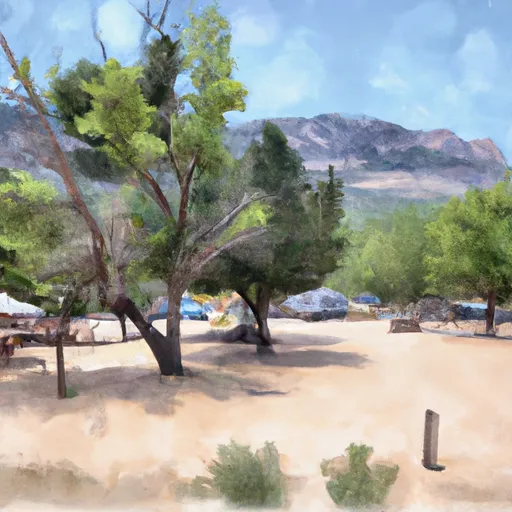 Llanito Frio Campground
|
||
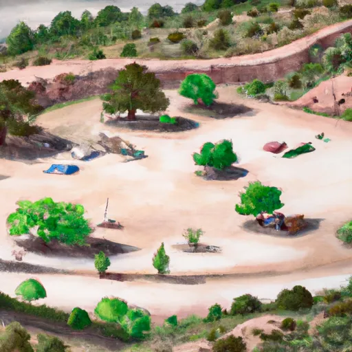 Comales
|
||
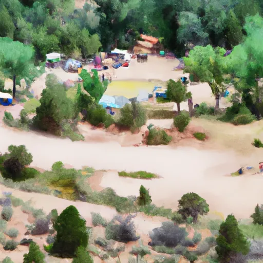 Comales Campground
|
||
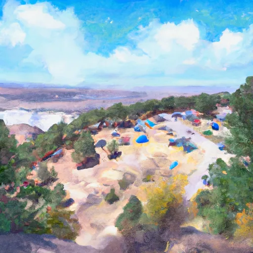 Flechado
|
||
 Hodges
|
||
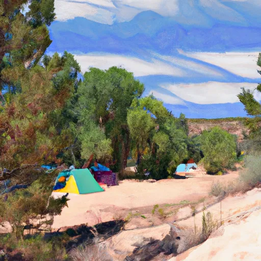 Agua Piedra
|


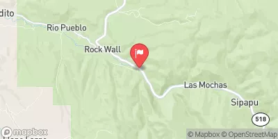
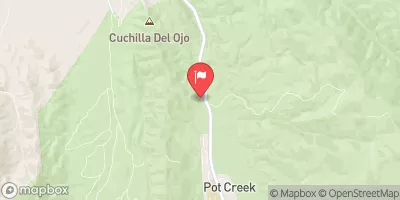
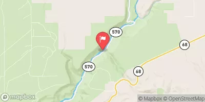
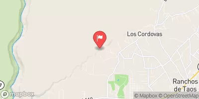
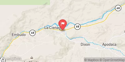
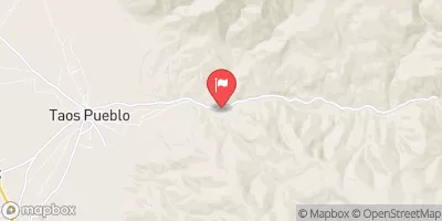
 Confluence With Rio Angostura To Osha Diversion
 Concrete Bridge To Nf Boundary
 Santa Barbara Cg To Concrete Bridge On Fr 116
 (La Cueva, Flechado, Gallegos, Tio Maes, La Presa) To Osha Diversion
 Headwaters To Confluence With Rio Pueblo
 Headwaters To Santa Barbara Campground
 Rio Trampas Fishing
 Rio Chiquito Fishing
 Trampas Lakes Fishing