2026-02-14T05:00:00-07:00
* WHAT...Snow expected. Total snow accumulations between 4 and 8 inches above 8,500ft with lesser amounts below. * WHERE...Northern and Southern Sangre de Cristo Mountains, and Tusas Mountains Including Chama. * WHEN...Until 5 AM MST Saturday. * IMPACTS...High mountain roads and passes will likely become slick and hazardous. Travel could be very difficult. Tire traction will be reduced. Extend the distance between your vehicle and the vehicle in front of you.
Summary
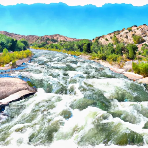
The ideal streamflow range for this section is between 300 and 800 cfs, providing exciting rapids while still being navigable. The class rating for this section of the river is between III and IV, meaning it is a moderately difficult run with technical rapids and obstacles.
The segment mileage for this section of the river is approximately 8 miles, taking roughly 3 hours to complete. Some of the specific river rapids and obstacles include the "Pinball" rapid, which is a series of tight turns and boulders that require precise maneuvering, and the "Wall Slammer" rapid, which has a steep drop followed by a large wall of water.
In terms of regulations, all boaters must wear personal flotation devices and helmets, and it is recommended that all participants have prior whitewater rafting experience. Additionally, there are restrictions on the total number of boaters allowed on the river at any given time to ensure the safety of all participants.
°F
°F
mph
Wind
%
Humidity
15-Day Weather Outlook
River Run Details
| Last Updated | 2026-02-07 |
| River Levels | 1420 cfs (5.77 ft) |
| Percent of Normal | 65% |
| Status | |
| Class Level | None |
| Elevation | ft |
| Streamflow Discharge | cfs |
| Gauge Height | ft |
| Reporting Streamgage | USGS 08290000 |
5-Day Hourly Forecast Detail
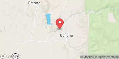
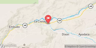
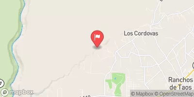
Nearby Streamflow Levels
Area Campgrounds
| Location | Reservations | Toilets |
|---|---|---|
 Santa Barbara
|
||
 Santa Barbara Campground
|
||
 Hodges
|
||
 Trampas Campground
|
||
 Trampas Medio Campground
|
||
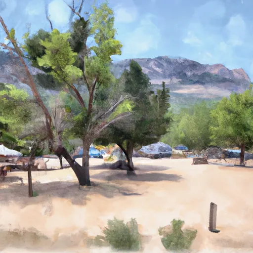 Llanito Frio Campground
|


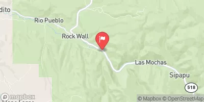
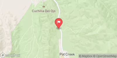
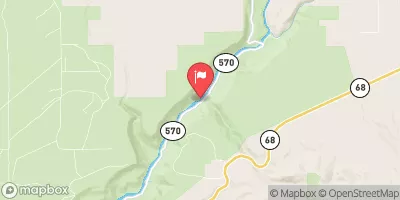
 Headwaters To Santa Barbara Campground
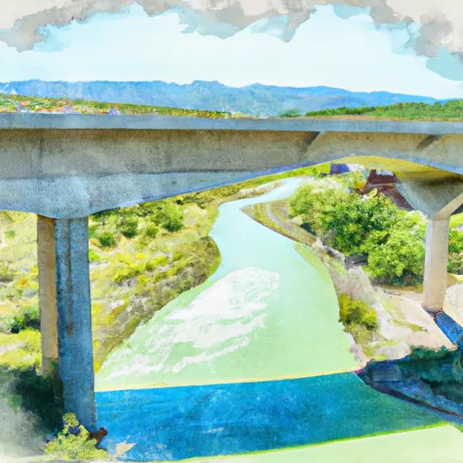 Santa Barbara Cg To Concrete Bridge On Fr 116
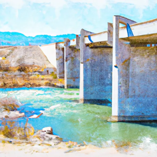 Concrete Bridge To Nf Boundary
 Headwaters To Confluence With San Leonardo
 Headwaters To Confluence With Rio Pueblo
 Confluence With Rio Angostura To Osha Diversion