Summary
The ideal streamflow range for this run is between 250 and 500 cubic feet per second (cfs) to ensure a fun and safe experience. The river is rated as Class II-III, with some sections reaching Class IV during high water.
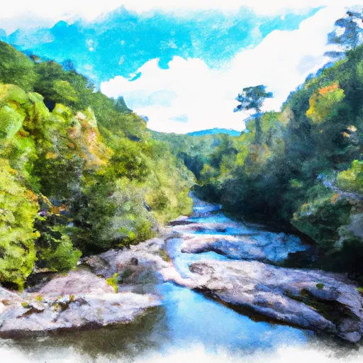
The segment mileage for this run is approximately 6.5 miles, starting at the Linville Wilderness Boundary and ending at the Lake James State Park. Along the way, there are several notable rapids and obstacles including the “Toilet Bowl,” “Surf City,” and “Bump and Grind.”
It is important to note that this river run is subject to specific regulations. The use of motorized watercraft is prohibited, and all boaters must wear personal flotation devices at all times. Additionally, the use of alcohol or drugs while on the river is strictly prohibited.
°F
°F
mph
Wind
%
Humidity
15-Day Weather Outlook
River Run Details
| Last Updated | 2026-02-07 |
| River Levels | 130 cfs (1.52 ft) |
| Percent of Normal | 30% |
| Status | |
| Class Level | ii-iii |
| Elevation | ft |
| Streamflow Discharge | cfs |
| Gauge Height | ft |
| Reporting Streamgage | USGS 02138500 |
5-Day Hourly Forecast Detail
Nearby Streamflow Levels
 Linville River Near Nebo
|
113cfs |
 Johns River At Arneys Store
|
242cfs |
 Catawba R Nr Pleasant Gardens
|
132cfs |
 South Toe River Near Celo
|
81cfs |
 Jacob Fork At Ramsey
|
28cfs |
 Yadkin River At Patterson
|
34cfs |


 Paddy Creek Campground
 Lake James State Park
 Horseshoe Bend Family Campground
 Steele Creek Park & Family Campground
 Daniel Boone Family Campground
 Mad Mama's River Run Campground
 Linville Boat Ramp
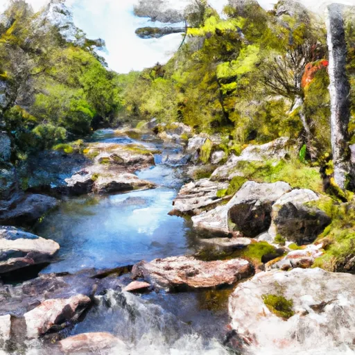 Linville Wilderness Boundary To Lake James
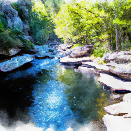 Linville Gorge Wilderness Boundary To Southern End Of Wilderness
 Blue Ridge Parkway Boundary To Linville Gorge Boundary