Summary
The Whitewater River Run in North Carolina is a popular destination for whitewater enthusiasts. The ideal streamflow range for this run is between 200 and 500 cubic feet per second (cfs), although it can be run at higher or lower flows. The class rating for this run is III-IV, which means it is suitable for intermediate to advanced paddlers. The segment mileage is approximately 11 miles from the Blue Ridge Parkway Boundary to the Linville Gorge Boundary.
The Whitewater River Run features several notable rapids and obstacles, including the Entrance Rapid, the Narrows, and the Big Corkscrew. The Entrance Rapid is a class IV drop that requires precise navigation, while the Narrows is a tight, technical section that requires careful maneuvering. The Big Corkscrew is a class III+ rapid that features a large hole at the bottom, which can be challenging to negotiate.
There are specific regulations that apply to the Whitewater River Run. Paddlers are required to obtain a permit from the U.S. Forest Service in order to access the river, and groups are limited to a maximum of 25 people. Additionally, paddlers are prohibited from camping in the Linville Gorge Wilderness Area, and are required to pack out all trash and waste. Overall, the Whitewater River Run is a challenging and rewarding whitewater experience that requires skill and preparation.
°F
°F
mph
Wind
%
Humidity
15-Day Weather Outlook
River Run Details
| Last Updated | 2026-02-07 |
| River Levels | 25 cfs (1.08 ft) |
| Percent of Normal | 37% |
| Status | |
| Class Level | iv-iii+ |
| Elevation | ft |
| Streamflow Discharge | cfs |
| Gauge Height | ft |
| Reporting Streamgage | USGS 02111000 |
5-Day Hourly Forecast Detail
Nearby Streamflow Levels
 Linville River Near Nebo
|
113cfs |
 Johns River At Arneys Store
|
242cfs |
 South Toe River Near Celo
|
81cfs |
 Catawba R Nr Pleasant Gardens
|
132cfs |
 Yadkin River At Patterson
|
34cfs |
 Watauga River Near Sugar Grove
|
156cfs |


 Linville Falls
 Linville Falls - Blue Ridge Parkway
 Linville Falls Campground
 Buck Hill Campground
 Steele Creek Park & Family Campground
 Daniel Boone Family Campground
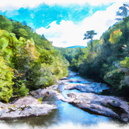 Blue Ridge Parkway Boundary To Linville Gorge Boundary
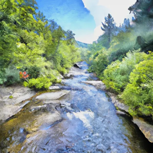 Headwaters Above Linville Gap To Blue Ridge Parkway Boundary
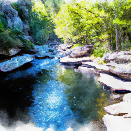 Linville Gorge Wilderness Boundary To Southern End Of Wilderness
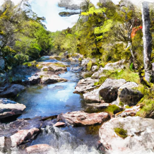 Linville Wilderness Boundary To Lake James
 Wilderness Linville Gorge
 Linville River Game Land
 Grandfather Mountain State Park